Shafer Butte
SHAFER BUTTE
Part of Boise National Forest
Overview
Shafer Butte is located atop the scenic Boise Ridge Mountains, near Bogus Basin Mountain Recreation Area, at an elevation of 7,000 feet. Visitors enjoy hiking and biking on various trails in the surrounding area, and simply relaxing and taking in the area's beautiful views.Facilities
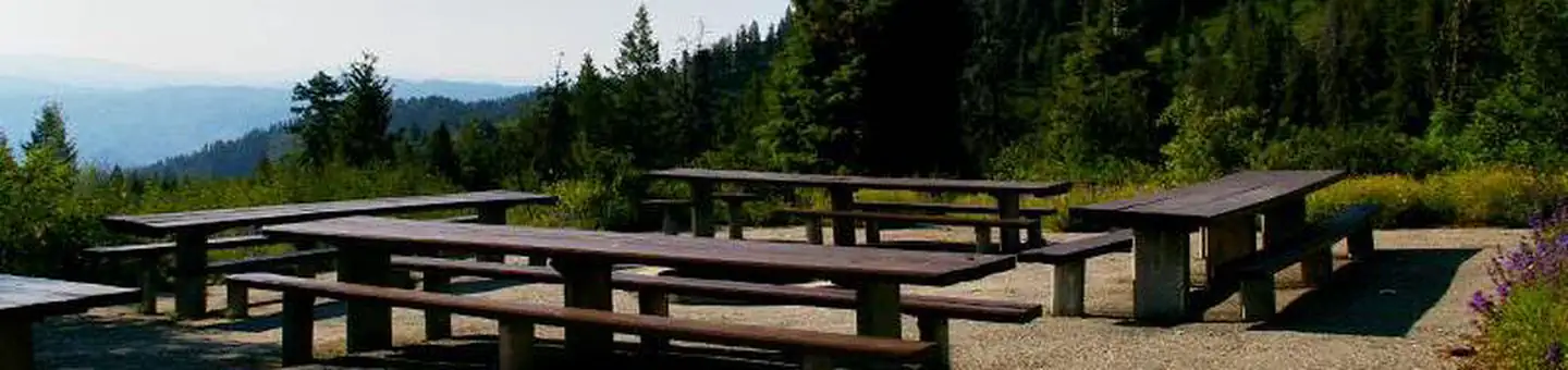
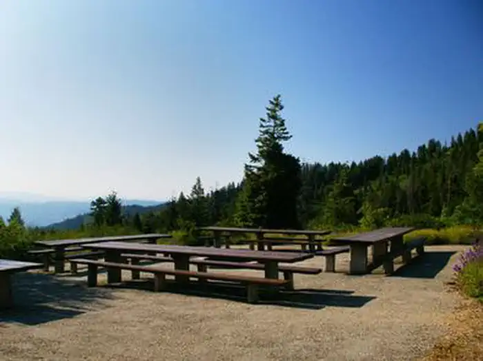
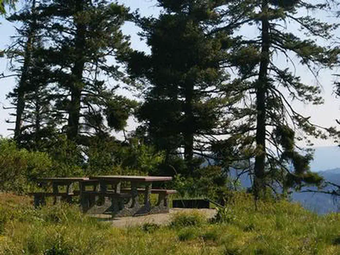
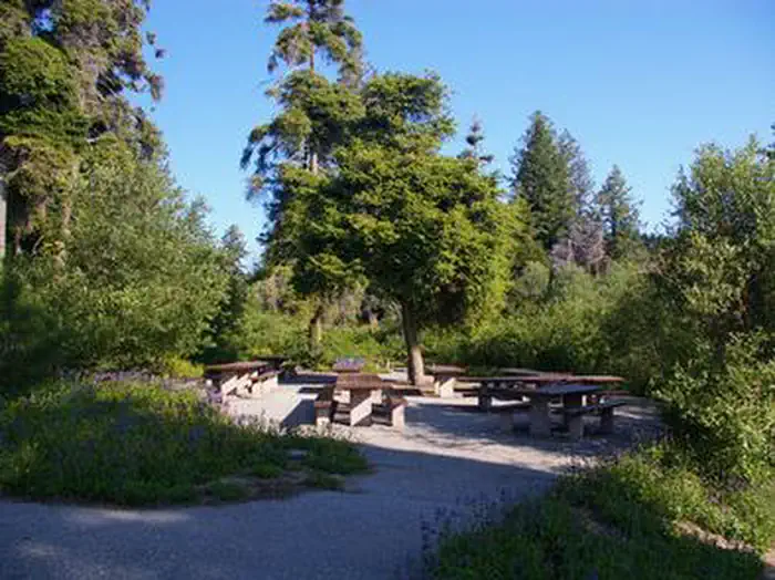
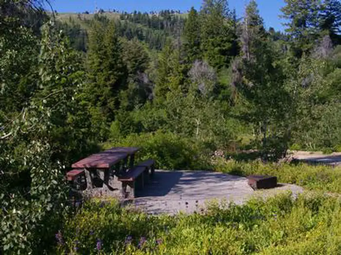
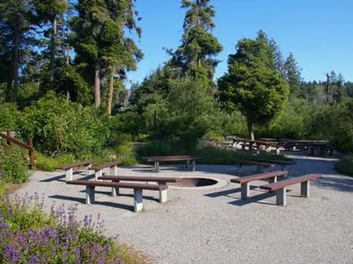
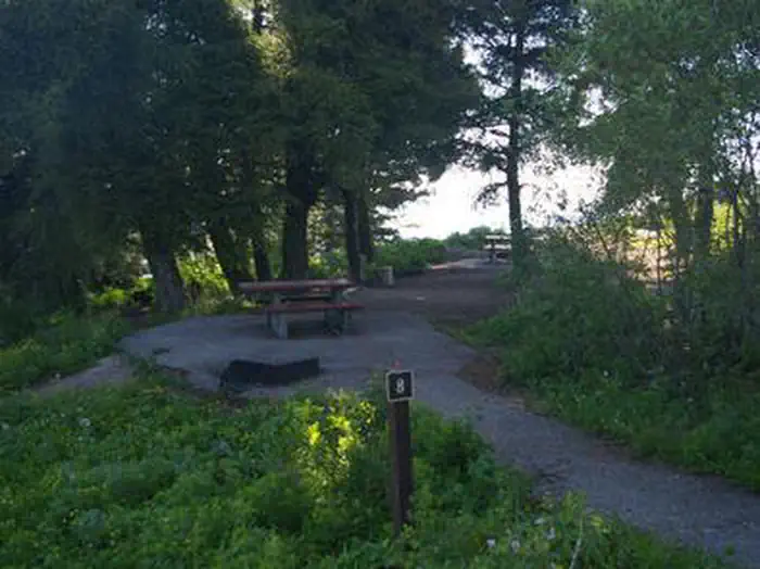
Shafer Butte contains single-family tent campsites and two day-use, group picnic areas, all of which are accessible. Sites are equipped with picnic tables and campfire rings, and many of the overnight campsites have tent pads. The overnight sites are walk-in and are clustered close together, with limited vegetation screening for privacy. Accessible vault restrooms are provided, but there is no electricity. Parking spurs and pathways within the campground are paved, and each site can be accessed via a short walking path from the parking area.Natural Features
Shafer Butte offers scenic views of Deer Point, Mores Mountain and Shafer Butte summits, as well as the expansive valley below. The campground is situated among Douglas fir and aspen trees, which offer partial shade in most sites. Wildlife and summer wildflowers are abundant in the area.Recreation
Popular activities in the area include hiking and mountain biking, the Mores Mountain Trail begins in the campground. This 2-mile interpretive nature trail is family friendly.Nearby Attractions
Bogus Basin Mountain Recreation Area is close by and offers more hiking and biking trails, as well as other summer activities, check out this link for more information http://bogusbasin.org. The Ridge to River trail system is near by as well, check out this link for more information http://www.ridgetorivers.orgImportant Notices
- Idaho OHV Safety Message
- Additional day-use picnic sites and campsites are not listed for reservation and are available on a first-come, first-served basis
- Click here for more information on the Boise National Forest
- Don't Move Firewood: Help prevent the spread of tree-killing pests in our national forests by obtaining firewood near your destination and burning it on-site. For more information visit dontmovefirewood.org.
Water system is shut down - no estimated timeline for completion of repair. No potable water available at the campground.
Available Activities
- WILDLIFE VIEWING - Wildlife Viewing
- HIKING - Hiking
- CAMPING - Camping
- BIKING - Mountain Biking
Directions
From Boise, Idaho, travel along Bogus Basin Road for approximately 20 miles. The last three miles are on a gravel road. Turn right (east) on the signed gravel road and travel just over a mile to the campground and picnic area.
Contact Information
Phone: 208-587-7961
3080 Industrial WayMOUNTAIN HOME, ID 83647
Rental Options
Available Campsites
- Site 008, Loop RCLW, Type Walk To
- Site 013, Loop RCLW, Type Walk To
- Site 009, Loop RCLW, Type Walk To
- Site 010, Loop RCLW, Type Walk To
- Site GSE, Loop SHAF, Type Group Picnic Area
- Site GSW, Loop RCWE, Type Group Picnic Area
- Site 014, Loop RCLW, Type Walk To
- Site 011, Loop RCLW, Type Walk To
- Site 012, Loop RCLW, Type Walk To