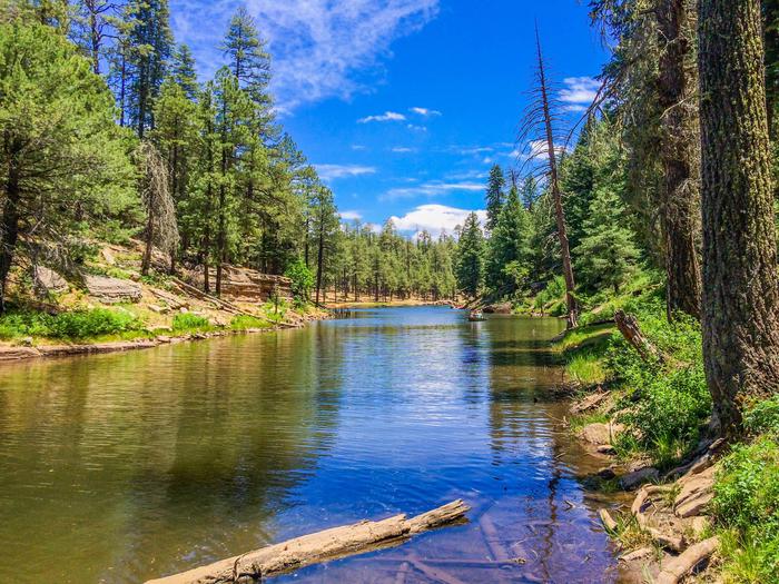
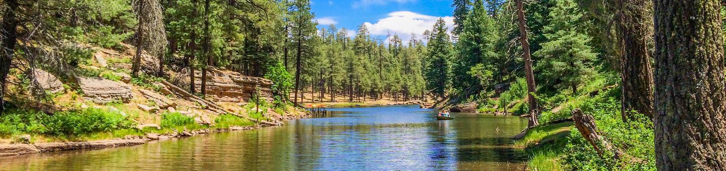
Apache-Sitgreaves National Forest
Usda Forest Service, Arizona.
Camping and Day Use
- Apache Trout Campground
- Aspen (AZ)
- Benny Creek Group Area
- Brookchar
- Black Canyon Rim Campground (Apache-Sitgreaves National Forest, AZ)
- Caldwell Cabin
- Canyon Point
- Crook Campground
- Cutthroat
- Gentry Group Campground
- Grayling
- Hoyer
- Lewis Canyon
- Luna Lake
- Mogollon Campground
- Rainbow (AZ)
- Rim Campground
- Sinkhole Campground
- Spillway (AZ)
- Winn
- Woods Canyon Lake
Activities and Experiences
Nearby Activities
- Biking
- Camping
- Fire Lookouts/Cabins Overnight
- Hiking
- Horse Camping
- Horseback Riding
- Off Highway Vehicle
- Picnicking
- Recreational Vehicles
- Wildlife Viewing
Directions
n/a