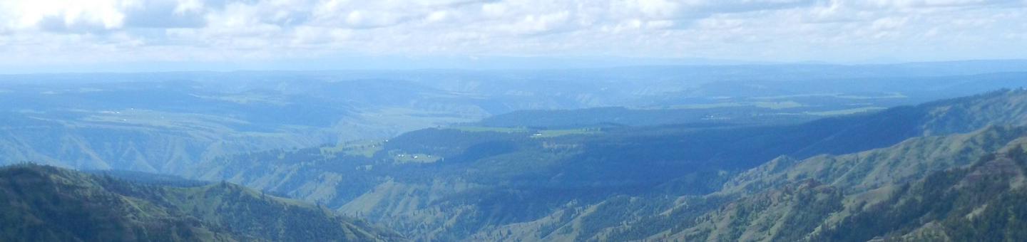
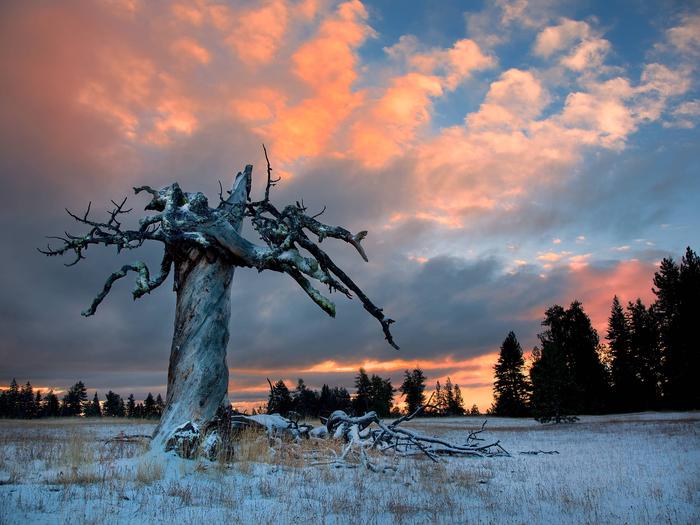
Umatilla National Forest
Usda Forest Service, Oregon.
Camping and Day Use
- Bull Prairie Campground (OR)
- Caretakers Cabin
- Clearwater Big House
- Clearwater Lookout Cabin
- Congo Gulch
- Ditch Creek Guard Station Cab
- Fry Meadows Guard Station
- Godman Guard Station
- Hilltop Hideaway - Umatilla Nf (OR)
- Jubilee Lake Campground (OR)
- Miners Retreat
- North Fork John Day Campground (OR)
- Olive Lake Campground (OR)
- Summit Guard Station Bunkhouse
- Tamarack Cabin
- Tucannon Guard Station
- Wenatchee Guard Station
Activities and Experiences
Nearby Activities
- Auto Touring
- Biking
- Boating
- Camping
- Fire Lookouts/Cabins Overnight
- Fishing
- Hiking
- Horse Camping
- Horseback Riding
- Off Highway Vehicle
- Picnicking
- Recreational Vehicles
- Swimming
- Wildlife Viewing
Directions
n/a