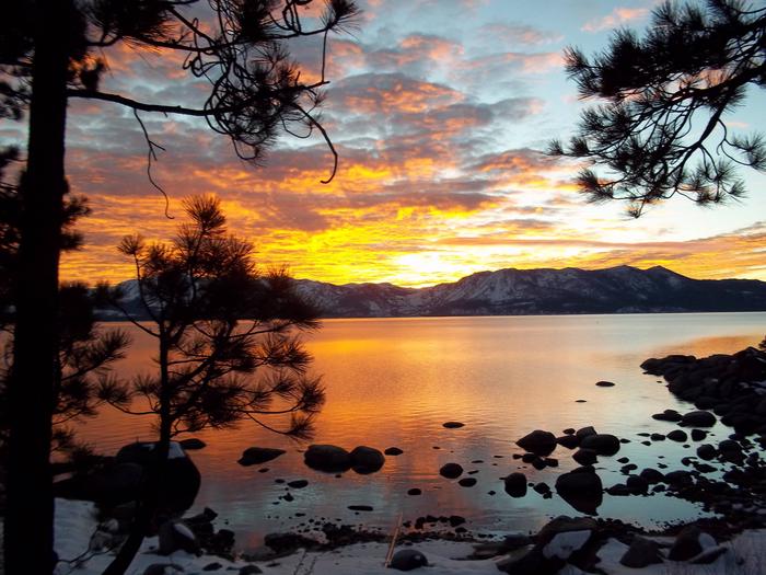
Eldorado National Forest
Usda Forest Service, California.
Camping and Day Use
- Big Silver Group
- Black Oak
- Bridal Veil Group Area And Picnic Ground
- Bear River Group Campground (Eldorado National Forest, CA)
- Capps Crossing
- Dru Barner Campground
- Fashoda
- Gerle Creek
- Harvey West Cabin
- Ice House
- Loon Lake
- Loon Lake Chalet
- Middle Meadows
- Northshore Campground - Loon Lake (CA)
- Pipi Campground
- Ponderosa Cove Campground
- Red Fir
- Robbs Hut
- Silver Creek Group Campground
- Silver Lake East- Eldorado
- Sly Guard Cabin
- South Shore Campground
- Stumpy Meadows
- Sunset-Union Valley
- South Fork Group - Eldorado Nf (CA)
- Van Vleck Bunkhouse
- Wench Creek
- Wolf Creek California
- Wrights Lake
- Wrights Lake Equestrian Campground
- West Point Campground
- Yellowjacket
Activities and Experiences
Nearby Activities
- Camping
Directions
n/a