Laguna Atascosa National Wildlife Refuge
Fish and Wildlife Service, Texas.
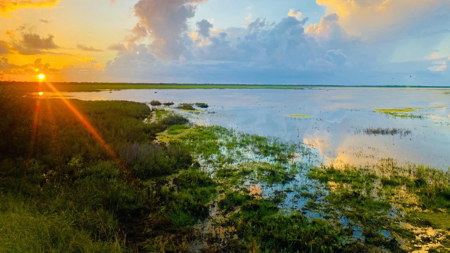
Laguna Atascosa National Wildlife Refuge was established in 1946 to provide habitat for wintering waterfowl and other migratory birds, principally redhead ducks. Today, there is an expanded emphasis that includes endangered species conservation and management for shorebirds. The refuge is a premiere bird-watching destination with more recorded species of birds than any other refuge in the National Wildlife Refuge System. The largest population of ocelots in the United States calls the refuge home, making it the center for conservation and recovery efforts for this endangered cat.
Laguna Atascosa National Wildlife Refuge encompasses more than 120,000 acres, a portion of which are open to the public for wildlife related activities like wildlife watching, hunting, fishing, photography and environmental education.
It is part of the National Wildlife Refuge System, a national network of lands and waters set aside for the benefit of wildlife and you.
Bahia Grande unit - In 2000, Laguna Atascosa National Wildlife Refuge acquired the 21,700 acre Bahia Grande Unit located between the towns of Laguna Vista and Brownsville, Texas. Almost half of the unit is wetlands, including the 6,500 acre Bahia Grande basin for which the tract of land was named.
South Padre Island unit - With the help of The Nature Conservancy, the Laguna Atascosa National Wildlife Refuge now includes a significant amount of habitat on South Padre Island. In 2000, The Nature Conservancy acquired 24,532 acres on the north end of South Padre Island, including more than eight miles of beachfront that were ultimately transferred to the refuge.
Nearby Activities
- Auto Touring
- Biking
- Birding
- Camping
- Environmental Education
- Fishing
- Hiking
- Hunting
- Interpretive Programs
- Motor Boat
- Non-Motorized Boating
- Paddling
- Photography
- Picnicking
- Visitor Center
- Wildlife Viewing
Directions
-From Harlingen, go east on Tyler Ave which becomes FM 106. Continue 18 miles past Rio Hondo. Take a left at the T and drive three miles to the visitor center. -From South Padre Island, take Highway 100 out of Port Isabel and exit right on FM 510 at Laguna Vista. Continue 5.4 miles to the Buena Vista Rd (Cameron County Airport). Take a right and continue approximately 7 miles to the visitor center. -From Brownsville, go north on Paredes Line Road (1847) through Los Fresnos to Highway 106. Take a right and go approximately 10 miles to the T. Take a left and drive 3 miles to the visitor center.