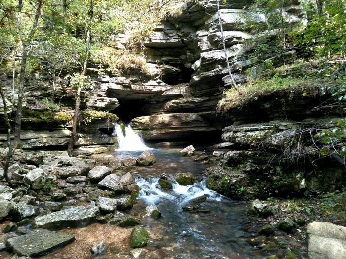
Ozark-St. Francis National Forests
Usda Forest Service, Arkansas.
Camping and Day Use
- Blanchard Springs Recreation Area
- Barkshed Campground
- Cove Lake Recreation Area
- Gunner Pool Campground
- Horsehead Lake Recreation Area
- Lake Wedington
- Long Pool Recreation Area
- Moccasin Gap
- Ozone Campground
- Redding Campground
- Richland Creek Campground
- Shores Lake Recreation Area
- Sorghum Hollow
- Spring Lake Recreation Area
- White Rock Mountain Recreation Area
- Wolf Pen Campground
Activities and Experiences
- Blanchard Springs Caverns
- Lake Wedington Recreation Area Day Use Pass
- Mill Creek Ohv Trail Day Use Pass
- Shores Lake Recreation Area Day Use Pass
Nearby Activities
- Auto Touring
- Biking
- Boating
- Camping
- Fire Lookouts/Cabins Overnight
- Fishing
- Hiking
- Horse Camping
- Horseback Riding
- Hunting
- Interpretive Programs
- Off Highway Vehicle
- Picnicking
- Recreational Vehicles
- Swimming
- Visitor Center
- Wildlife Viewing
Directions
n/a