Brazoria National Wildlife Refuge
Fish and Wildlife Service, Texas.
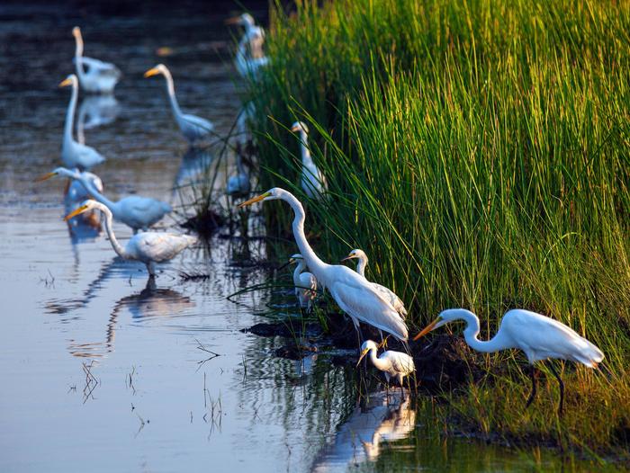
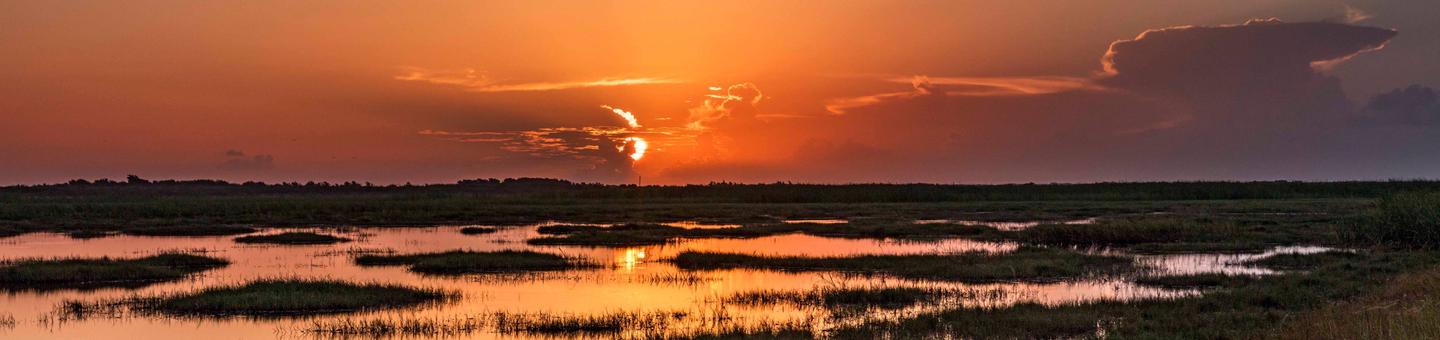
Established in 1966 to provide wintering habitat for migratory waterfowl and other migratory bird species, the refuge provides more than 45,000 acres of salt marsh and freshwater sloughs, impoundments and potholes among native coastal prairie uplands. Bastrop Bayou, Big Slough, Oyster Creek and Chocolate Bayou carry freshwater to the bays creating a mosaic of salt marsh, open water mudflats that are shaped by tidal inundation, changing salinity, sediment movements and desiccating winds. This harsh environment is the breeding grounds for fish and shellfish, which support large populations of shore, wading and waterbirds. Texas Mid-coast National Wildlife Refuge Complex is made up of Brazoria, San Bernard and Big Boggy National Wildlife Refuges. They were designated as Internationally Significant Shorebird Sites by the Western Hemisphere Shorebird Reserve Network.
On higher elevations, the saline marsh gives way to saline prairie where seasonal inundation with tidal waters requires salt-tolerant vegetation like gulf cordgrass and sea ox-eye daisy.
Coastal prairie dominates the non-saline soils providing habitat for mammals, reptiles as well as resident and migratory birds. Although much of the upland habitat had been utilized for rice farming and grazing prior to being added to the refuge, the natural ridge-swale topography can be found across Brazoria’s prairie. The swales create freshwater wetlands which add diversity and seasonal wetland food sources for waterfowl.
Nearby Activities
- Auto Touring
- Biking
- Birding
- Boating
- Fishing
- Hiking
- Hunting
- Interpretive Programs
- Motor Boat
- Non-Motorized Boating
- Photography
- Picnicking
- Wildlife Viewing
Directions
From the intersection of SH 288 and FM 2004 in Lake Jackson, take FM 2004 southeast for 7 miles. Turn right on CR 223 for 5.3 miles to FM 523. Turn right on FM 523 and go 3.4 miles to CR 227. Turn left on CR 227 and proceed 1.7 miles to the refuge entrance. Make a right at the entrance to Fleetwood Lane for 3 miles to the refuge. The address of the automatic gate is 2022 County Road 227, Freeport, Texas, 77541 then three miles down the road to the visitor center. The entrance gate automatically opens at sunrise and locks at sunset.
The refuge office is located 13 miles northeast of the intersection of SH 288 and FM 2004 on FM 2004.
From the intersection of SH 288 and FM 2004 in Lake Jackson, take FM 2004 southeast for 7 miles. Turn right on CR 223 for 5.3 miles to FM 523. Turn right on FM 523 and go 5.4 miles to Levee Road. Turn left and go 1.0 miles to the entrance on the right.