Deep Fork National Wildlife Refuge
Fish and Wildlife Service, Oklahoma.
Deep Fork National Wildlife Refuge was created in 1992, under authorities of the Emergency Wetlands Resources Act of 1986 and the Migratory Bird Conservation Act of 1929, to protect and enhance the valuable freshwater wetlands and wildlife habitats along the Deep Fork River. Land acquisition began in June 1993, with the purchase of 4,681 acres using Land and Water Conservation funds appropriated by Congress. As of July 1, 2021, the Refuge contains 10,178 acres. When land acquisition is complete the refuge will include 18,228 acres.
The Deep Fork River bottoms were likely hunted by Native Americans for hundreds of years. Between 1550 and 1800, European explorers documented tribal groups throughout the Southern Plains and eastern Oklahoma, including the Wichita, Caddo, and Osage. By 1800, the Osage had driven most of the other native groups of eastern Oklahoma out of the area.
By the early 1800s, Native Americans in the eastern United States were faring poorly. They were viewed as savages and obstacles to continued settlement and development. Congress mandated the removal of eastern Native Americans to the West. Oklahoma was designated “Indian Territory”. In 1820, a treaty gave an area of land in central Oklahoma to the Creek Nation of Alabama and Georgia. The new Creek Territory encompassed all of the lands now contained within the designated boundary of the Deep Fork National Wildlife Refuge.
The resources of the Deep Fork River bottomlands were essential for the Creeks survival. They bartered pelts for merchandise at stores in the village of Okmulgee. Streams provided fish for the Creeks’ diet. Okmulgee was founded by the Creek Nation in 1868 to serve as its capital. The town remained a small trading center until the 1900s.
The sovereignty of the Creek Nation ended in 1899 when the Creeks voted to accept U.S. government jurisdiction. Under the resulting treaty, each adult was awarded an allotment of 160 acres of land. Deep Fork Refuge lands were among those included in the original Creek allotments. Creek Nation sovereignty was gradually restored beginning in 1936 with the Oklahoma Indian Welfare Act.
In 1900, the town of Okmulgee was incorporated and railroad service started. The completion of the railroad in 1900 and the discoveries of oil near Okmulgee and coal in the southern part of the county ushered in a period of phenomenal growth that rapidly altered the face of the county. The height of the oil boom occurred from 1918 to 1920 when production in county oil fields reached 45,000 barrels a day. Many wells were located in the Deep Fork bottomlands. By 1920, the City of Okmulgee had grown to 17,340 residents. During its heyday, Okmulgee was reported to have more millionaires than any other city of comparable size in the world.
Petroleum reserves were soon depleted and production in the oil fields slowly dwindled. By 1935, production had fallen to roughly 5,000 barrels per day. The end of the oil boom signaled the beginning of a serious economic decline for the Okmulgee County area. Industry in particular was significantly affected as refineries, coal mines, and related industries gradually closed.
The number of farms and ranches increased and soon almost half of the Okmulgee County population lived on farms. Pecans and cotton were the major cash crops. Native pecans were abundant along river and stream floodplains throughout the county. Pecan orchards were established by clearing oaks and other trees and brush from the bottoms to create optimal condition for growth and harvest of the nuts. Pecan groves are still scattered throughout the Deep Fork bottomlands both within and outside the defined refuge boundary.
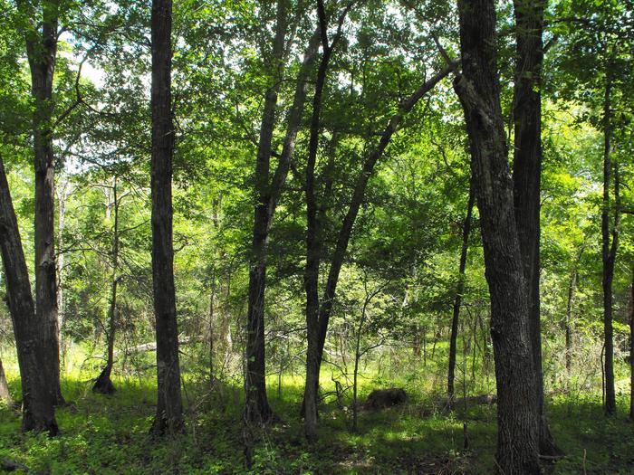
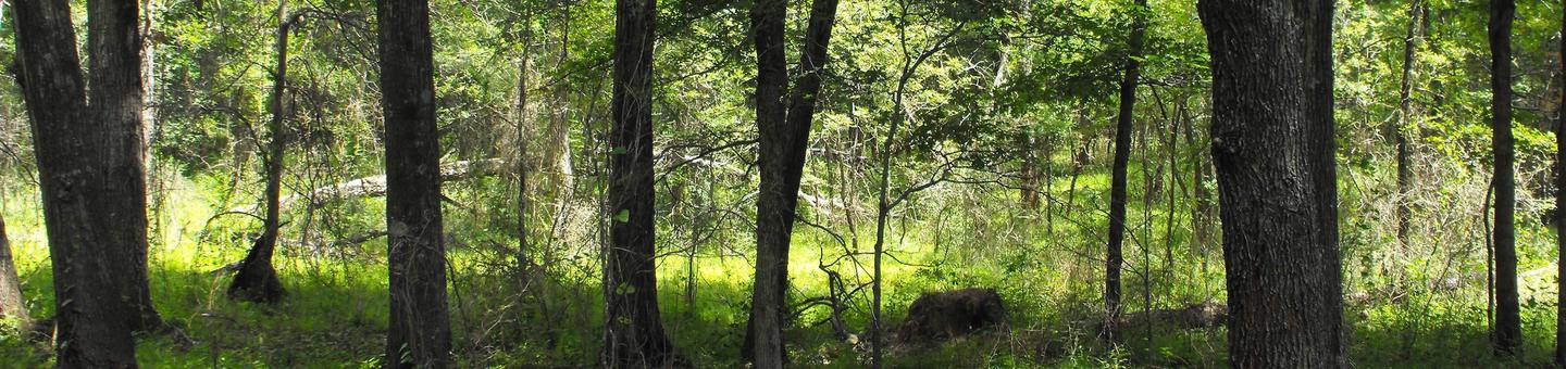
Most of the timber in the Deep Fork bottomlands was removed after the arrival of settlers. In addition to pecan production, the forest was logged for timber, cut for firewood, and cleared for grazing. Most of the timber left on the Refuge is second growth timber, roughly 50-60 years old. Some of the inaccessible tracts are older but there are few trees greater than 100 years old.
Nearby Activities
- Archery
- Birding
- Boating
- Fishing
- Hiking
- Hunting
- Photography
- Wildlife Viewing
Directions
The refuge is located approximately thirty five miles south of Tulsa. Travel on Highway 75 south of Okmulgee approximately six miles to Lavender Road. Turn left onto Lavender Road and follow it until it dead ends (about two miles). Turn left and follow 250 Road approximately two miles. The Refuge Headquarters Building, Cussetah Bottoms Boardwalk, and ample parking will be located on your right.