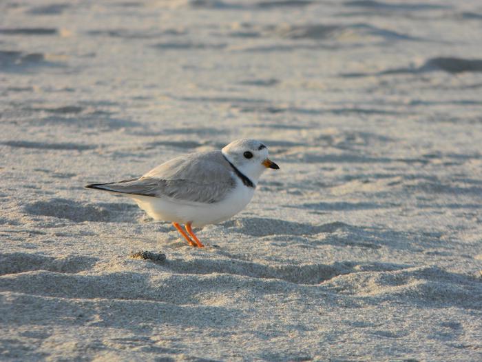
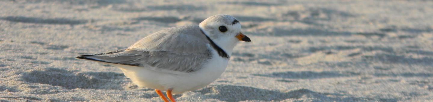
Rachel Carson National Wildlife Refuge
Fish and Wildlife Service, Maine.
Rachel Carson National Wildlife Refuge was established to preserve migratory bird habitat and waterfowl migration routes associated with southern Maine's coastal estuaries. In the mid -1800s, the estuarine habitats teemed with wildlife. The fishing industry supported many people, and commercial hunters made their living from the wildlife that frequented the marshes. Spurred by the arrival of the railroad in 1842, recreational use of the Maine coast increased in the 19th and 20th centuries. Thousands of visitors came by train, trolley, and later; automobile. Seasonal and vacation homes built on the edge of the salt marsh quickly followed. By the 1950s and early 1960s, land was at a premium for prospective landowners and individuals and groups interested in protecting nature resources.
On December 16, 1966, Congress established the Coastal Maine National Wildlife Refuge under the authority of the Migratory Bird Conservation Act. In a formal dedication ceremony on June 27, 1970, the refuge was renamed in honor of the scientist and author Rachel Carson, who spent much of her life along the Maine coast. During the mid-1970s, the refuge acquired 4,000 acres, and has expanded its boundary several times over the years to protect coastal salt marshes from encroaching development, and thereby protecting vital wildlife habitat. The refuge now stretches 50 miles along the coast, and shares more than 5,000 acres with the municipalities of Cape Elizabeth, Scarborough, Old Orchard Beach, Saco, Biddeford, Kennebunkport, Kennebunk, Wells, Ogunquit, York, and Kittery.
Nearby Activities
- Birding
- Fishing
- Hiking
- Hunting
- Interpretive Programs
- Wildlife Viewing
Directions
FROM MAINE TURNPIKE EXIT #2 (WELLS EXIT): At Exit #19, travel east on Route #109 / #9 to Wells. Turn left (north) onto Route #1. Proceed approximately 1.5 miles (2.4 kilometers) and turn right (east) onto Route #9. Travel 0.7 miles (1.1 km); the Refuge will be on your right. Look for the large wooden sign at our entrance. FROM ROUTE #1 NORTH: From points north of Wells on Route #1: Proceed south on Route #1 through Kennebunk. Approximately 3.0 miles (4.8 km) south of Kennebunk, turn left (east) onto Route #9. Proceed as above. FROM ROUTE #1 SOUTH: From points south of Wells on Route #1: Proceed north on Route #1 through Wells. Turn right (east) onto Route #9 (approximately 1.5 miles (2.4 km) north of Wells Center). Proceed as above. FROM KENNEBUNKPORT: Travel west on Route #9. Approximately 5 miles (8.1 km) from Kennebunkport Center, look for the large wooden sign at our entrance on the left.