Gunnison Gorge National Conservation Area
Bureau of Land Management, Colorado.
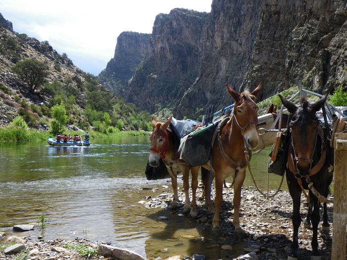
Just north of Montrose in west-central Colorado lies the Gunnison Gorge National Conservation Area (NCA), a diverse landscape ranging from adobe badlands to rugged pinyon and juniper-covered slopes. At the heart of the NCA, the Gunnison Gorge Wilderness Area encompasses a spectacular black granite and red sandstone double canyon formed by the Gunnison River. The NCA consists of 62,844 acres of public land managed by the BLM Uncompahgre Field Office under the 2004 Gunnison Gorge National Conservation Area Resource Management Plan (9.2MB download). Initially designated through the Black Canyon of the Gunnison National Park and Gunnison Gorge National Conservation Area Act of 1999 (Public Law 106-76), the Black Canyon of the Gunnison Boundary Revision Act of 2003 (Public Law 108-128) expanded the NCA from 57,725 acres to its current size of 62,844 acres. The Gunnison Gorge National Conservation Area encompasses Gunnison Gorge Wilderness, Flat Top-Peach Valley, and Gunnison River Recreation Area. The river cuts a wide path through the breathtaking sandstone and black granite canyon. The area, known for its exceptional and challenging whitewater boating, also features world class gold medal trout waters. The upland desert landscape of the Flat Top-Peach Valley area provide outstanding off-highway vehicle riding for enthusiasts. For more information, click here: Gunnison Gorge National Conservation Area .
Activities and Experiences
Nearby Activities
- Auto Touring
- Biking
- Boating
- Camping
- Day Use Area
- Environmental Education
- Fishing
- Hiking
- Historic & Cultural Site
- Horseback Riding
- Hunting
- Mountain Biking
- Off Highway Vehicle
- Paddle Boating
- Paddling
- Photography
- Picnicking
- Swimming
- Water Activities
- Water Sports
- Wilderness
- Wildlife Viewing
Directions
Refer to the BLM website and map links above to identify appropriate routes to the area you wish to visit.