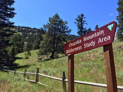
Chopaka Lake and Chopaka Mountain Wilderness Study Area
Bureau of Land Management, Washington.
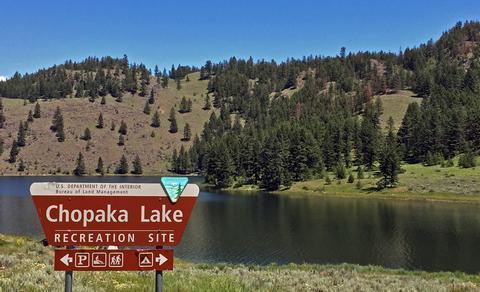
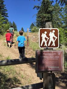
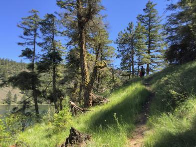
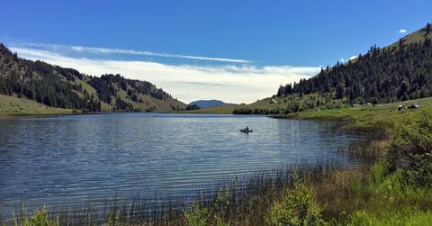
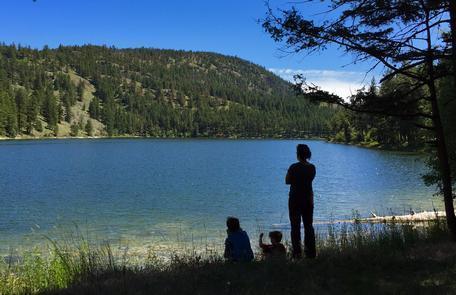
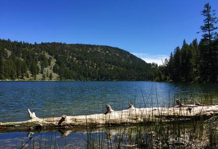
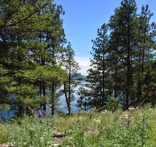
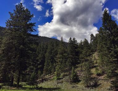
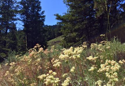
Hidden deep within the highlands of northern Okanogan County, visitors will discover a jewel of a mountain lake. Aspen tree groves and sagebrush line the shores, providing a scenic backdrop to many lakeside activities. Mountain goats are often seen high on the surrounding mountain sides. Try your luck fly fishing for trout or take a peaceful hike in the 5,518-acre Chopaka Mountain Wilderness Study Area (WSA). The WSA is accessed by non-motorized trails through the Chopaka Lake campground.
Know Before You Go:
- Chopaka Lake is open YEAR ROUND, but due to snow conditions, road access is limited during the winter. Drive in access is available from approximately mid-April to mid-November.
- Motorized vehicles and mechanized transport (including bicycles) are not allowed in the WSA.
- Hike or boat-in camping is allowed in the WSA, but there are no developed campsites.
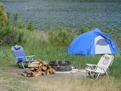
- The BLM Chopaka Lake campground has eight campsites with fire rings and a vault toilet.
- Cellular phone coverage may be limited.
Point of Interest:
Remote Chopaka Lake and its surrounding hillsides are excellent places for viewing wildlife. Catch a glimpse of bald and golden eagles, peregrine falcons, bighorn sheep, black bear, mule deer, moose and mountain goats.Nearby Activities
- Biking
- Boating
- Camping
- Climbing
- Day Use Area
- Fishing
- Hiking
- Paddling
- Photography
- Picnicking
- Swimming
- Wilderness
- Wildlife Viewing
Directions
From Highway 97 at Tonasket, take the Loomis-Oroville Highway west through Loomis. Two miles past Loomis, turn left onto the Chopaka Mountain Road. Keep to the right and drive the steep grade up the mountain. After 3.5 miles, take the road to the right for two more miles to reach Chopaka Lake. The BLM camping area is north of the Washington State Department of Natural Resources campground.
