Pictured Rocks National Lakeshore
National Park Service, Michigan.
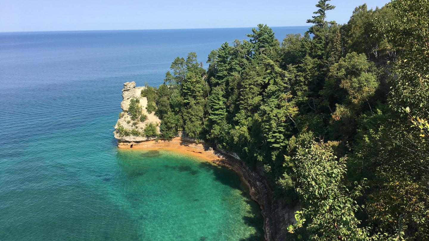
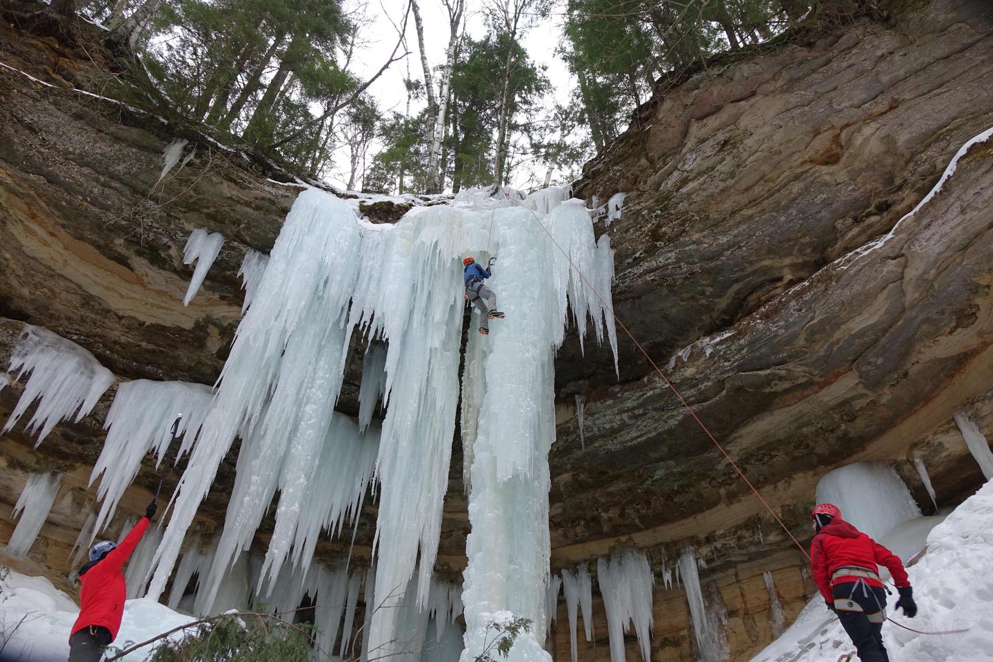
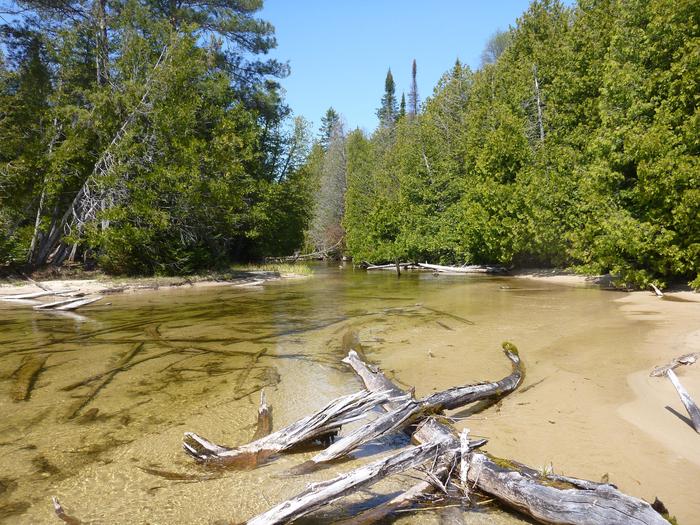
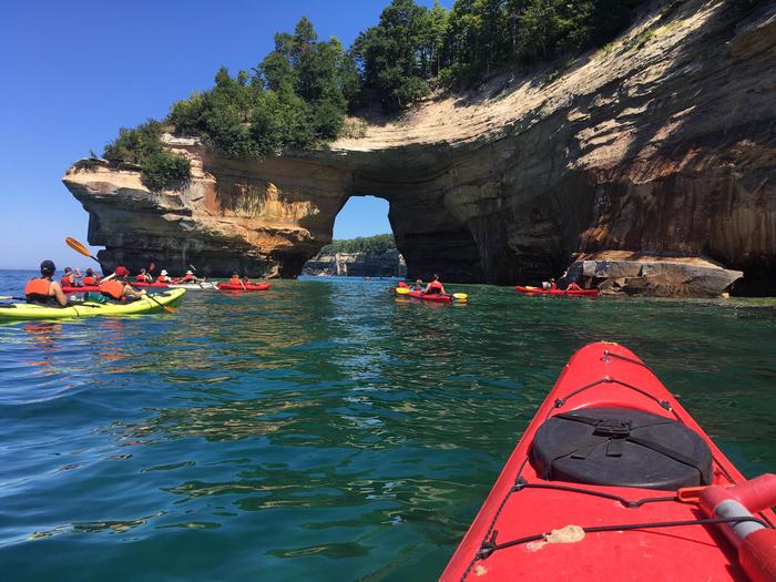
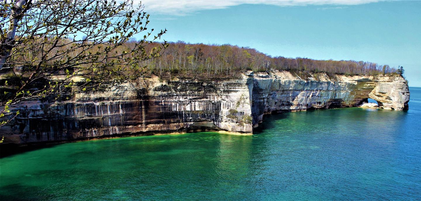
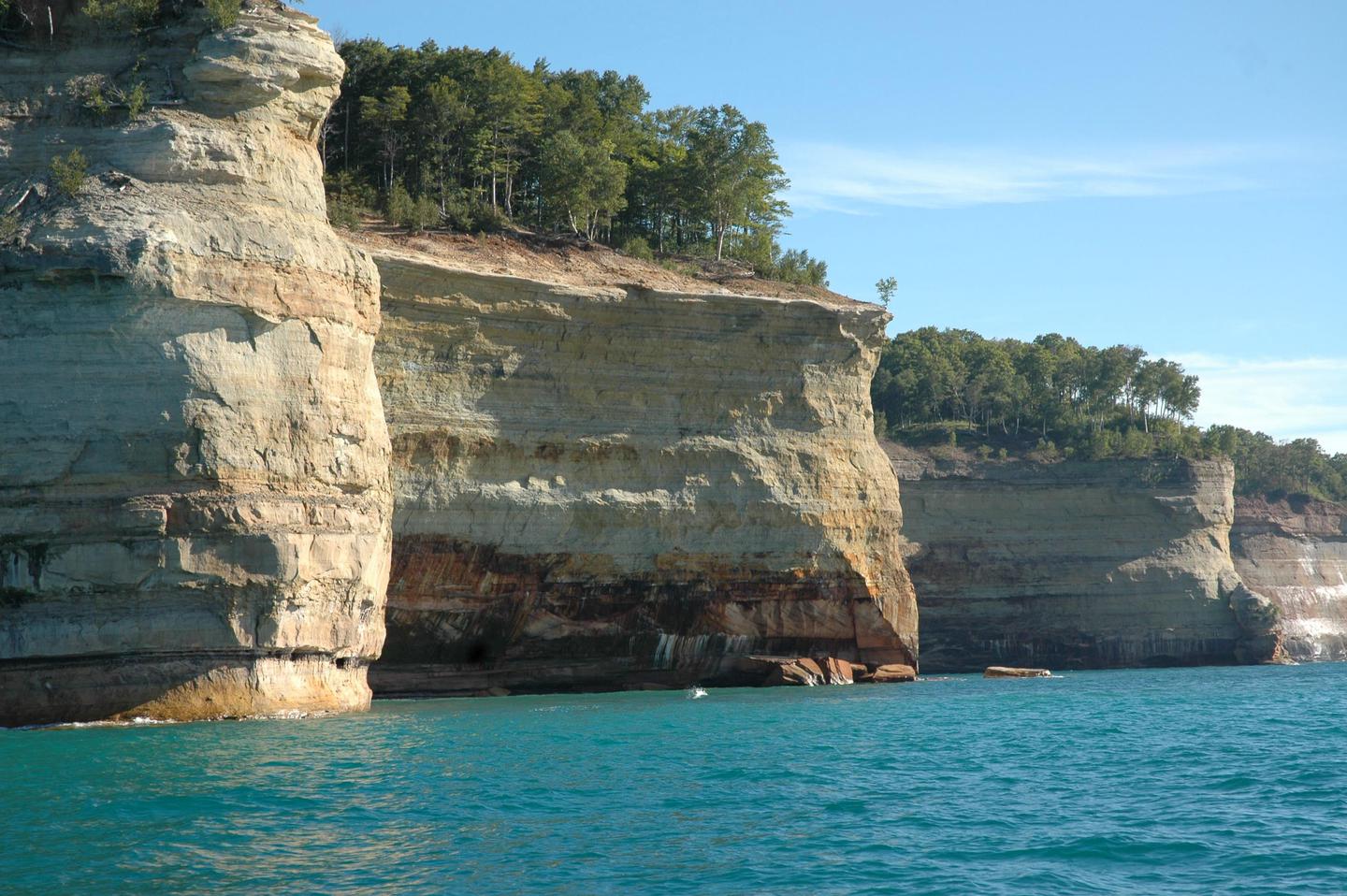
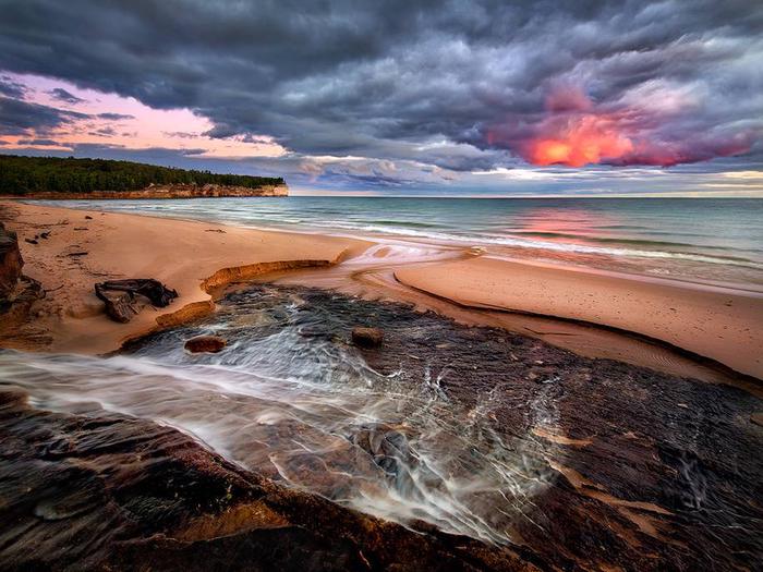
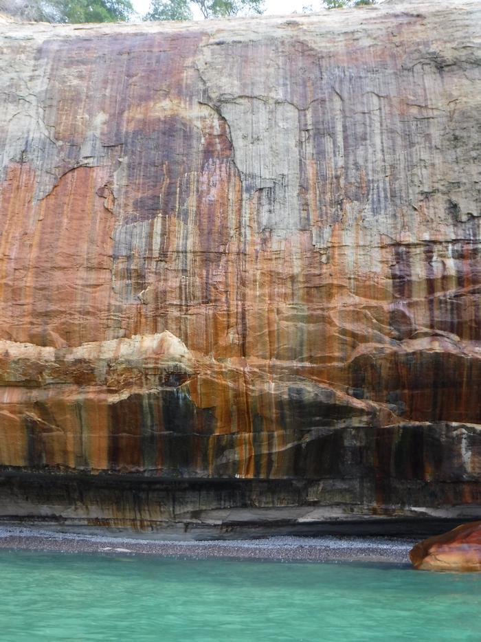
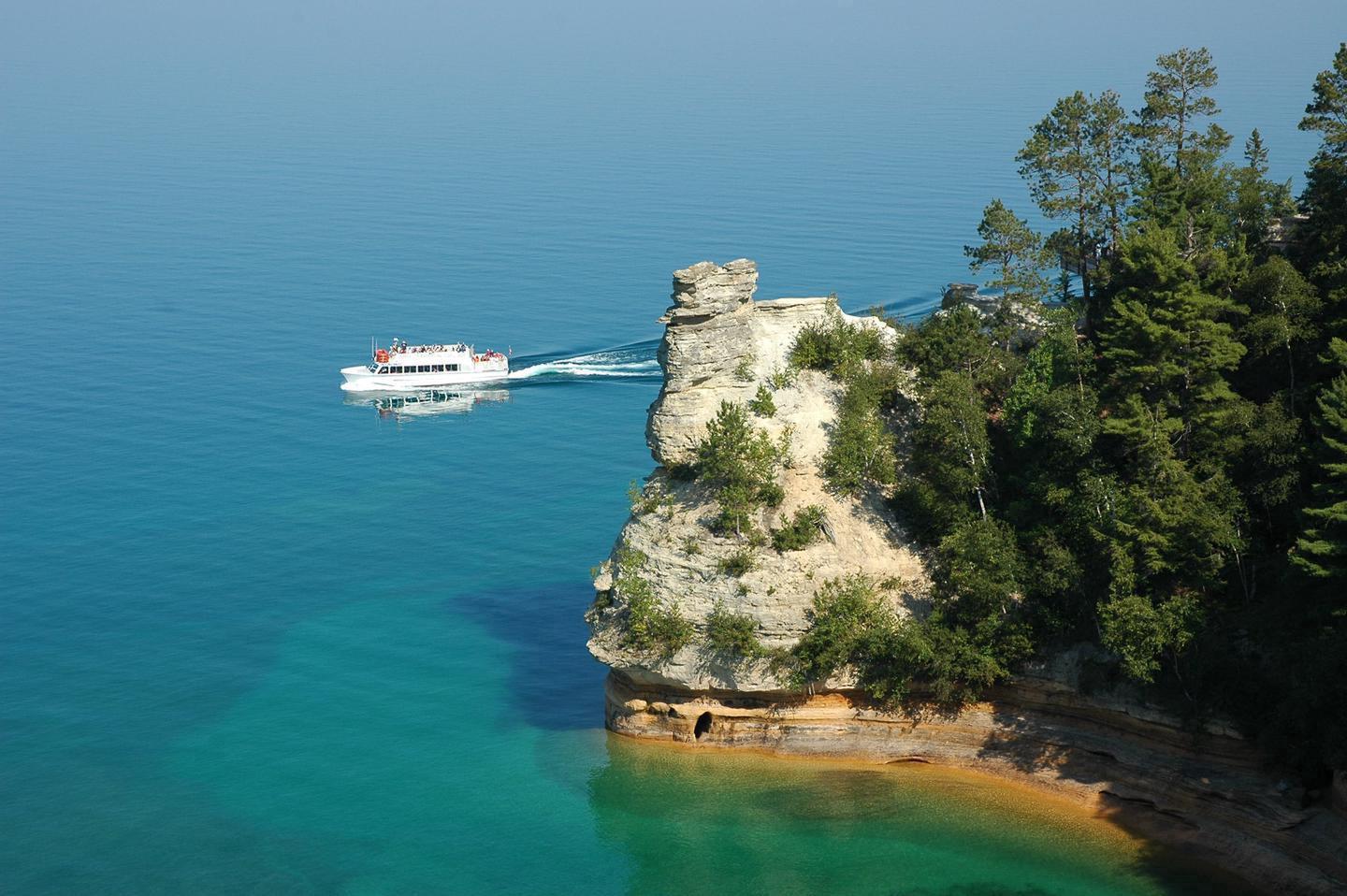
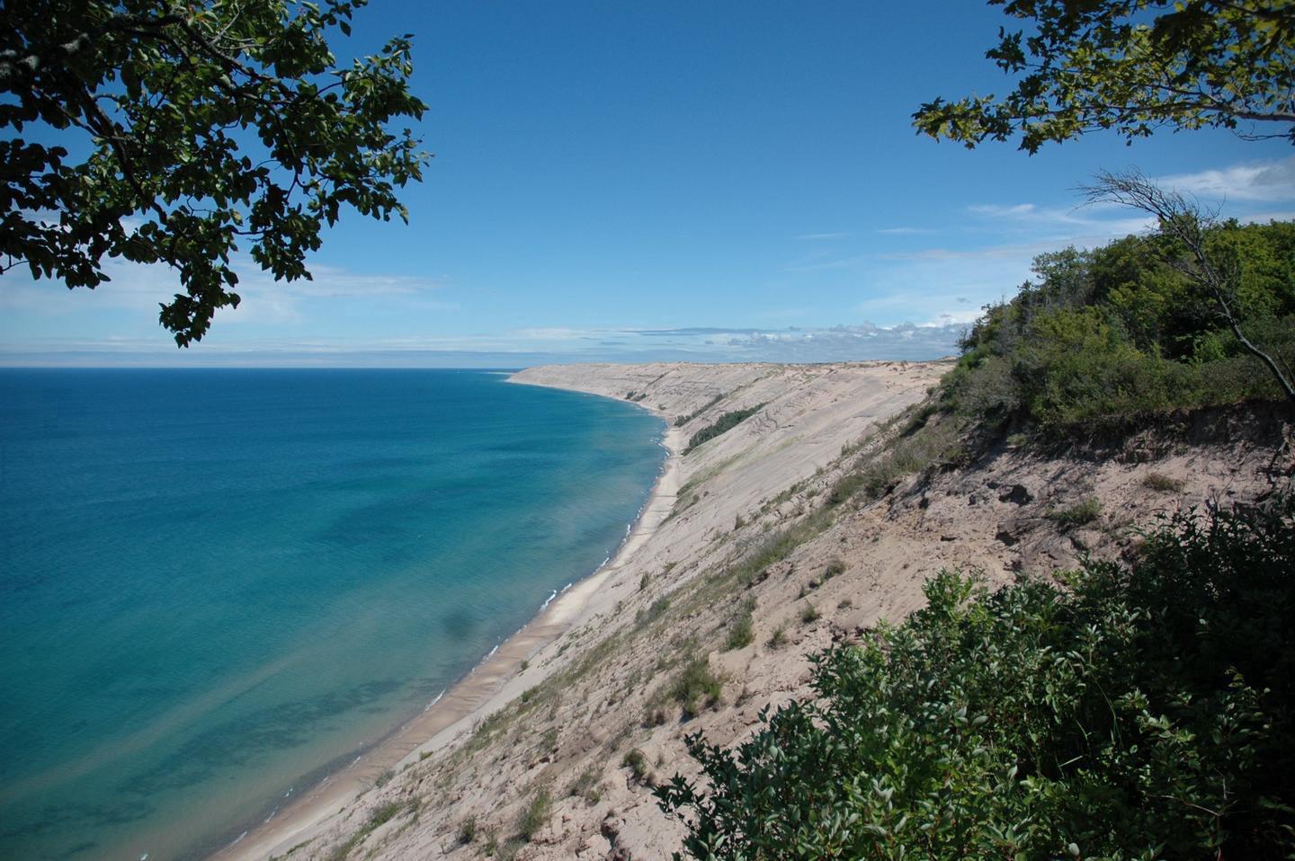
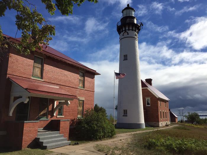
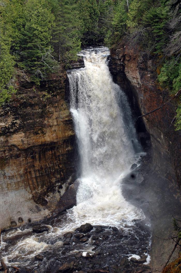
Sandstone cliffs, beaches, waterfalls, sand dunes, inland lakes, deep forest, and wild shoreline beckon you to visit Pictured Rocks National Lakeshore. The power of Lake Superior shapes the park's coastal features and affects every ecosystem, creating a unique landscape to explore. Hiking, camping, sightseeing, and four-season outdoor opportunities abound.
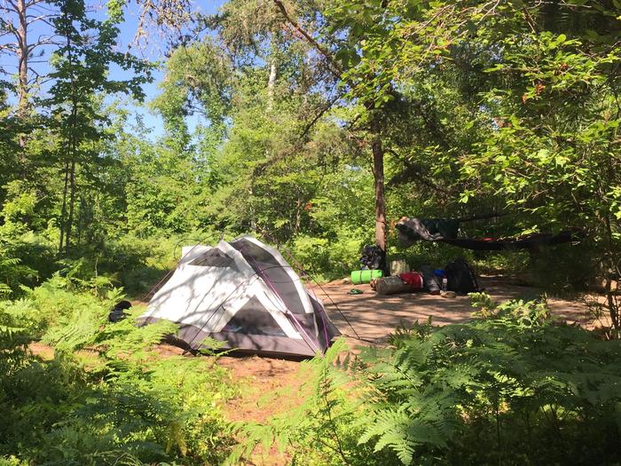
Camping and Day Use
- Hurricane River Campground
- Little Beaver Campground
- Pictured Rocks National Lakeshore Backcountry Camping Permit
- Twelvemile Beach Campground
Site Passes
Nearby Activities
- Auto Touring
- Biking
- Boating
- Camping
- Climbing
- Diving
- Fishing
- Hiking
- Hunting
- Paddling
- Swimming
- Wildlife Viewing
Directions
Pictured Rocks NL is located on the south shore of Lake Superior in Michigan's Upper Peninsula, between the towns of Munising (west) and Grand Marais (east). Access the west side of the park via Michigan highways M-28 and M-94 to Munising. State highway M-77 leads to Grand Marais on the east side. Alger County Road H-58 runs parallel and through the park, providing access to spur roads that lead to scenic overlooks, trailheads, campgrounds, beaches, etc. Many roads are closed in winter due to snow.