Lower White River Wilderness
Bureau of Land Management, Oregon.
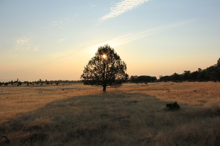
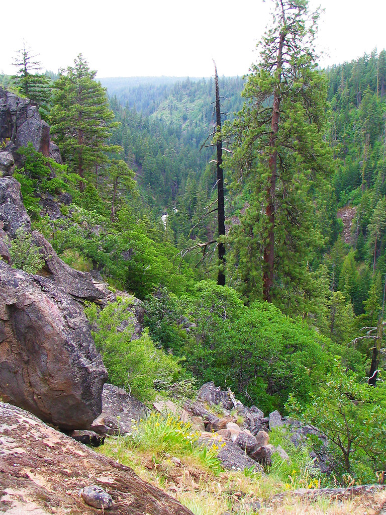
The United States Congress designated the Lower White River Wilderness in 2009 and it now has a total of 2,806 acres. All of this wilderness is located in Oregon and is managed by the Bureau of Land Management (BLM) and the U.S. Forest Service. The White River rises in the high Cascades in western Wasco County, in the Mount Hood National Forest on the southeast flank of Mount Hood. The headwaters are just below White River Glacier in White River Canyon. Additions to the Mount Hood Wilderness protect upper portions of the river, while the Lower White River Wilderness, southeast of the majestic Mount Hood Wilderness and east of Highway 26, protect a segment of lower White River stretch. Be sure to contact the BLM's Prineville District or the Mt. Hood National Forest for the latest conditions and access to the spectacular Lower White River Wilderness Area!
- Plan Ahead and Leave No Trace principles:
- Travel and Camp on Durable Surfaces
- Dispose of Waste Properly
- Leave What You Find
- Minimize Campfire Impacts
- Respect Wildlife
- Be Considerate of Other Visitors
Regulations:
Motorized equipment and equipment used for mechanical transport are generally prohibited on all federal lands designated as wilderness. This includes the use of motor vehicles (including OHVs), motorboats, motorized equipment, bicycles, hang gliders, wagons, carts, portage wheels, and the landing of aircraft including helicopters, unless provided for in specific legislation. In a few areas some exceptions allowing the use of motorized equipment or mechanical transport are described in the special regulations in effect for a specific area. Contact the agency for more information about regulations.
Know Before You Go
Visitors can help in protecting this fragile ecosystem by adequately planning and by arriving prepared! Knowledge of the area, weather, terrain, and common sense can help to ensure you have safe, fun, and memorable trip to the wild. Trail junctions are generally unsigned, so you should carry a map and a compass. And always be sure to bring your ten essentials!
Nearby Activities
- Hiking
- Wilderness
Directions
The Lower White River rises in the high Cascades in western Wasco County, in the Mount Hood National Forest on the southeast side of Mount Hood. The headwaters are just below White River Glacier in White River Canyon.
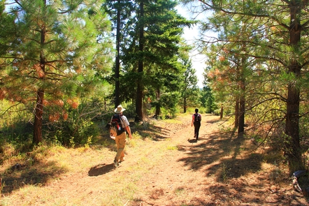
Mount Hood Wilderness protects upper portions of the river, while the 2,809-acre Lower White River Wilderness, southeast of the Mount Hood Wilderness and east of highway 26, provides a buffer for a lower segment of the river. There are no maintained trails within Lower White River Wilderness but the Keeps Mill Campground is located just west of the Lower White River Wilderness.
From Dufur, OR follow US-197 south to OR-216 W travel past the forest boundary and through a small section of the Warm Springs Indian Reservation to Forest Road 2120. Follow 2120 north to the Keeps Mill Campground is located along the Wild and Scenic White River just west of the Lower White River Wilderness boundary.
A Rock Creek Reservoir, Post Point map is available for download from the U.S. Forest Service topo maps site.
Additional Information
- Lower White River Wilderness.
- White River Wildlife Area - Oregon Department of Fish and Wildlife
- Photo Album - Lower White River Wilderness
- Mt. Hood from the Lower White River Wilderness.