Lacassine National Wildlife Refuge
Fish and Wildlife Service, Louisiana.
Created in 1937, Lacassine National Wildlife Refuge was the 123rd refuge established within the National Wildlife Refuge System. It is located at the edge of Grand Lake and 15 miles from the Gulf of Mexico in Cameron and Evangeline Parishes in Louisiana (Figure 2). The refuge is strategically located on the boundary of coastal marsh and agricultural habitats, as well as at the southern terminus of the Mississippi and Central Flyways, making the refuge critically important to migratory birds, especially wintering waterfowl.
Most of the 34,724-acre refuge consists of freshwater marsh with only a few natural ridges and levees. The dominant feature of the refuge is Lacassine Pool, created by enclosing a 16,000-acre marsh with a low levee. The refuge is bisected from east to west by the Gulf Intracoastal Waterway and north to south by Lacassine Bayou. Habitat types and approximate acreage on the refuge include: 14,700 acres of fresh marsh; 16,000 acres of impounded fresh marsh; 1,048 acres of open water; 352 acres of forested wetlands; 348 acres of shrub wetlands; 1,109 acres of croplands (e.g., rice and fallow); 307 acres of managed fresh marsh (e.g., moist-soil plant impoundments); and 334 acres of coastal prairie plus roads, levees, etc. About 3,300 acres south of the Gulf Intracoastal
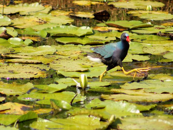
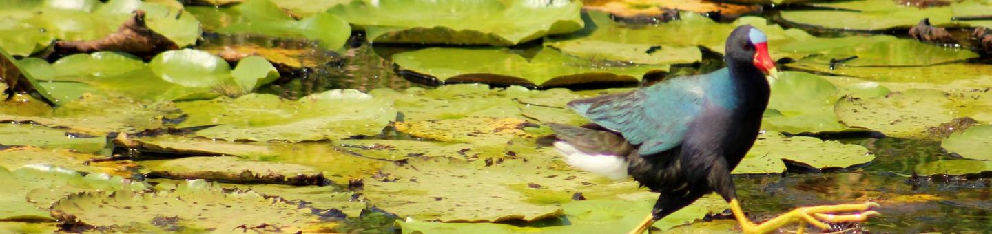
Waterway are set aside with wilderness designation. The vegetative types occurring on the refuge are primarily water-tolerant grasses, sedges, and shrubs. The types vary according to the frequency, depth, and length of time water covers the area. Vegetation in the unmanaged marshes is predominantly Bulltongue (Sagittaria lancifolia). Vegetation in Lacassine Pool consists primarily of Bulltongue, maidencane (Pancium hemitomon), watershield (Brasenia schreberi), waterlily (Nymphaea sp.), Spikerush (Eleocharis sp.), and southern bulrush (Scirpus sp.). Lacassine Refuge provides valuable habitat for resident and migratory birds (e.g., ducks, geese, shorebirds, neotropical migratory birds, and wading birds), mammals (e.g., rabbits, armadillos, bobcats, coyotes, foxes, and raccoons), rodents, reptiles (e.g., snakes, turtles, lizards, and alligators), and other wildlife. Lacassine Pool serves as a sanctuary for wintering waterfowl with a large concentration of birds using the area to feed or rest. Large wintering concentrations of white-fronted and snow geese can be found here, along with predominately puddle ducks, such as pintails, blue and green-winged teals, mallards, gadwalls, shovelers, and American widgeons. Smaller concentrations of diving ducks, and Canada and Ross’ geese also utilize the refuge.
Refuge habitat is managed for use by all native wildlife, with special emphasis on waterfowl. Because of this management emphasis, an outstanding recreational fisheries resource was developed. Management techniques used at Lacassine Refuge include prescribed burning, managing for early successional wetland and emergent aquatic wetland plants, planting food crops (e.g., predominately rice), and water level manipulation. Approximately 2,129 acres are managed for early successional wetland (e.g., moist-soil) plants and agricultural crops to provide desirable waterfowl food. The refuge also uses several management techniques to provide suitable conditions for waterfowl within Lacassine Pool.
Nearby Activities
- Auto Touring
- Boating
- Fishing
- Hiking
- Hunting
- Interpretive Programs
- Paddling
- Photography
- Wildlife Viewing
Directions
The office/visitor contact center for Lacassine NWR is located at 209 Nature Road, Lake Arthur, LA 70549 and is open weekdays from 7:00 a.m. to 3:30 p.m. If traveling west on Interstate 10, take exit 64 (Jennings)and travel south on Highway 26 to Lake Arthur, west on Highway 14 for 7 miles to Highway 3056, then south 4.5 miles. If eastbound on Interstate 10, take exit 54 (Welsh) and travel south on Highway 99 to Highway 14, east on Highway 14 for 3 miles to Highway 3056, then south 4.5 miles to the end of Highway 3056. Lacassine Pool, a 16,000 acre freshwater impoundment and major feature of the refuge, is at the end of Illionis Plant Road, 4.5 mile south of Highway 14. 3 miles east of Hayes.