Sachuest Point National Wildlife Refuge
Fish and Wildlife Service, Rhode Island.
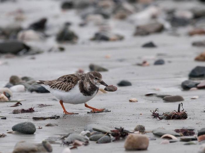
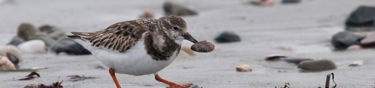
This refuge is one of five national wildlife refuges in Rhode Island. About 200 million years ago, when the supercontinent Pangaea split, Africa left traces of itself along the shores of Sachuest Point creating the Price Neck Formation. From the mid-1600’s to the early 1900’s, Sachuest Point was used for farming and sheep grazing. During World War II, the U.S. Navy used this site for a rifle range and communications center. In 1970, a 70 acre donation from the Audubon Society of Rhode Island led to the establishment of Sachuest Point National Wildlife Refuge. Today, with the land transfers from the Navy, the Refuge totals 242 acres that provide an important stopover and wintering area for migratory birds.
Nearby Activities
- Educational Programs
- Fishing
- Hiking
- Hunting
- Interpretive Programs
- Photography
- Visitor Center
- Wildlife Viewing
Directions
The refuge is located in Middletown, Rhode Island. Take route 1 South to route 138 East, over the Newport Bridge. Take the Newport exit and pass through downtown Newport on route 138A. Once through the downtown, you will pass First (or Newport) beach. Just past First beach, take a right onto Purgatory Road. Take a right onto Sachuest Point Drive and follow to the end, which will bring you directly into the Sachuest Point National Wildlife Refuge parking lot.