Wapanocca National Wildlife Refuge
Fish and Wildlife Service, Arkansas.
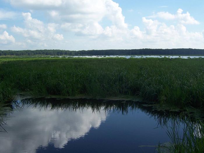
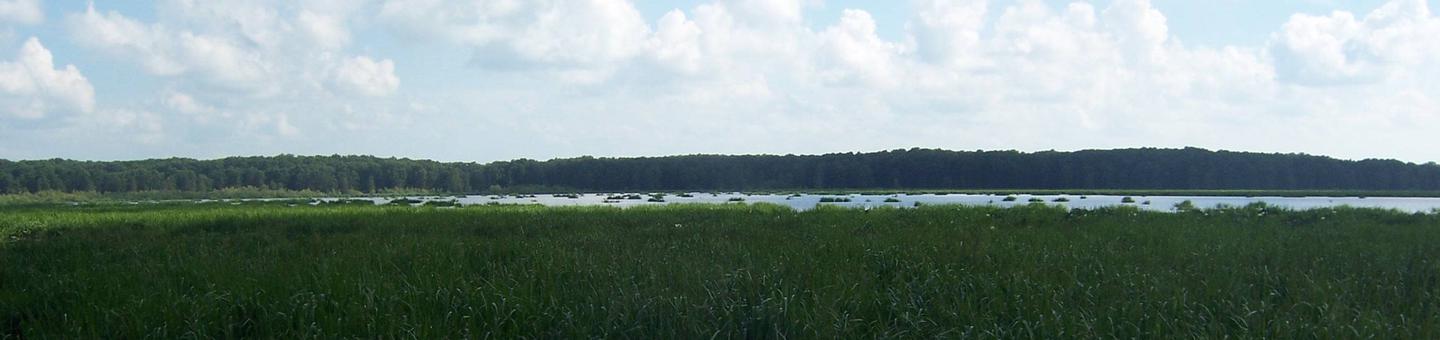
Wapanocca NWR located 20 miles northwest of Memphis, Tennessee, in Crittenden County, Arkansas was established in 1961 to provided habitat for migrating and wintering waterfowl. The refuge is located four miles west of the Mississippi River and protected from the river by the river levee. Prior to establishment of the refuge, it was the site of the Wapanocca Outing Club which was formed in 1886. This was one of the oldest and most prestigious hunting clubs. The club managed for waterfowl and most of the lake was set aside as a waterfowl sanctuary. Today the refuge literally stands as a wildlife oasis in an agricultural sea. An excellent diversity of habitat exists comprised on mainly agricultural land, bottomland hardwood forest, early stage reforested hardwoods, open water and flooded cypress/willow swamp. Thirty small field impoundments totaling 190 acres have been developed for waterfowl in the agricultural area. Because of its strategic location in the heart of the Mississippi Flyway and the diverse habitat, the refuge is a prime wintering area for migratory waterfowl and a major stopping place for migrating warblers. Bald eagles, great blue herons, great egrets and anhingas nest on the refuge. Due to loss of the major water source for the 600 acre Wapanocca Lake, fisheries has declined from historical levels, but the lake is still a major attraction for waterfowl to this area.
Nearby Activities
- Auto Touring
- Boating
- Fishing
- Hunting
- Interpretive Programs
- Visitor Center
- Wildlife Viewing
Directions
From I-55 heading south, turn off at exit #23 (Turrell exit), travel southeast on Highway 77 two miles, turn east on Highway 42, go under the railroad overpass and turn right at the top of the hill (refuge entrance). From I-55 heading north, turn off at exit 21 (Highway 42), travel east 1 э miles on Highway 42, cross Highway 77, go under the railroad overpass and turn right at the top of the hill (refuge entrance).