Quivira National Wildlife Refuge
Fish and Wildlife Service, Kansas.
Located in south central Kansas, Quivira National Wildlife Refuge lies in the transition zone of eastern and western prairies. In 1955, the Migratory Bird Commission approved the purchase of land to create the Refuge, and by 1998 the last of the Refuge's 22,135 acres had been purchased. The name "Quivira" is of Spanish origin, given to the region by the Spanish explorer, Coronado, who visited the area in 1541. Instead of gold, treasures and the fabled "Seven Cities of Cibola," Coronado instead found fertile grasslands, abundant wildlife, and small agricultural villages.
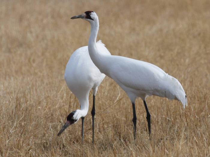
For untold years, the Big and Little Salt Marshes have attracted thousands of migratory waterfowl, providing them with food, cover and a place to rest. Native Americans and early settlers hunted the waterfowl in these marshes and shortly after the turn of the century, commercial hunting provided wagonloads of waterfowl to Kansas City restaurants and other eastern points.
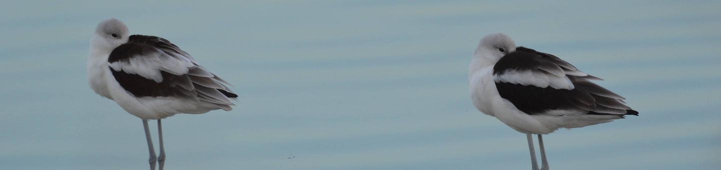
In 1992, Quivira National Wildlife Refuge was designated as a Wetland Site of International Importance due to its location and role as a stopping point for migrating shore birds in the Central Flyway.
Nearby Activities
- Auto Touring
- Birding
- Fishing
- Hiking
- Hunting
- Interpretive Programs
- Photography
- Wildlife Viewing
Directions
To reach Quivira NWR from Wichita, Kansas, and points east, take K96 west to Hutchinson. Take Highway 50 west approximately 14 miles to Highway 14 north. Go 5 miles north to 4th street, turn left and go 17 miles west to the Refuge headquarters. From Great Bend and points north, take Highway 281 south to 70th Street, and then head east 13 miles to the Refuge headquarters. From Pratt and points south take Highway 281 north past St. John to 70th Street. Take 70th Street east 13 miles to the Refuge headquarters. From Macksville and points west, take Highway 50 east to Stafford. Drive north through Stafford and continue 6 miles north to the four-way stop sign. Turn east 6 miles to the Refuge headquarters.