Juniper Flats
Bureau of Land Management, California.
Overview

Download a Brochure and Map before your visit.
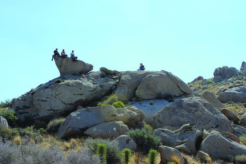
Recreation
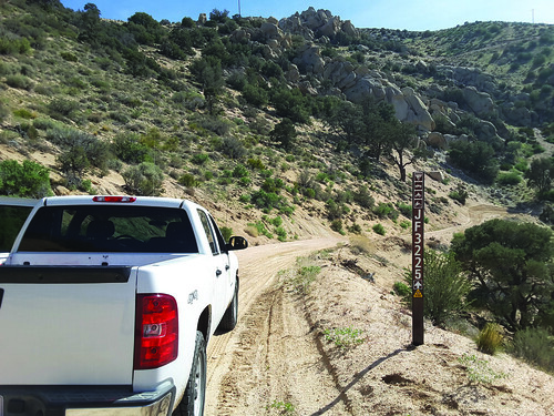
Routes not marked as open are CLOSED to all motorized vehicles. “Technical” or cross-country (off-route) OHV activities are not allowed in Juniper Flats; please use the nearby El Mirage, Johnson Valley, or Stoddard Valley OHV areas. Juniper Flats is part of a public trail network that connects the San Bernardino National Forest with Victor Valley OHV areas to the northwest.
Camping and Picnicking
Dispersed camping and parking are allowed in areas that show obvious signs of prior use and lack of vegetation cover, that are within 300 feet of a designated open route, and that are at least 200 yards from wildlife watering places. Camping in any one location is limited to 14 days. Please obtain permission before entering private land. Fire permits are required and may be restricted in the fire season (May – October). Fire danger is extreme during most of the year.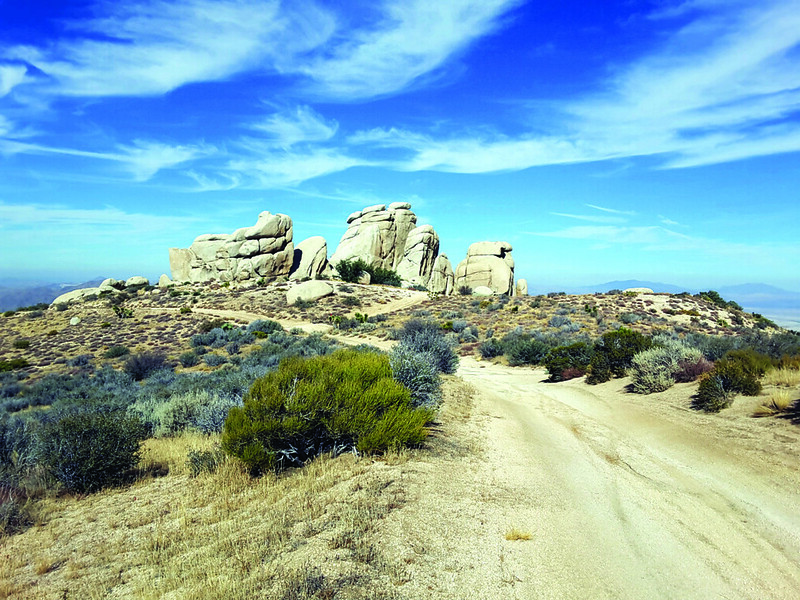
Nearby Activities
- Auto Touring
- Biking
- Camping
- Environmental Education
- Hiking
- Horseback Riding
- Hunting
- Off Highway Vehicle
- Photography
- Wildlife Viewing
Directions
Juniper Flats is an area of public and private lands in the northern foothills of the San Bernardino Mountains. To access the area, use Bowen Ranch Road from Ocotillo Road in Apple Valley