Moab Field Office (Blm)
Bureau of Land Management, Utah.
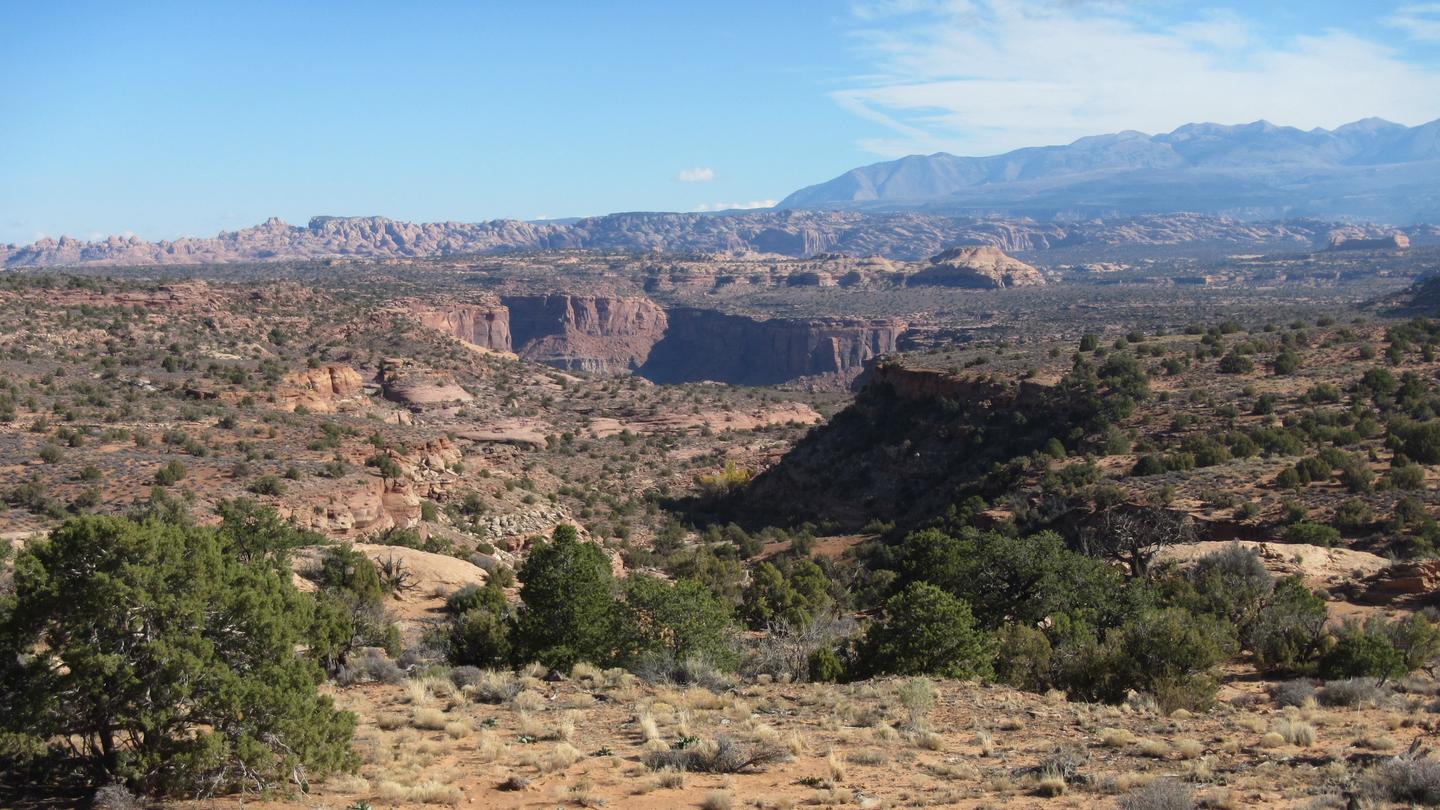
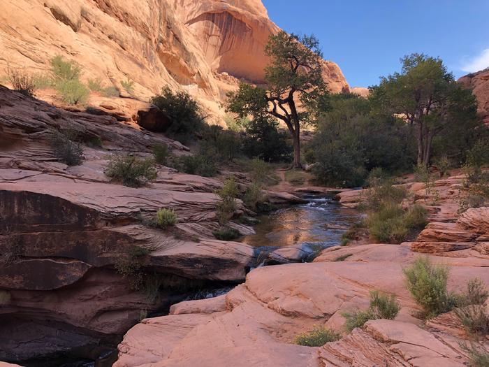
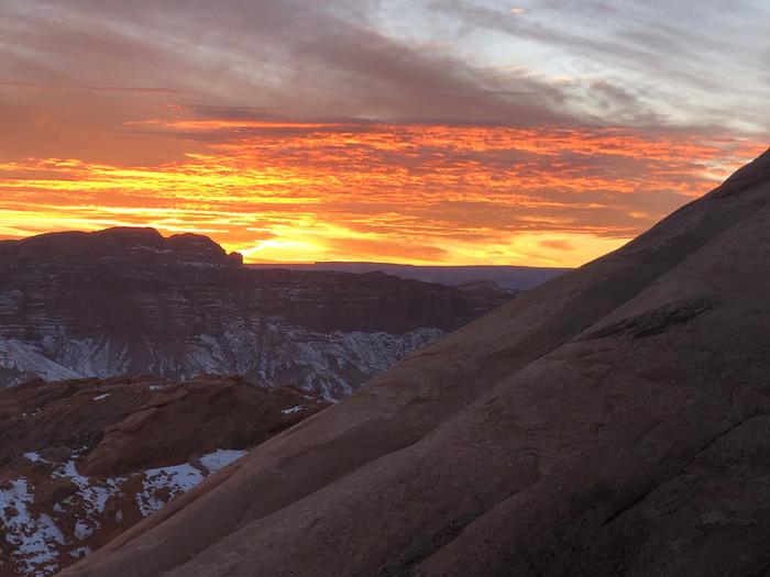
Located in the heart of the Colorado Plateau, the Moab Field Office encompasses 1.8 million acres of stunningly scenic canyon country. Carved by the Colorado and Green Rivers, Moab’s public lands include a vast variety of arches, natural bridges, mesas, and spires. The Moab Field Office is a mecca for recreation, including off-highway vehicles, mountain biking, climbing, base jumping, hiking, horse-back riding, and river rafting. In addition to supporting millions of visitors and hundreds of recreation related jobs in the local communities, Moab also supports a wide array of land uses such as oil and gas production, mining, and livestock grazing. The Field Office is known for evidence of dinosaurs and features the Mill Canyon Interpretive Track Site and Bone Trail. These canyonlands are home to many types of desert wildlife and the area supports a healthy population of big horn sheep, and can provide great opportunities for wildlife viewing during the fall. Spring and fall are especially busy and popular times to be in Moab. To help keep this area beautiful and be respectful of other visitors, please recreate responsibly, following the principles of Tread Lightly and Leave No Trace. For camping information refer to the Moab Camping Guide and Colorado River Moab Daily Camping Map. For updated information about the Canyon Country District, Moab Field Office, and Monticello Field Office, check out the Bureau of Land Management Moab and Canyon Country Facebook page.ill be filled out soon
Camping and Day Use
- Big Bend Group Sites
- Courthouse Rock Campground
- Dewey Bridge Group Sites
- Gold Bar Group Sites
- Goose Island Group Sites
- Hittle Bottom Group Site
- Lower Onion Creek Group Sites
- North Klondike Campground
- Upper Onion Creek Group Site
Activities and Experiences
Nearby Activities
- Auto Touring
- Backpacking
- Biking
- Boating
- Camping
- Canoeing
- Climbing
- Day Use Area
- Hiking
- Hiking Trail
- Horse Camping
- Horseback Riding
- Hunting
- Mountain Biking
- Off Highway Vehicle
- Off Road Vehicle Trails
- Photography
- Picnic Tables
- Picnicking
- Rafting
- Recreational Shooting
- Recreational Vehicles
- River Trips
- Sailing
- Stargazing
- Trails, Difficult Hiking
- Water Sports
- Whitewater Rafting
- Wildlife Viewing
Directions
Within the town of Moab, drive south on Main Street and turn west onto East Dogwood Avenue. The Moab Field Office is on the south side of Dogwood marked by the Canyon Country District and Moab Field Office BLM sign. The put in for the Moab Daily section of the Colorado River is located at the Hittle Bottom Campground, 21 miles east of Moab on Utah State Route 128. Alternate launch points are at Dewey Bridge, Onion Creek, Rocky Rapid, Ida Gulch and Sandy Beach.