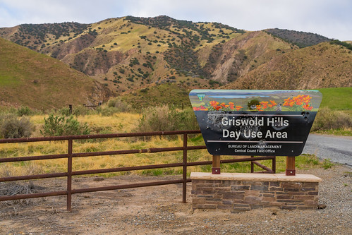
Griswold Hills
Bureau of Land Management, California.
Within the steep and rugged Griswold Canyon, BLM land straddles both sides of the road. Visitor service improvements are now complete at the new day use facility, which features a parking area, a shade structure, picnic benches, a vault toilet, and a kiosk providing an interpretive panel, a map, and information about the area.
Nearby Activities
- Biking
- Camping
- Hiking
- Horseback Riding
- Hunting
- Photography
- Wildlife Viewing
Directions
From State Highway 25, take a left onto Tres Pinos Road (J-1) at Paicines, and head east. Continue east past the intersection of Little Panoche Road; in approximately 3 miles you will come to a fork. Take the road to the right going south (New Idria Road) towards the Idria. The developed trailhead is located on the east side of the road approximately 3 miles from the road fork. An undeveloped trailhead is located on the west side of the road another mile to the south towards Idria.


