Arlie Moore Day Use
Arlie Moore Day Use
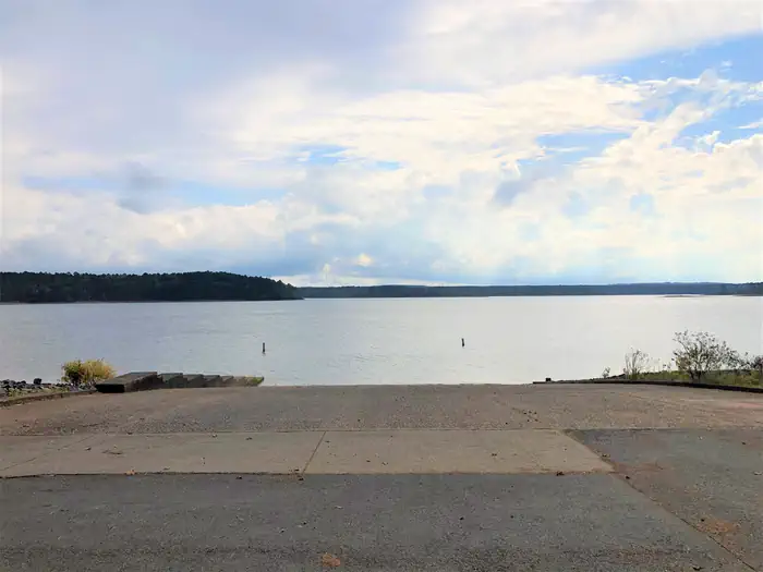
Part of Degray Lake
Overview
Arlie Moore Campground and Day Use Area sits on the northern banks of DeGray Lake in the foothills of the Quachita Mountains.
Hikers find Arlie Moore particularly inviting. In past years, the National Recreation Reservation Service selected the Arlie Moore Interpretive Trail as one of America's Top 25 Hiking Trails.
Facilities
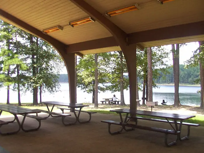
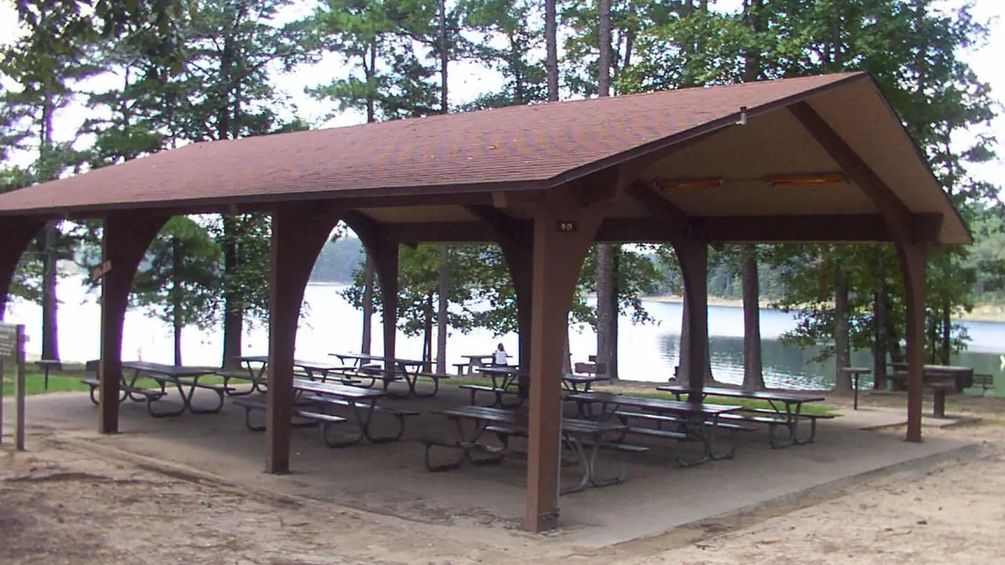
Arlie Moore offers a mix of RV, standard and tent-only campsites, each with electric hookups. Other amenities include flush toilets, heated showers, a boat ramp, swimming beach, interpretive trail, and a reservable group use shelter.
The Arlie Moore Interpretive Trail is located in the Arlie Moore Recreation Area. The trail is a double segment loop, approximately 1.3 miles (2.2 kilometers) in length. The trail meanders through a mature southern pine forest. In 2002, the trail was rehabilitated in large part due to a partnership grant from ALCOA.
To see USACE DeGray Lake Virtual Tour,click here
Natural Features
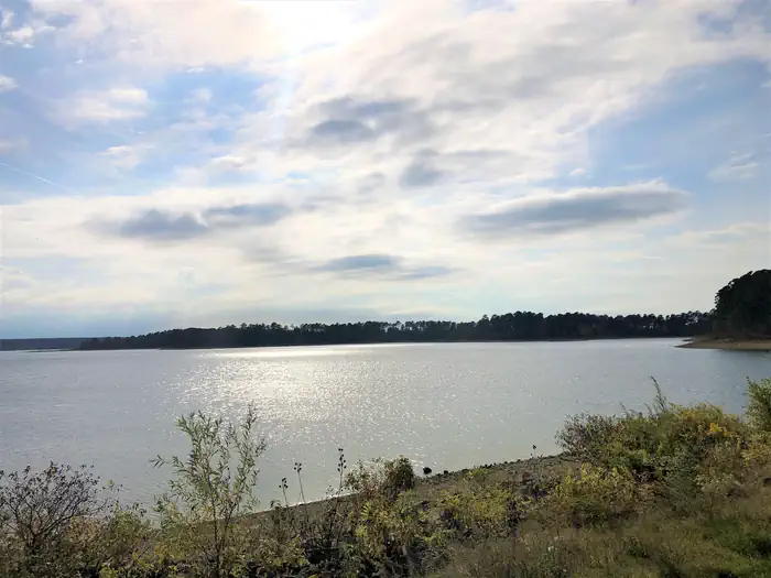
Degray Lake is one of the region's five Diamond Lakes, known for their crystal clear waters. The lake flows from the Caddo River in western Arkansas and spans 13,500 surface acres.
Recreation
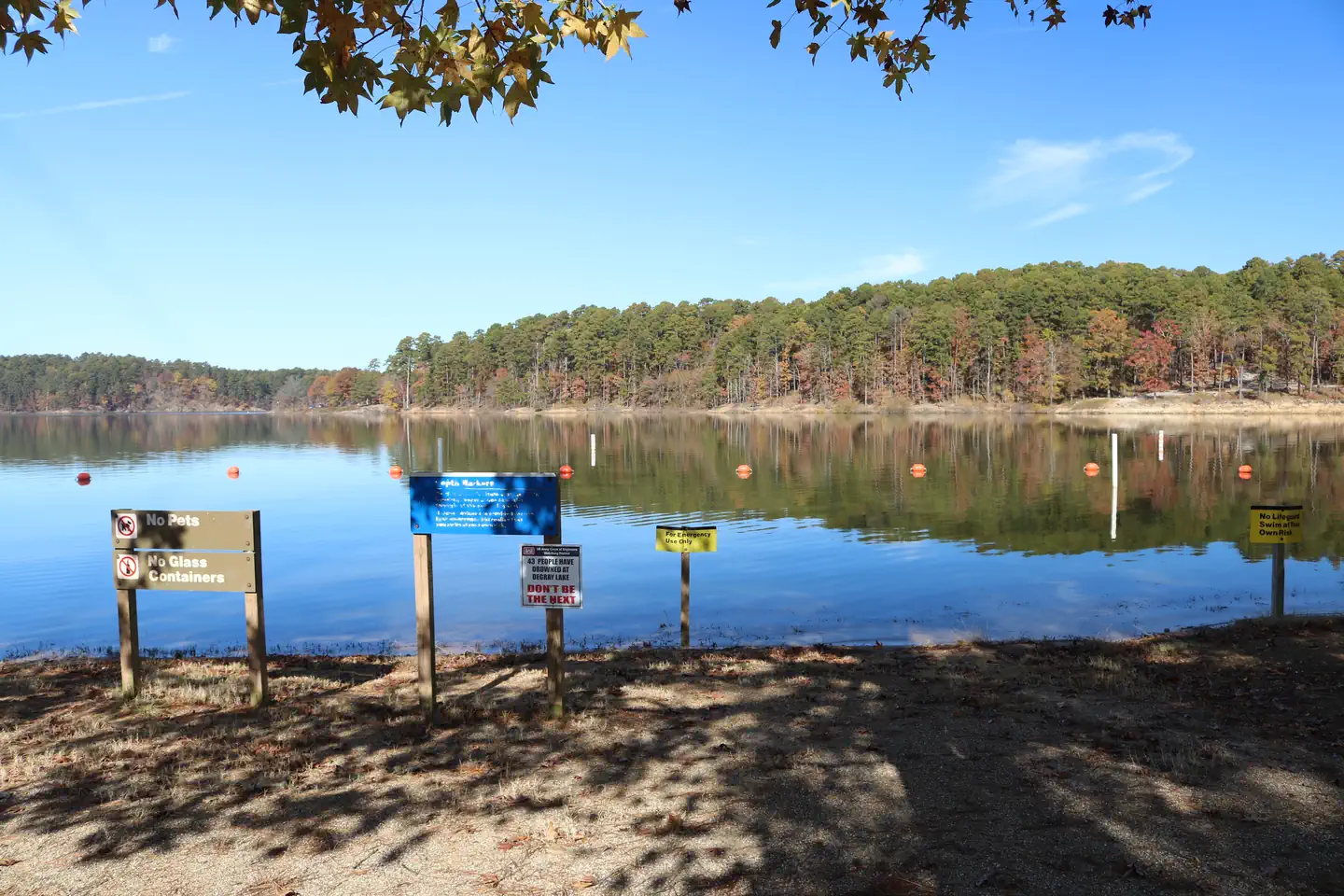
Boating, water skiing, kayaking and other water sports are the biggest draw to the lake, and a boat ramp and swimming beach are provided.
The lake is also stocked with a variety of game fish, including plenty of hybrid striped bass, making it an ideal area for both boat and bank fishing.
Numerous hiking and bike riding trails wind around the lake shore, including the Arlie Moore Interpretive Trail.
Nearby Attractions
The DeGray Lake Resort State Park offers golf courses, tennis courts, horseback riding trails and more along the 207 miles of lake shoreline.
The Ouachita National Forest and Hot Springs National Park are both located nearby.
Important Notices
The public use of Corps Facilities is subject to Title 36, Chapter III, Part 327, of the Code of Federal Regulations (CFR). Any property of the United States damaged or destroyed by incident to the use of this facility shall be promptly repaired or replaced by the organization or group to the satisfaction of the Park Manager. In lieu of repair or replacement, organization or group representative agrees, if requested by the Park Manager, to pay the United States money in an amount sufficient to compensate for the damages to or destruction of government property.
The facilities will be left in the condition at least equal to the pre-event condition and all garbage and trash will be removed from the area and disposed of properly.
Attendees must park in designated parking areas.
All fires, including grills, must be completely extinguished before departure.
Any posted activity signs, that are posted by the group, must be removed before leaving.
Lights must be turned off upon departure.
There is a maximum seating capacity of 50 people.
The organization or group representative must show reservation confirmation if asked by ranger staff.
Pets must be kept on leash at all times.
The organization or group representative agrees that failure to comply with these conditions will constitute a violation of the Corps of Engineers’ public use regulations and will be subject to a written citation and appropriate monetary fine under Title 36 Rules and Regulations.
Please refer to the link for rules and regulations. click here
Available Activities
- Boating - Boating
- Day Use Area - Day Use Area
- Fishing - Fishing
- Hiking - Hiking
- Swimming Site - Swimming Site
- Water Access - Water Access
Directions
<p>From Interstate 30 take exit 78. Merge onto State Highway 7 north for 9 miles. Turn left onto Arlie Moore Rd and continue 2.3 miles to Arlie Moore Day Use Area.</p>
Contact Information
Phone: 870-246-5501
729 Channel roadArkadelphia, AR 71923