Day Run Campground
Day Run Campground
Part of Monongahela National Forest
Overview
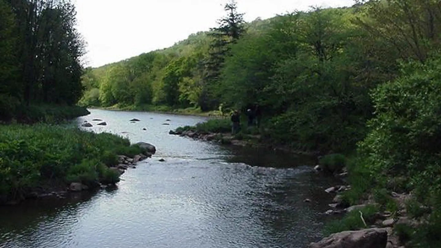
Located just off the Highland Scenic Highway this small developed campground is a perfect getaway for fisherman and hikers. Many of the 12 camping sites boarder the upper scenic Williams River and the campground is within walking distance of many popular trails. Each site is equipped with a wooden picnic table, lantern post, and fire ring. Several campsites also have a tent pad, although all sites are suitable for tent or trailer camping.
Facilities
Day Run offers a rustic camping experience. The campground consists of twelve individual sites, two vault toilets, trash service, and a hand water pump. There are no hookups for RVs, but small to midsize camping trailers will fit into most of the sites. Each campsite includdes a campfire ring, picnic table, and lantern post. The sites are partially shaded.
Natural Features
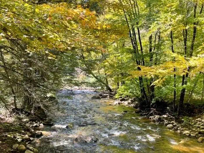
Day Run Campground is located along the upper Williams River and provides a peaceful location for fishing and enjoying the water with your family and friends. The section of the Williams near Day Run has a few scattered deep pools to test your skills at wily trout. It eventually flows towards Tea Creek to Cowen, where it joins the Gauley River.
Recreation
Fishing and hunting are popular activities in the area. The campground stays busy during the spring fishing and gobbler season as well as in the fall. Day Run Campground is a good basecamp for trail users. Teacreek trail system and Cranberry Wilderness are nearby.
Nearby Attractions
Day Run is located just off of the Highland Scenic Highway, a national scenic byway that extends 43 miles from Richwood to US Route 219, north of Marlinton. Four scenic overlooks provide comfortable rest stops with panoramic views of the surrounding mountains and valleys. The Highland Scenic Highway traverses the mountainous terrain of the Allegheny Highlands and Plateau, and rises from 2,325 feet in Richwood to more than 4,500 feet at Black Mountain.
Contact Info
For facility specific information, please call (304) 799-4334.Important Notices
Be Bear Aware; keep all food out of site in approved containers or locked inside your vehicle and remove all food from area after eating
No RV hookups are available
Limit 2 vehicles per campsite
For more information on Monongahela National Forest, click here https://www.fs.usda.gov/mnf
Don't move firewood: To limit the spread of invasive tree-killing pests, firewood from outside the area is not permitted. Some states have quarantines and may confiscate your firewood. Please help protect our forests from invasive species by obtaining your firewood at or near your camping destination and burning it on-site. Visit https://www.dontmovefirewood.org/
Notifications and Alerts
The Monongahela National Forest has two major road construction projects scheduled for 2026. Recreation and transportation access impacts are projected. These projects are necessary to repair significant flood damage and restore safe access to key areas of the forest.
Two major repair projects are scheduled for 2026:
• Forest Road (FR) 76 Embankment Stabilization Project—Cranberry Area. This closure will affect the section of Forest Road 76 between the intersection with County Route 7/6 and the Woodbine area. No through traffic will be permitted during construction. Forest Visitors may access the recreation sites along the Cranberry River via Webster County Road 48 near Dyer, WV to Forest Road 101, to open portions of Forest Road 76.
• Forest Road (FR) 86 Base Repair and Resurfacing Project—Williams River Area. Forest Road 86 provides access to the Williams River corridor, one of the Forest’s most popular recreation destinations and is used as a connector route to Marlinton for the communities of Dyer, Donaldson, Upperglade and Cowen. This project will repair road base failures and resurface the entire 18.4-mile length of FR 86, improving safety and long-term durability.
Complete through traffic on FR 86 will not be allowed during the construction period.
• Work will occur in seven separate sections to limit disruptions.
• Each section will be closed while construction operations are underway.
• Sections may close more than once depending on construction sequencing.
Visitors are asked to respect all posted closures and avoid attempting to bypass the affected area. Updates will be shared on the Monongahela National Forest website and social media as new information becomes available.
Directions
<p>From Marlinton take US Route 219 north 7 miles to State Route 150, which is the Highland Scenic Highway. Turn left onto Route 150 and drive 9 miles to the Williams River Bridge turnoff, located on the left. Turn right at the stop sign onto Forest Road 86 and drive 3 miles to the intersection of Forest Road 216. Take a hard right onto Forest Road 216 and drive 1 mile to Day Run Campground.</p>
Contact Information
Phone: 304-799-4334
1627 Cemetery RoadMarlinton, WV 24954
Rental Options
Available Campsites
- Site 9, Loop Day Run, Type Standard Nonelectric
- Site 4, Loop Day Run, Type Standard Nonelectric
- Site 11, Loop Day Run, Type Standard Nonelectric
- Site 8, Loop Day Run, Type Standard Nonelectric
- Site 5, Loop Day Run, Type Standard Nonelectric
- Site 2, Loop Day Run, Type Standard Nonelectric
- Site 12, Loop Day Run, Type Standard Nonelectric
- Site 7, Loop Day Run, Type Standard Nonelectric
- Site 3, Loop Day Run, Type Standard Nonelectric
- Site 6, Loop Day Run, Type Standard Nonelectric
- Site 10, Loop Day Run, Type Standard Nonelectric
- Site 1, Loop Day Run, Type Standard Nonelectric