Magone Lake Campground
Magone Lake Campground
Part of Malheur National Forest
Overview
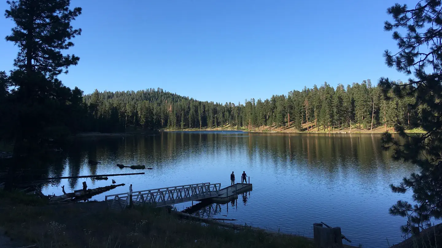
Magone Lake Campground is situated along its namesake lake. Visitors enjoy fishing, canoeing, swimming, mountain biking and hiking.
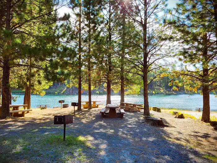
The campground is set in a forest of White Fir and Ponderosa Pine. Magone Lake covers about 50 acres and features both deep holes of up to 100 feet and shoals on the north side. Geologists believe Magone Lake was created by a landslide in the early 1800s.
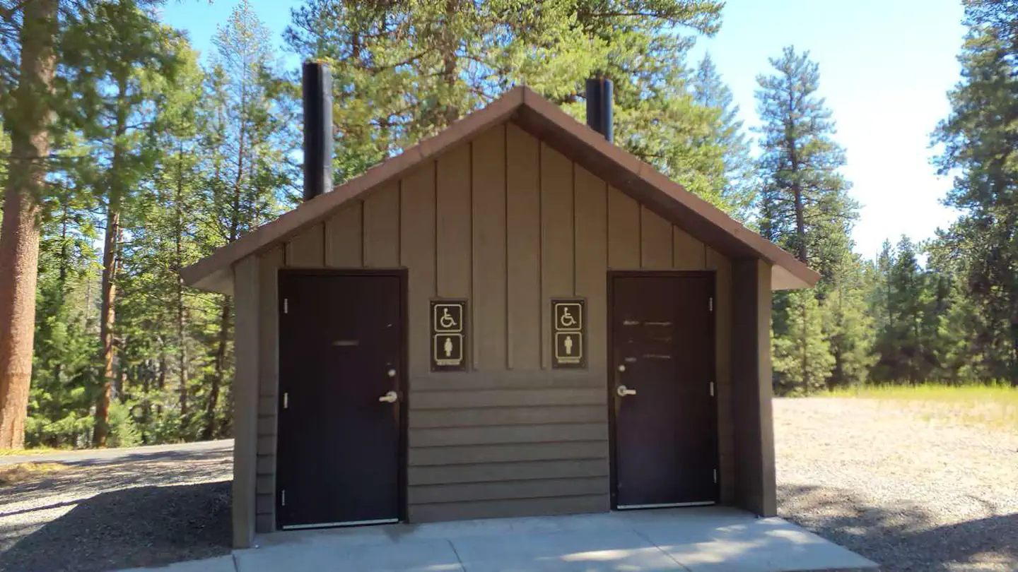
Facilities
Day use swimming area with beach
Boat launch and dock
Fishing pier
Walking trail around the lake
Potable water during summer months
Mountain bike trails
Recreation
The Magone Lake area offers swimming, fishing, hiking and mountain biking opportunities. The lake contains eastern brook and rainbow trout. A boat ramp is available on-site. Visitors also enjoy viewing wildflowers and interesting geology throughout the region
Nearby Attractions
Middle Fork John Day River
Magone Bike Trail Network
Contact Info
For facility specific information, please call (541) 575-3000.Important Notices
Don't Move Firewood: Please protect Pacific Northwest forests by preventing the spread of invasive species. Firewood can carry insects and diseases that can threaten the health of our western forests. You can make a difference by obtaining and burning your firewood near your camping destination. Visit Dontmovefirewood.org for further information.
Drinking water is available only during warmer months; water will be shut off from early October until late May (specific dates required to prevent freezing lines depend on area temperatures).
No cell phone coverage.
No trash service; Pack it in/Pack it out
Notifications and Alerts
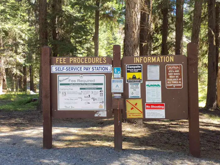
All campsites are first come, first serve. No reservations required.
Available Activities
- Biking - Biking
- Canoeing - Canoeing
- Boating - Boating
- Camping - Camping
- Fishing - Fishing
- Hiking - Hiking
- Picnicking - Picnicking
- Day Use Area - Day Use Area
- Hunting - Hunting
- Swimming - Swimming
Directions
<p>From John Day, Oregon, take U.S. Highway 26 east for approximately 9 miles. At the junction of County Road 18, travel north approximately 10 miles. At Forest Road 3620, turn west and drive approximately 1 mile to Forest Road 3618. The campground is about 1 mile from the turnoff. From Prairie City, Oregon, take U.S. Highway 26 approximately 3 miles west. At the junction of County Road 18, travel north approximately 10 miles. Turn west on Forest Road 3620 and travel approximately 1 mile to Forest Road 3618. The campground is about 1 mile from the turnoff.</p>
Contact Information
Blue Mountain Ranger District431 Patterson Bridge Road
John Day, OR 97845
Rental Options
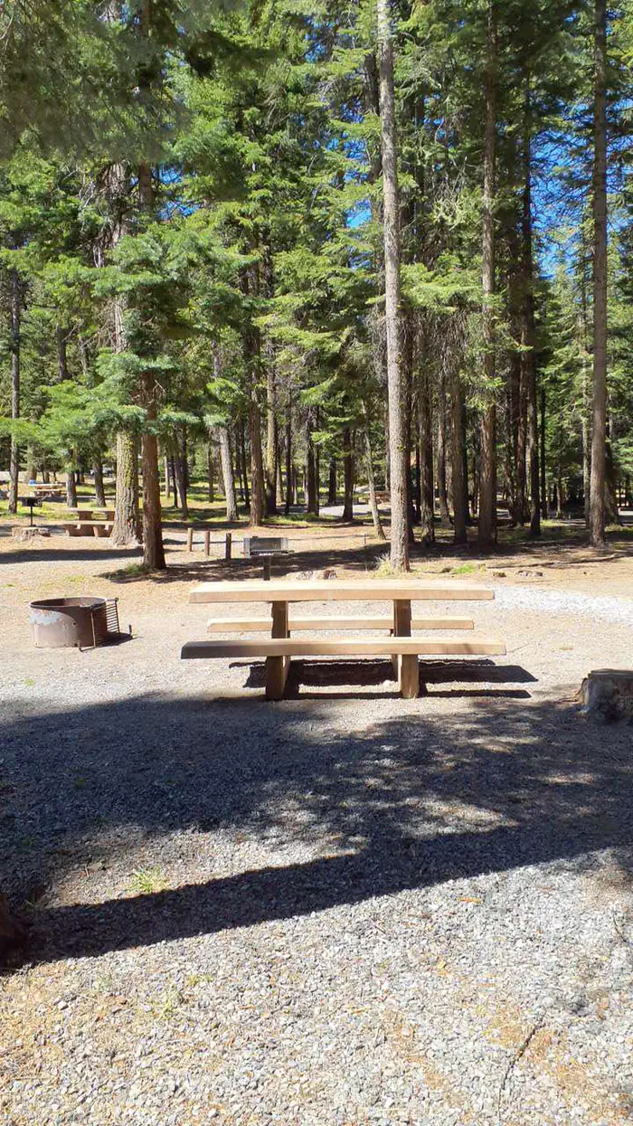
Available Campsites
- Site 20, Loop Magone, Type Standard Nonelectric
- Site 11, Loop Magone, Type Standard Nonelectric
- Site 03, Loop Magone, Type Standard Nonelectric
- Site 12, Loop Magone, Type Standard Nonelectric
- Site 16, Loop Magone, Type Standard Nonelectric
- Site 02, Loop Magone, Type Standard Nonelectric
- Site 05, Loop Magone, Type Tent Only Nonelectric
- Site 15, Loop Magone, Type Standard Nonelectric
- Site 21, Loop Magone, Type Standard Nonelectric
- Site 07, Loop Magone, Type Tent Only Nonelectric
- Site 01, Loop Magone, Type Standard Nonelectric
- Site 13, Loop Magone, Type Standard Nonelectric
- Site 17, Loop Magone, Type Standard Nonelectric
- Site 04, Loop Magone, Type Standard Nonelectric
- Site 09, Loop Magone, Type Standard Nonelectric
- Site 14, Loop Magone, Type Standard Nonelectric
- Site 19, Loop Magone, Type Standard Nonelectric
- Site 06, Loop Magone, Type Tent Only Nonelectric
- Site 18, Loop Magone, Type Standard Nonelectric
- Site 08, Loop Magone, Type Standard Nonelectric
- Site 10, Loop Magone, Type Standard Nonelectric