Indian Creek (UT)
INDIAN CREEK (UT)
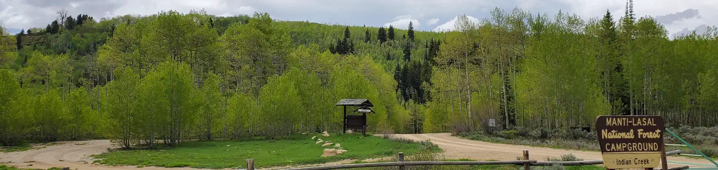
Part of Manti-La Sal National Forest
Overview
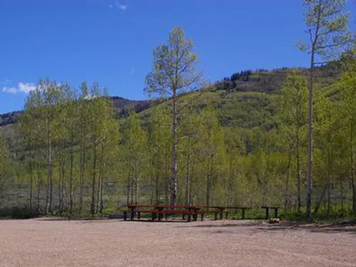
Indian Creek Campground is located in a high mountain valley surrounded by beautiful peaks, at an elevation of 8,000 feet. Visitors enjoy exploring the area trails on foot, and by horse and on off-road vehicles.Facilities
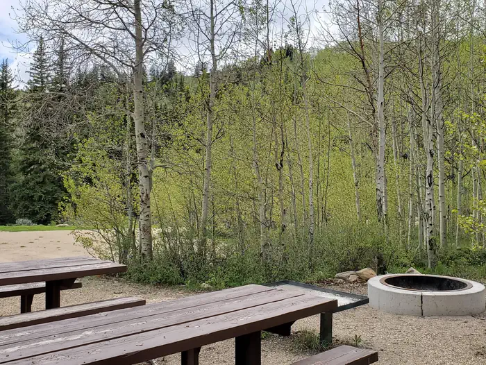
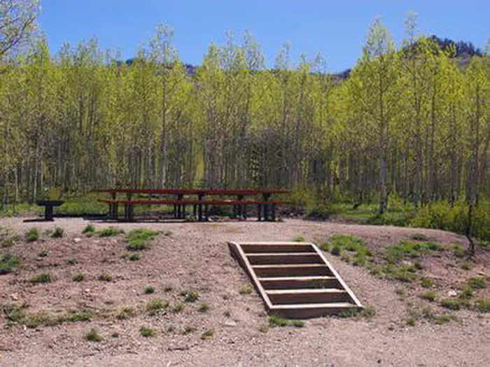
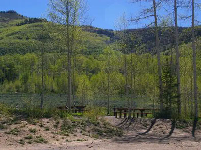
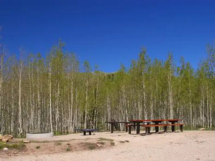
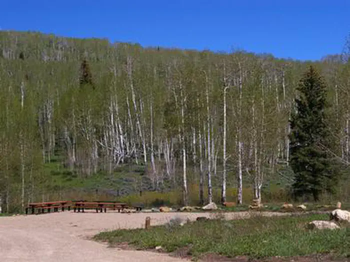
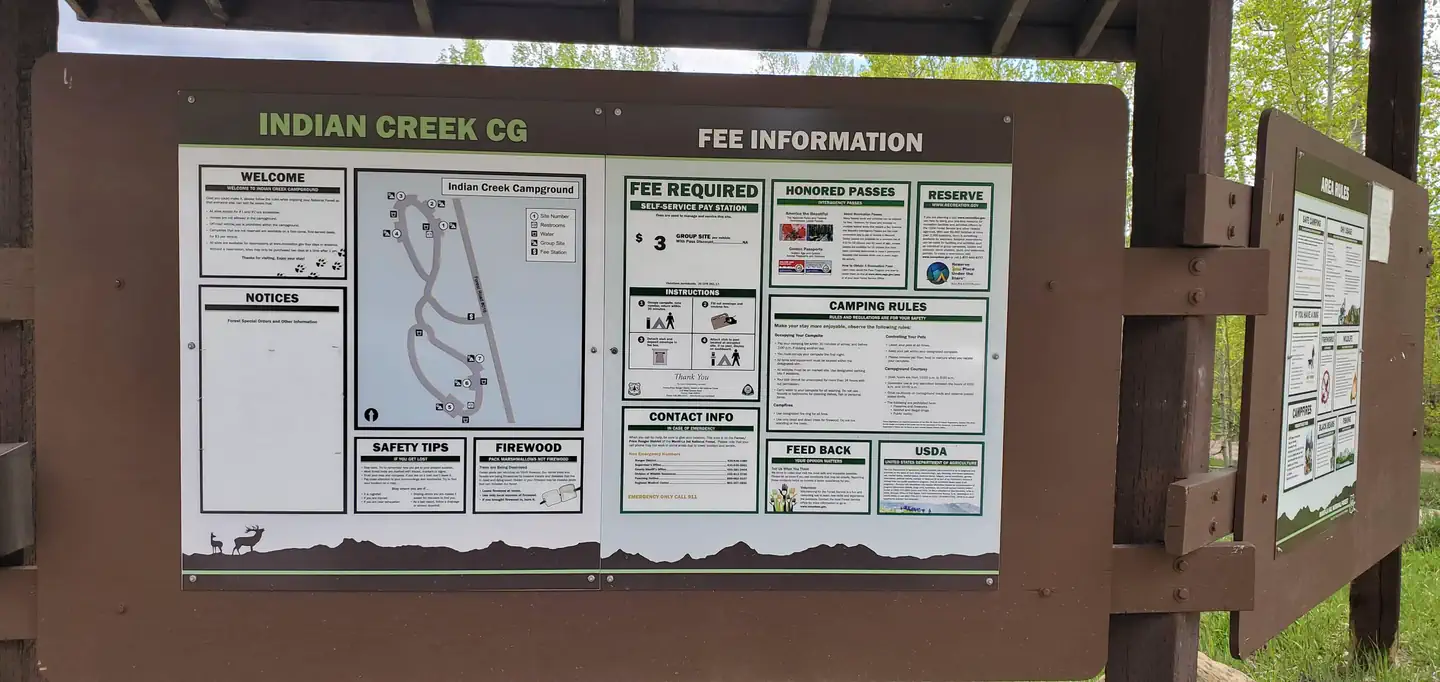
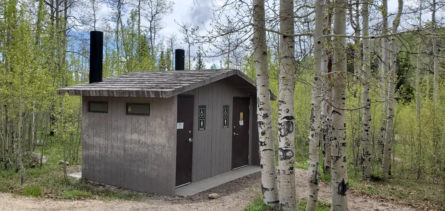
The campground contains seven large, group-sized campsites that can accommodate from 30 to 70 people. Vault toilets and drinking water are provided, but no electricity or garbage service are available within the campground.Roads and spurs within the campground are dirt. It can be reached via the well-maintained dirt and gravel Cottonwood Creek Road, which providing relatively easy access for cars and RVs.
Natural Features
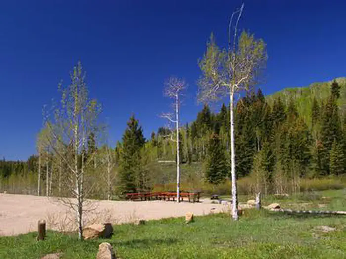
Indian Creek is situated in Upper Joe's Valley, on the Wasatch Plateau in Central Utah. A grove of aspens forests the site, offering only limited shade, but bright autumn color. Sagebrush and pines dot the landscape.Recreation
Horseback riding, hiking and mountain biking are popular activities in the Indian Creek area. Many trails crisscross the surrounding valley and mountainsides.Nearby Attractions
Potters Pond is nearby, offering great canoeing and rainbow trout fishing.The expansive Arapeen OHV Trail System can be accessed close by and has more than 350 miles of designated, well-maintained trails for off-road vehicles. Trails there are suitable for all riding levels.
Important Notices
- All sites except #1 and #2 are accessible
- Horses are not allowed in the campground
- Off-road vehicle use is prohibited within the campground
- Campsites are available on a first-come, first-served basis for $3 per vehicle when the group site is not reserved
- Click here for more information on the Manti-La Sal National Forest
- Don't Move Firewood: Help prevent the spread of tree-killing pests in our national forests by obtaining firewood near your destination and burning it on-site. For more information visit dontmovefirewood.org.
Available Activities
- HIKING - Hiking
- FISHING - Fishing
- CAMPING - Camping
- BIKING - Mountain Biking
Directions
From Orangeville, Utah, travel northwest on State Route 29 for approximately seven miles. Turn onto Cottonwood Creek Road 040 and travel north for 12 miles, to Upper Joe's Valley. Continue to the campground.
Contact Information
Phone: 435-384-2372
FERRON/PRICE RANGER DISTRICT115 WEST CANYON ROAD
PO BOX 310
FERRON, UT 84523
Rental Options
Available Campsites
- Site 02, Loop MAIN, Type Group Standard Nonelectric
- Site 04, Loop MAIN, Type Group Standard Nonelectric
- Site 07, Loop MAIN, Type Group Standard Nonelectric
- Site 05, Loop MAIN, Type Group Standard Nonelectric
- Site 01, Loop MAIN, Type Group Standard Nonelectric
- Site 03, Loop MAIN, Type Group Standard Nonelectric
- Site 06, Loop MAIN, Type Group Standard Nonelectric