Upper Stillwater
UPPER STILLWATER
Part of Ashley National Forest
Overview
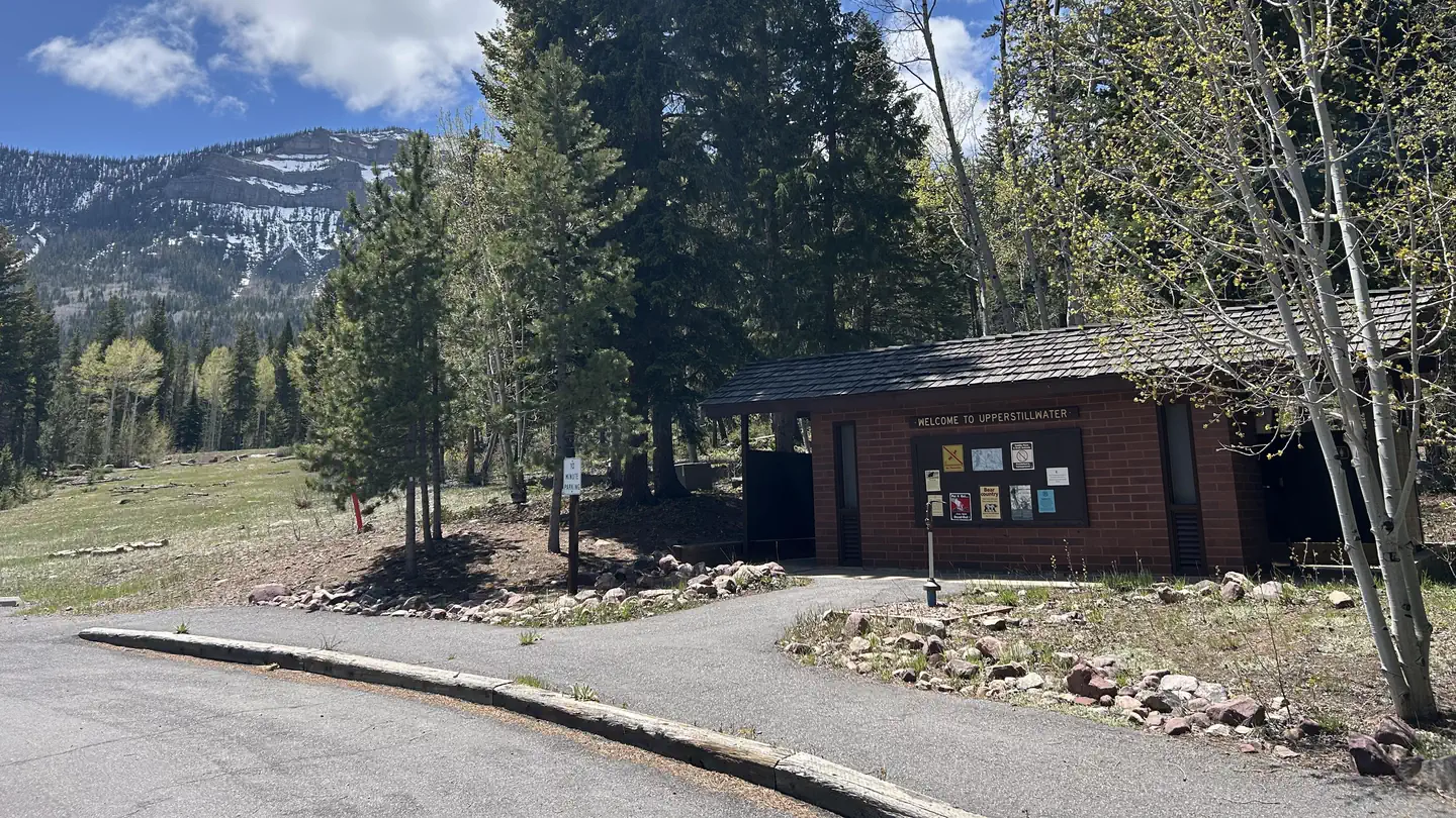
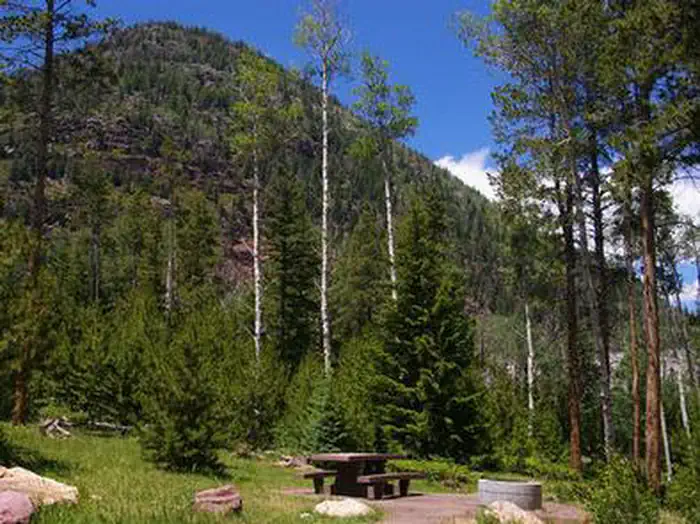
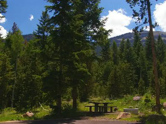
Upper Stillwater Campground is located below its namesake reservoir in the Rock Creek Drainage on the southern slope of the beautiful Uinta Mountains. Visitors enjoy fishing and exploring the popular Rock Creek Trail.Facilities
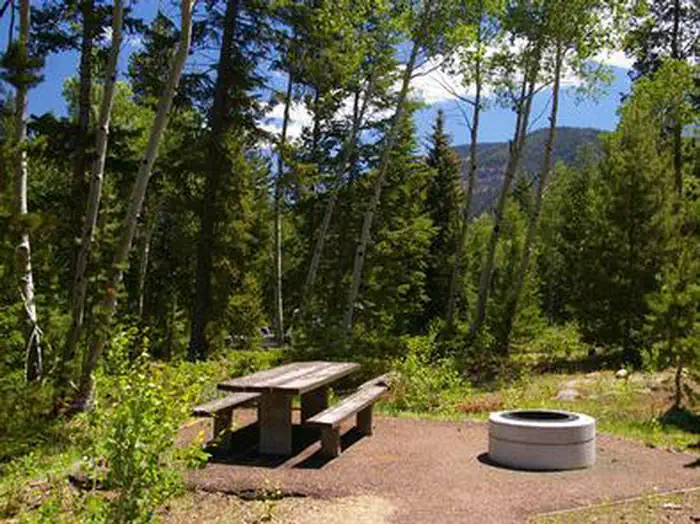
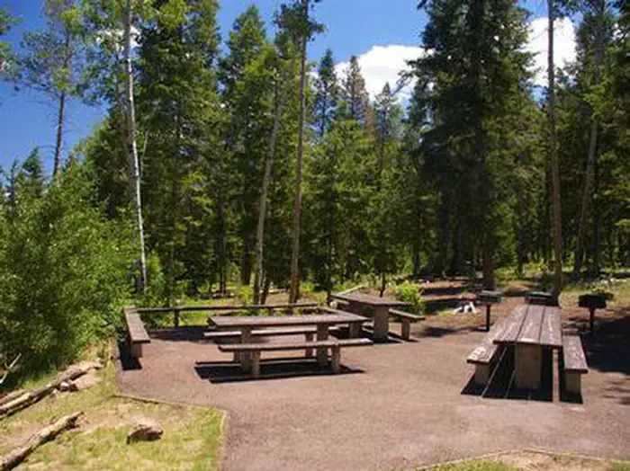
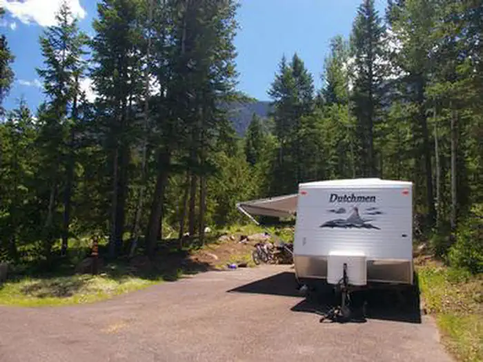
The campground contains one group site that can accommodate up to 32 people. It is equipped with picnic tables, grills, a campfire ring, three tent pads and RV parking. Single and double-family sites are available as well, each with a picnic table and campfire ring.Flush toilets, drinking water and trash collection are provided. A campground host is on-site. A dump station is located 3 miles away at Yellowpine Campground.
Natural Features
The campground is situated just below the Upper Stillwater Dam at an elevation of 8,000 feet. The concrete dam is visible from the campground. A forest of Ponderosa pine, lodgepole pine and aspen trees provides only sparse shade. Summer wildflowers are abundant.Recreation
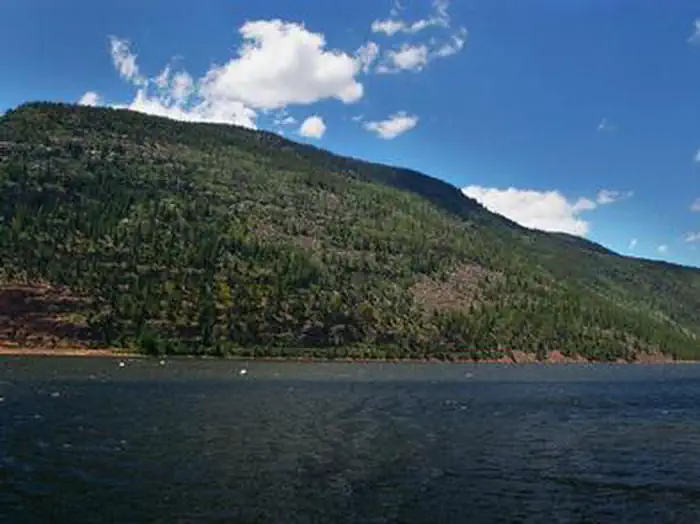
The Rock Creek Trail begins just outside the campground and provides access to the High Uintas Wilderness, where hiking, backpacking, horseback riding and backcountry fishing are very popular activities in this scenic region.Rock Creek offers rainbow and brook trout fishing. To access the reservoir, visitors must hike in; The road to the reservoir is not currently open to vehicle traffic.
Important Notices
- Single sites are allowed 8 people, 1 vehicle, 1 RV/trailer and 1 tent; Double sites are allowed 16 people, 2 vehicles, 2 RV/trailers and 2 tents; Group sites are allowed 32 people, 4 vehicles, 4 RV/trailers and 3 tents
- Click here for more information on the Ashley National Forest
- Don't Move Firewood: Help prevent the spread of tree-killing pests in our national forests by obtaining firewood near your destination and burning it on-site. For more information visit dontmovefirewood.org.
Available Activities
- WILDLIFE VIEWING - Wildlife Viewing
- HORSEBACK RIDING - Horseback Riding
- HIKING - Hiking
- FISHING - Fishing
- CAMPING - Camping
Directions
From Duchesne, Utah: Take Highway 87 approximately 20 miles north to Mountain Home. Turn left at the Rock Creek Store and travel 18 miles to the campground.
Contact Information
PO BOX 981DUCHESNE, UT 84021
Rental Options
Available Campsites
- Site 06, Loop UPPER STILLWATER , Type Standard Nonelectric
- Site 01, Loop UPPER STILLWATER , Type Standard Nonelectric
- Site 14, Loop UPPER STILLWATER , Type Standard Nonelectric
- Site 03, Loop UPPER STILLWATER , Type Standard Nonelectric
- Site 12, Loop UPPER STILLWATER , Type Standard Nonelectric
- Site 07, Loop UPPER STILLWATER , Type Group Rv Area Nonelectric
- Site 08, Loop UPPER STILLWATER , Type Standard Nonelectric
- Site 05, Loop UPPER STILLWATER , Type Standard Nonelectric
- Site 02, Loop UPPER STILLWATER , Type Standard Nonelectric
- Site 13, Loop UPPER STILLWATER , Type Standard Nonelectric
- Site 04, Loop UPPER STILLWATER , Type Standard Nonelectric