Summit Lake North
SUMMIT LAKE NORTH
Part of Lassen Volcanic National Park
Overview
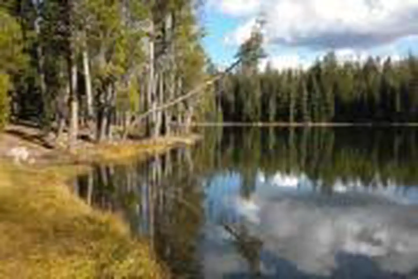
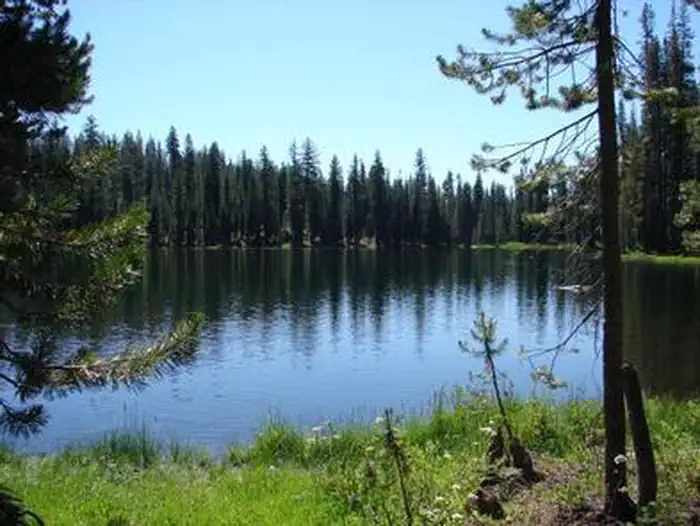
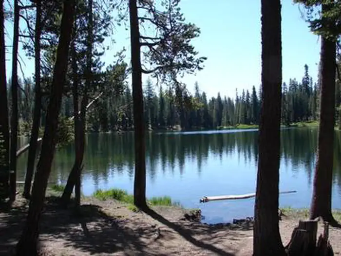
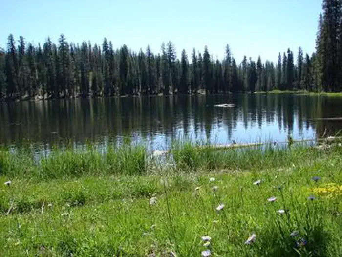
Summit Lake North Campground (elevation 6,700 ft.) is conveniently located on the main road of Lassen Volcanic National Park. The campground is within walking distance of the small but scenic Summit Lake and eight miles from the 10,457-ft. Lassen Peak, the largest volcano in the park..Hikers will find one of the park's major trails only 1/4-mile away from the campground and many more within a close proximity. Summit Lake North is on the opposite side of the lake from Summit Lake South Campground.
Facilities
This facility has flush toilets, drinking water, campfire rings and picnic tables. For more information visit Campgrounds of Lassen Volcanic.Natural Features
The national park is known for its volcanic history, as well as its diversity of plants and animals. It contains 300 active volcanic domes and many hydrothermal features, such as mud pots and steam vents. Lassen Peak is the southernmost active volcano in the Cascades, and the second most recent volcano to erupt in the lower 48 of the United States before Mount Saint Helens.Lassen National Park boasts over 700 species of flowering plants and 250 native species including birds, mammals, reptiles and fish. The park is at the junction of the Cascade Mountains, the Sierra Nevada Mountains and the Great Basin, providing many unique habitats.
Recreation
The campground is a hub for hiking and backpacking enthusiasts. Campers can access many of the park's 150 miles of hiking trails from the Summit Lake area. The Cluster Lakes loop trail--a major trailhead into the park's interior that bypasses several alpine lakes and is popular among birders--is located a short walk from the Summit Lake Ranger Station. This is the closest campground to the Lassen Peak Trail and within 10 miles of the hydrothermal area Bumpass Hell. Educational programs are presented at an amphitheater within the facility.Important Notices
- Be bear aware; food and scented products must be stored in the bear lockers provided at each campsite
- Pets are not allowed on park trails and must be on a 6-ft. leash
- There are no electricity, water or sewer hook-ups
An entrance fee of $30 per vehicle is required. We highly recommend visitors purchase the park's digital 1-7 day entrance fee or the parks annual pass throught recreation.gov prior to visiting park.
- Campers must have a valid entrance permit or pass before camping
- 50 percent discount on camping fees applies only to lifetime pass holders and senior annual pass holders
- Don't Move Firewood: Help protect our forests! Prevent the spread of tree-killing pests by obtaining firewood at or near your destination and burning it on-site. Moving firewood is illegal in some states. Visit dontmovefirewood.org to learn more.
Please have a printed copy of your reservation with you.
Available Activities
- SWIMMING SITE - Swimming
- DAY USE AREA - Amphitheater
- VISITOR CENTER - Comfort Station
- PICNICKING - Picnic Tables
- HIKING - Hiking
- FISHING - Fishing
- CAMPING - Camping
Directions
From Redding, California take State Highway 44 east approximately 48 miles to the Manzanita Lake entrance of the park. The campground is 14 miles south of the entrance on the main park road.
Contact Information
Phone: 530 595-6121
LASSEN VOLCANIC NP P.O.BOX 100MINERAL, CA 96063
Rental Options
Available Campsites
- Site B01, Loop Loop B, Type Standard Nonelectric
- Site B21, Loop Loop B, Type Standard Nonelectric
- Site A16, Loop Loop A, Type Standard Nonelectric
- Site B12, Loop Loop B, Type Standard Nonelectric
- Site A08, Loop Loop A, Type Standard Nonelectric
- Site A09, Loop Loop A, Type Tent Only Nonelectric
- Site B13, Loop Loop B, Type Standard Nonelectric
- Site A13, Loop Loop A, Type Tent Only Nonelectric
- Site A10, Loop Loop A, Type Standard Nonelectric
- Site A11, Loop Loop A, Type Standard Nonelectric
- Site B22, Loop Loop B, Type Standard Nonelectric
- Site A06, Loop Loop A, Type Standard Nonelectric
- Site A04, Loop Loop A, Type Standard Nonelectric
- Site B15, Loop Loop B, Type Standard Nonelectric
- Site A07, Loop Loop A, Type Standard Nonelectric
- Site B06, Loop Loop B, Type Tent Only Nonelectric
- Site A17, Loop Loop A, Type Standard Nonelectric
- Site B11, Loop Loop B, Type Standard Nonelectric
- Site B04, Loop Loop B, Type Standard Nonelectric
- Site B08, Loop Loop B, Type Tent Only Nonelectric
- Site B16, Loop Loop B, Type Tent Only Nonelectric
- Site B18, Loop Loop B, Type Standard Nonelectric
- Site A02, Loop Loop A, Type Standard Nonelectric
- Site A18, Loop Loop A, Type Standard Nonelectric
- Site B07, Loop Loop B, Type Tent Only Nonelectric
- Site B20, Loop Loop B, Type Standard Nonelectric
- Site B10, Loop Loop B, Type Standard Nonelectric
- Site A12, Loop Loop A, Type Standard Nonelectric
- Site B17, Loop Loop B, Type Tent Only Nonelectric
- Site A01, Loop Loop A, Type Standard Nonelectric
- Site A05, Loop Loop A, Type Standard Nonelectric
- Site B14, Loop Loop B, Type Tent Only Nonelectric
- Site B02, Loop Loop B, Type Standard Nonelectric
- Site B25, Loop Loop B, Type Standard Nonelectric
- Site A14, Loop Loop A, Type Standard Nonelectric
- Site B23, Loop Loop B, Type Standard Nonelectric
- Site A15, Loop Loop A, Type Standard Nonelectric
- Site B09, Loop Loop B, Type Standard Nonelectric
- Site B19, Loop Loop B, Type Tent Only Nonelectric
- Site B03, Loop Loop B, Type Standard Nonelectric
- Site B24, Loop Loop B, Type Standard Nonelectric
- Site B05, Loop Loop B, Type Standard Nonelectric