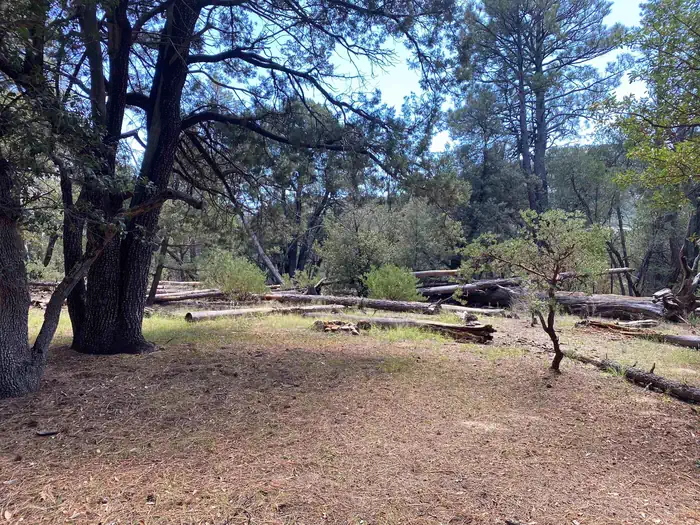
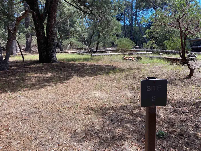
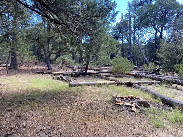
Site Happy Valley 2, Loop Happy Valley
Saguaro National Park | Saguaro National Park Wilderness Permits
Type: HIKE TO
Enter dates to check availability
Site Details
- Campfire Allowed: Yes
- Hike In Distance to Site: 4 miles
- Max Num of People: 6
- Min Num of People: 1
- Site Access: Hike In
Need to Know
Happy Valley Campsite #2 is within Happy Valley Campground. This is the shortest hike to a campground, covering 3.9 miles (6.2 km) and over 2000 feet (670 m) of elevation gain.
This site does not have a bear box, but campers can use the two bear boxes located at the nearby sites. This site has a fire ring and enough camping space for up to 6 backpackers.
Water at this campsite is variable, and often involves a long hike to find. The creek that runs next to the campground is sandy and water disappears below the sand. Follow the creek downstream to find areas of rock with water exposed and pooling.
This campground offers a resting point to climbing Rincon Peak, and sits at an elevation of 6200 feet (1890 m). There are many dangerous dead pine trees in the area, and this area is often affected by winter storms. However, during the summer the trailhead elevation is much higher and offers excellent views to the east.
Directions to the trailhead(s): Happy Valley Campground is reached via the Miller Creek and Turkey Creek trailheads. Once at the trailhead, you must hike an additional 1.5 miles (2.4 km) on either trail to reach the boundary of Saguaro National Park.
Both are located on the Coronado National Forest on the back (east) side of the Rincon Mountains. Miller creek is accessible with two wheel drive vehicles but Turkey Creek TH is only accessible with a high clearance 4WD vehicle.
From Interstate 10, take exit 297 (Mescal Road) and head north. The road is paved for the first two miles (3.2 km) and graded gravel for the remainder of its length. When you enter the Coronado National Forest, the road is named USFS Route #35. The turnoff to the Miller Creek Trailhead is 16 miles (26 km) north of I-10. The Turkey Creek Trailhead turnoff is one half mile beyond the Miller Creek turnoff. Look for USFS Route #4408 and turn left. Vehicles without high clearance and 4-wheel-drive will not be able to negotiate the last 1.6 miles (2.5 km) of road leading to the Turkey Creek Trailhead. WARNING: This is a rarely maintained dirt road that has multiple stream crossings. During wet winters and the monsoon season this road may be impassable.
You must camp in your assigned campsite.


