Gold Butte National Monument
Overview
Gold Butte National Monument is managed by Bureau of Land Management and is located near Overton, Nevada.
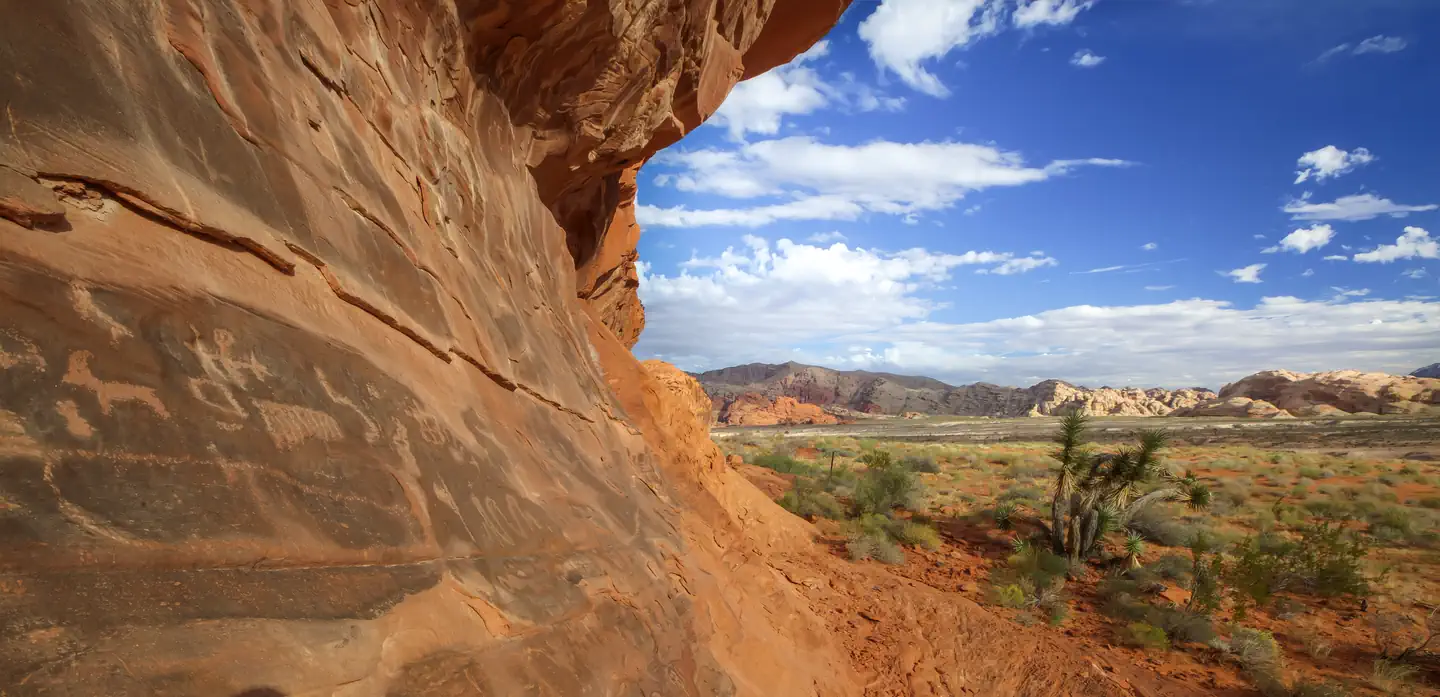
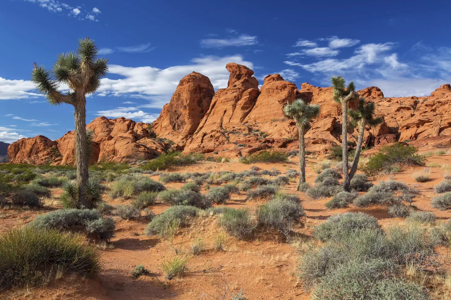
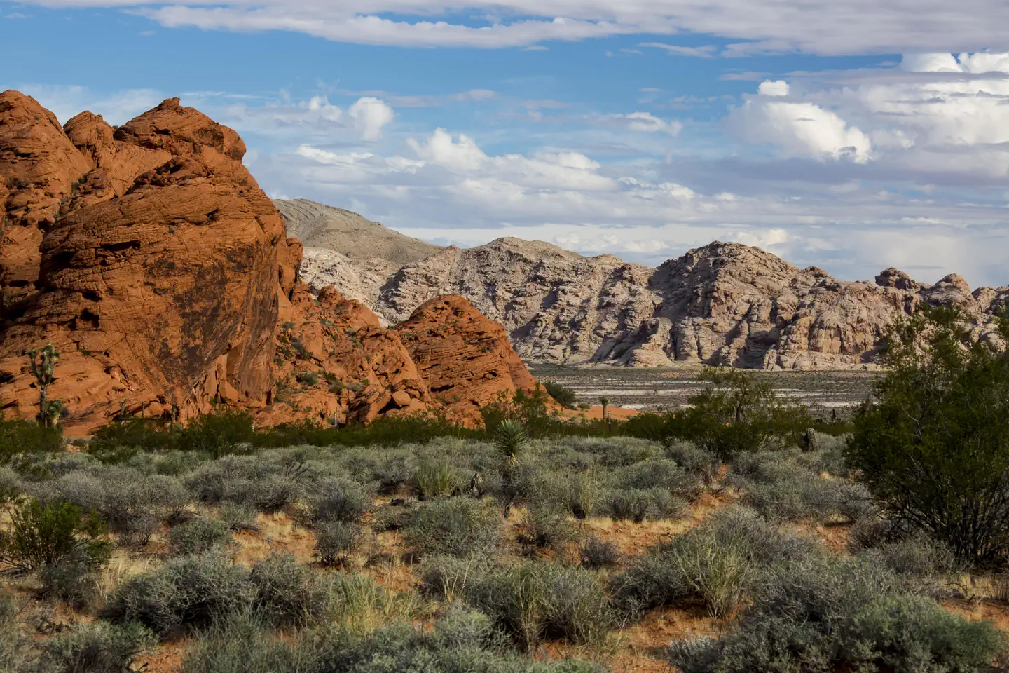
Inside the rugged 296,937-acre Gold Butte National Monument is an extraordinary variety of pre-historic, historic, geological, and biological treasures. The landscape reveals the story of human habitation over thousands of years, from the rock stories carved by ancient indigenous people to the remnants of Western mining and ranching heritage. Canyons and intricate rock formations sculpted through the millennia by wind and water offer a stunning backdrop and a photographer’s dream. Over 300 miles of primitive, designated routes provide the public access to a variety of these features. The Monument is remote and offers few amenities or services. Every year, visitors to Gold Butte National Monument enjoy many recreation activities, including hiking, backpacking, horse-back riding, and riding off highway vehicles (OHV). However, you choose to enjoy your visit to this area, remember to visit with respect, leave no trace, and know before you go. The following are two of the most popular sites within Gold Butte National Monument:
Whitney Pocket
Whitney Pocket is a popular destination within the Gold Butte National Monument, approximately 20 miles from the intersection of State Route 170 and Gold Butte Back Country Byway (Gold Butte Road). The area marks the end of the paved section of the Gold Butte Back Country Byway and is the gateway to the heart of the Monument. At this location, you can set up camp, hike around the wind and water sculpted sandstone formations or begin your OHV adventure. Camping here is primitive and no services or facilities are provided. All roads within the Monument are primitive and may require the use of high-clearance and 4 wheel-drive vehicles.
Cabin Canyon
Cabin Canyon is located approximately 9 miles south of the community of Mesquite, Nevada, in the rugged Virgin Mountains. This popular camping area, nestled in a canyon with stands of pinyon and juniper, sits at an elevation of approximately 4,000 ft. This site provides a reprieve from the intense summer heat at the valley bottoms. The road to the site (White Rock Road) is graded gravel but is subject to flooding and erosion following rainstorms or snow thaw. Camping here is primitive and no services or facilities are provided. All roads within the Monument are primitive and may require the use of high-clearance and 4 wheel-drive vehicles.
Things to Do at Gold Butte National Monument
Recreation Activities
Popular activities at Gold Butte National Monument include:
Nearby Activities
- Backpacking
- Hiking
- Horseback Riding
- Off Highway Vehicle
Plan Your Visit
Getting There
From Las Vegas, take Interstate-15 approximately 69 miles north to Exit 112/State Route 170. Travel south on State Route 170 for approximately 3 miles to the Gold Butte Backcountry Byway (Gold Butte Road). Turn right onto the Byway and travel approximately 12 miles to the Monument boundary. The nearest communities are Mesquite and Bunkerville, Nevada.
Link to Map(s):
BLM Maps
Gold Butte National Monument Map (Mile Markers) 05_09_17.pdf (blm.gov) (Back Country Byway Map)
NV_GoldButte_NM_ (blm.gov) (Monument Map)
GPS Coordinates: 36.61548700000000, -114.23246100000000
Contact & Resources
Phone: (702) 515-5000