Alvord Desert
Overview
Alvord Desert is managed by Bureau of Land Management and is located near Princeton, Oregon.
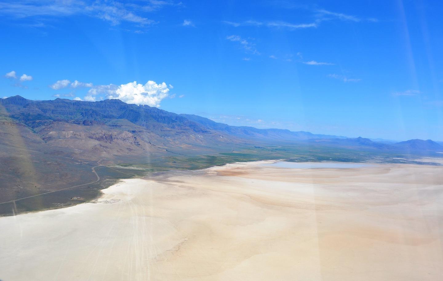
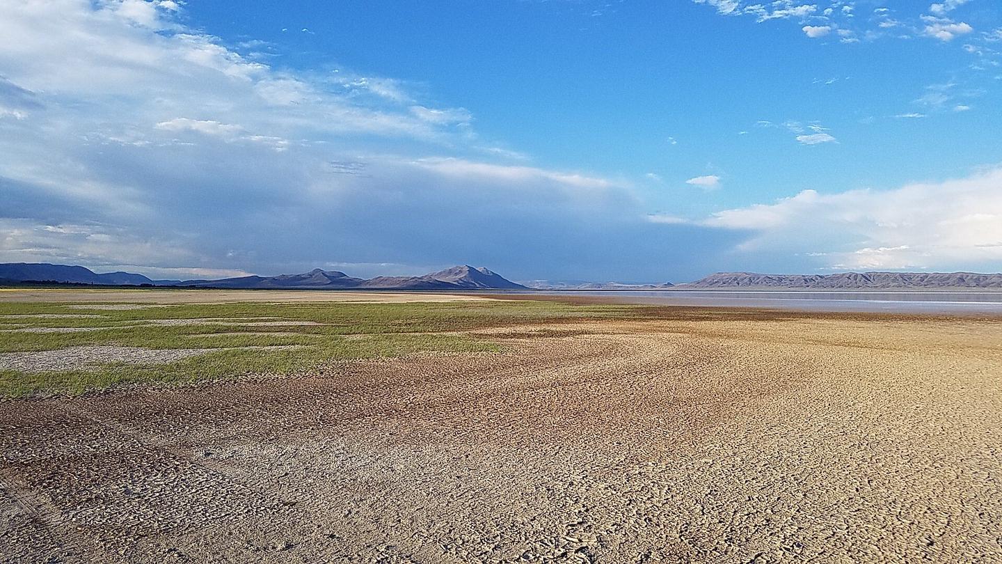
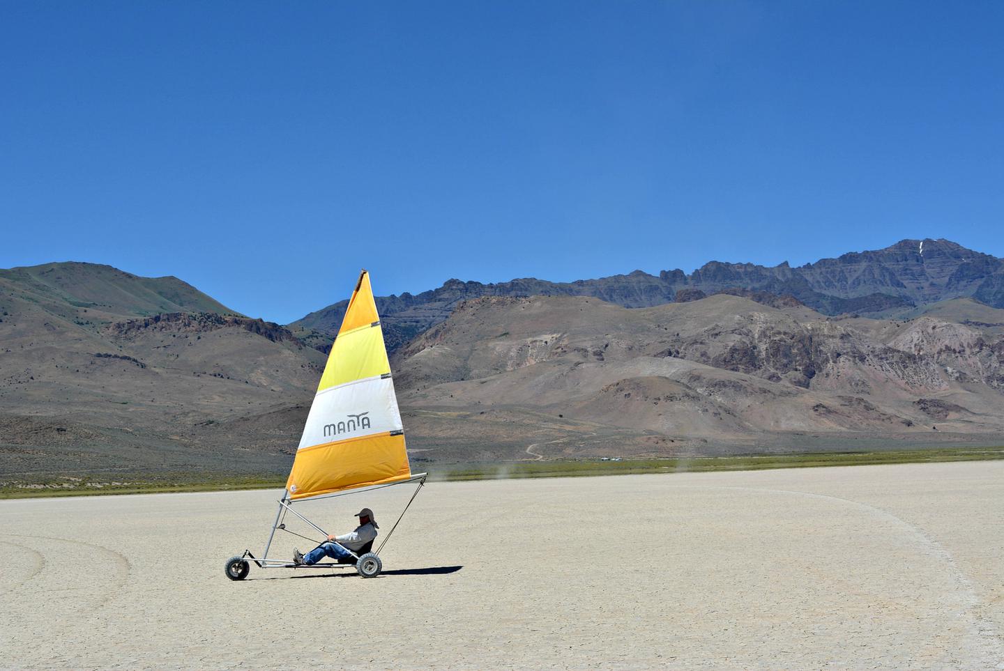
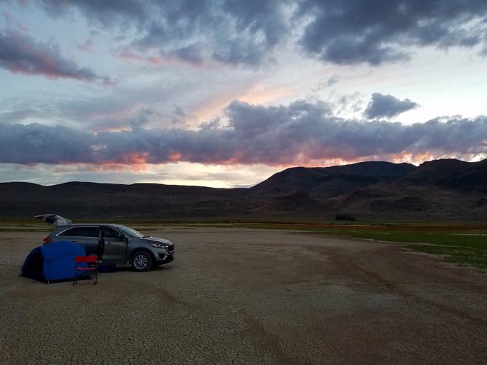
While Steens Mountain looms to the west, the shimmering salt flats of the Alvord Desert unfold to the east. Tens of thousands of years ago, a lake almost 200 feet deep covered the Alvord Desert and extended southward into Nevada. The old shoreline forms terraces along the edge of the valley, and deep under the desert floor are the same lava flows that make up the top of Steens Mountain. The Alvord Desert playa can be either wet or dry depending on the time of year and is one of the largest playas in Oregon—six miles wide and 11 miles long. That means plenty of room for setting up a tent and peering up at the stars in the sky! It is a popular venue for land sailing, glider flying, land kiteboarding, and camping, among many other outdoor pursuits.
Know Before You Go
- The Alvord Desert is accessible year-round; however, ideal conditions exist June through November, when the playa is usually dry enough for vehicular travel.
- Do not drive anywhere that is wet or even looks slightly wet. The Alvord Desert playa is made of fine clay sediments that become incredibly slick when damp. What looks like a harmless puddle can quickly turn into thick, sticky mud that will trap your vehicle with little warning. Getting stuck out here is no joke and a tow bill from this remote location can be hefty. Don’t risk it. If in doubt, stay off.
- With no potable water, cell phone service, or designated camping areas, travelers should bring their own conveniences and plan on a barren, open air adventure.
- Bring your own shade, shelter, and water, and tie everything down. Strong winds are common, and weather conditions are often unpredictable.
- The nearest town is Fields, Oregon, approximately one hour south. Food and fuel are available here; however, contact the Fields Station for current hours of operation.
- Pack it out: A single vault restroom at Frog Springs, squeezed between the playa and East Steens Road, is the only public facility available as far as the eye can see. There are NO other amenities. Plan on packing in ONLY what you can pack out—including human and pet waste. Did you know “pack it out” means “pack it all the way out to where you brought it from”? Please recreate responsibly!
- Use permit: Before you set up your own mini-Burning Man event or open-air concert on public land, know that some events and activities—like these—require a special use or film permit. Would you like to hold your wedding, a competitive race or speed event, an overland vehicle rally, a “light show,” or any other large gathering on the Alvord Desert? You may need a special recreation permit. Are you planning a photography shoot, complete with people and/or props, on the Alvord Desert? Do you want to film a commercial, advertisement, or movie clip on public land? You may need a film permit.
Point of Interest
There are public and private hot springs in the area. The 10-acre Borax Lake and its adjacent hot spring are among the naturally heated water features in the region, though not suitable for swimming due to the area's status as a biological reserve. Borax Lake is a remnant of a once-vast lake ecosystem that stretched across southeastern Oregon. Despite the water carrying an unusually high concentration of dissolved borate, it is home to the endangered Borax Lake chub. Another geothermal site, Mickey Hot Springs, is located approximately 15 miles northeast of the Alvord Desert and worth a visit. While the pools are far too hot for soaking (please keep pets and children a safe distance away), a short walk leads visitors past steam vents, boiling mud pots, and several crystal-blue pools.
Things to Do at Alvord Desert
Recreation Activities
Popular activities at Alvord Desert include:
Nearby Activities
- Accessible Facility or Activity
- Camping
- Dispersed Camping
- Mountain Biking
- Photography
- Star Gazing
- Wildlife Viewing
Plan Your Visit
Getting There
From Burns, Oregon, take State Highway 78 southeast for approximately 65 miles. Turn right (south) onto the East Steens Road (also known as Folly Farm Road) and travel southwest for approximately 40 miles. Turn left (east) onto the Frog Springs Access Road to get onto the playa.
GPS Coordinates: 42.55979000000000, -118.53283000000000
Contact & Resources
Additional Information: