Kenai Wilderness
Overview
Kenai Wilderness is managed by Fish and Wildlife Service and is located near Soldotna, Alaska.
The Kenai Wilderness now contains a total of 1,354,247 acres and is managed by the Fish & Wildlife Service's Kenai National Wildlife Refuge. All of the Wilderness is in the state of Alaska. In 1980 the Kenai Wilderness became part of the now over 110 million acre National Wilderness Preservation System.
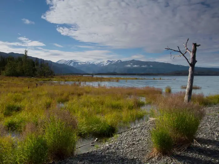
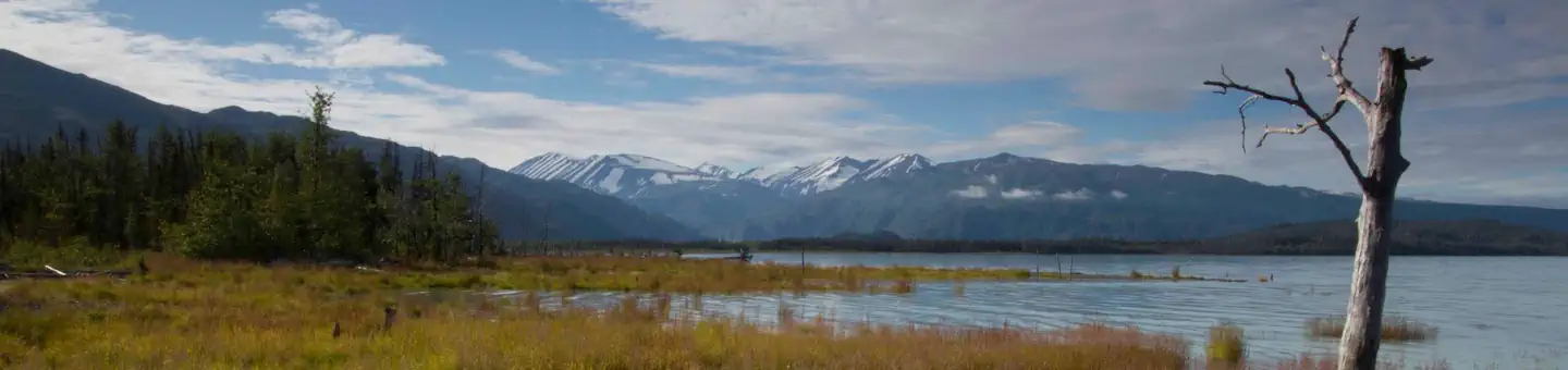
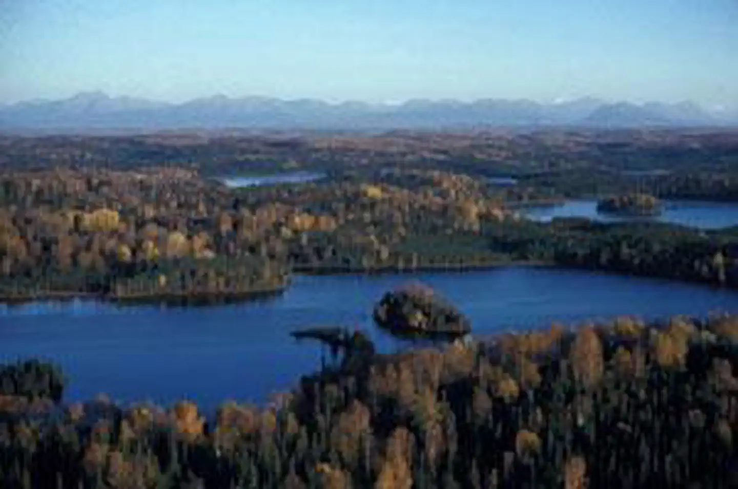
For almost 100 years, the Kenai Peninsula has attracted hunters of moose, Dall sheep, and other wild game. In 1941 President Roosevelt designated more than 1.7 million acres as the Kenai National Moose Range. In 1980 the Moose Range was expanded to almost two million acres, renamed the Kenai National Wildlife Refuge, and well over half of it was designated Wilderness. The area comprises the western slopes of the Kenai Mountains with their ancient glaciers rising to 6,612 feet, nine river systems (many originating from the expansive Harding Ice Field), and the spruce-birch lowland forest that extends to the shores of Cook Inlet. Unlike most of Alaska's wildlands, Kenai lies near Anchorage and draws scores of human visitors to its scenic grandeur (only 17 wildlife refuges in the entire United States receive more visitors). More than 200 miles of established trails give access to much of the backcountry. Hundreds of splendid small lakes are accessible through a system of canoe trails, including the popular Swanson River Canoe Trail. Fishing brings many people to the area, including fly-ins to more remote lakes. Motorized boats are allowed on the larger lakes but not on the canoe trails. Kenai produces an abundant crop of wild berries. Brown bears are relatively scarce here except in the less-visited places. Many species of mammals and birds call Kenai home. The howling of wolves often breaks the night stillness. Be prepared for insects.
Things to Do at Kenai Wilderness
Recreation Activities
Popular activities at Kenai Wilderness include:
Nearby Activities
- Wilderness
Plan Your Visit
Getting There
From Anchorage, drive 90 miles on the Seward Highway to the junction of the Sterling Highway. Turn west at Milepost 37 of the Sterling Highway and travel 18 miles to the eastern Refuge boundary at Milepost 55 of the Sterling Highway. In three more miles (Milepost 58, Sterling Highway), you find the Refuge Visitor Contact Station on the north side of the Sterling Highway, a self-serve information facility during summer months. On the south side of Sterling Highway at Milepost 58 is the eastern turn off for Skilak Lake Road. This 19 mile gravel loop road leads to Refuge hiking trails, campgrounds, and a scenic drive and then rejoins the Sterling Highway at Milepost 75. Whether you take the Skilak Lake Road or the Sterling Highway from Mile 58, you are approximately 40 miles from Soldotna and the Refuge Visitor Center. To find the Refuge Visitor Center when you arrive in Soldotna, travel to mile 95 of the Sterling Highway, crossing the Kenai River Bridge. Once you cross the river, immediately get in the far left turn lane and make a left on to Funny River Road. As soon as you are on Funny River Road, prepare for an immediate right turn on to Ski Hill Road. Ski Hill Road is gravel, and you will drive one mile up the hill and make a left turn on to a paved road leading to the Visitor Center. Call 907-262-7021 for more information and for current hours of operation.
GPS Coordinates: 60.46464400000000, -151.07337500000000
Contact & Resources
Phone: 877-285-5628 or 907-262-7021
Additional Information: