King Range Wilderness
Overview
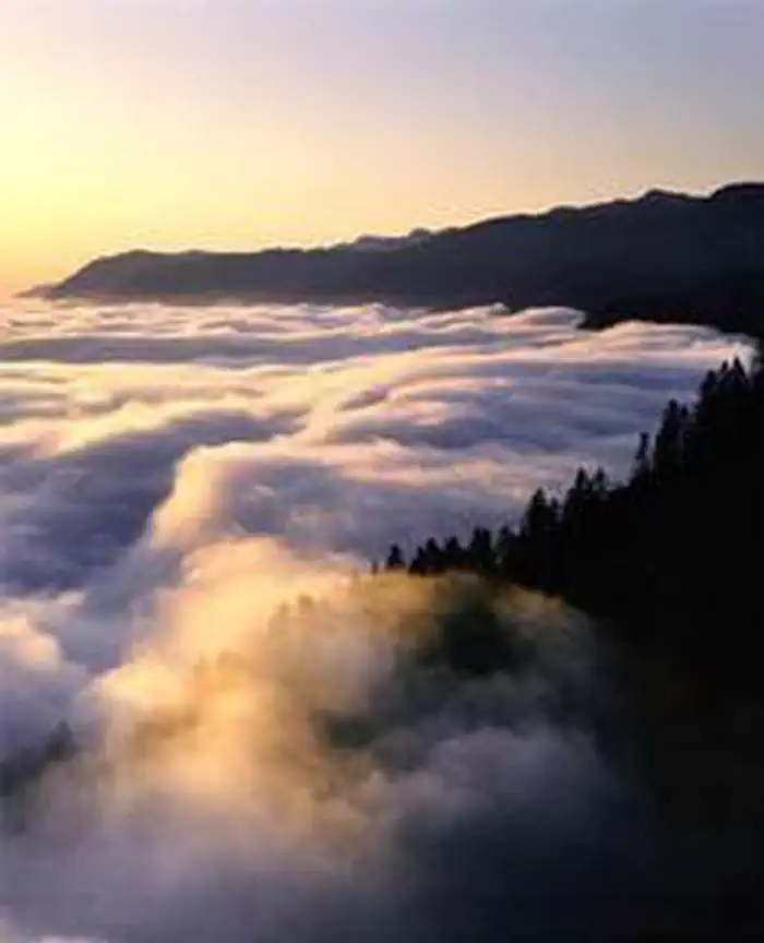
King Range Wilderness is managed by Bureau of Land Management and is located near Petrolia, California.
The King Range Wilderness now contains a total of 42,694 acres and is managed by the Bureau of Land Management. All of the Wilderness is in the state of California. In 2006 the King Range Wilderness became part of the now over 109 million acre National Wilderness Preservation System. In wilderness, you can enjoy challenging recreational activities and extraordinary opportunities for solitude. In an age of "...increasing population, accompanied by expanding settlement and growing mechanization,..." you play an important role in helping to "...secure for the American people of present and future generations the benefits of an enduring resource of wilderness" as called for by Congress in the Wilderness Act of 1964. Please follow the regulations in place for this area, and use Leave No Trace techniques when visiting to ensure protection of its unique natural and experiential qualities.
How to follow the seven standard Leave No Trace principles differs in different parts of the country (desert vs. Rocky Mountains). Click on any of the principles listed below to learn more about how they apply.
Leave No Trace principles:
- Plan Ahead and Prepare
- Travel and Camp on Durable Surfaces
- Dispose of Waste Properly
- Leave What You Find
- Minimize Campfire Impacts
- Respect Wildlife
- Be Considerate of Other Visitors
Regulations:
Motorized equipment and equipment used for mechanical transport are generally prohibited on all federal lands designated as wilderness. This includes the use of motor vehicles (including OHVs), motorboats, motorized equipment, bicycles, hang gliders, wagons, carts, portage wheels, and the landing of aircraft including helicopters, unless provided for in specific legislation. In a few areas some exceptions allowing the use of motorized equipment or mechanical transport are described in the special regulations in effect for a specific area. Contact the agency for more information about regulations.
Things to Do at King Range Wilderness
Permits & Passes
Special permits are required for certain activities. Reserve your permits in advance to ensure access to popular areas.
Recreation Activities
Popular activities at King Range Wilderness include:
Nearby Activities
- Wilderness
Plan Your Visit
Reservation Tips
King Range Wilderness is a popular destination. Check individual facility pages for specific booking windows and availability.
Getting There
The King Range National Conservation Area (NCA) is located about 230 miles north of San Francisco and 60 miles south of Eureka. All roads leading to the King Range NCA are narrow, steep and winding. Allow plenty of time between destinations, have a full tank of gas, and be alert to oncoming traffic. All main roads are normally accessible to passenger cars except during heavy winter storms. Primitive roads may be closed seasonally. Directional signs mark all major intersections in the King Range NCA giving the road name and distances to primary recreation sites. NORTH ACCESS: U.S. 101 to the Ferndale exit. Once in Ferndale, follow signs to Petrolia. One mile past Petrolia, turn right on Lighthouse Road; it is 5 more miles to the Mattole Recreation Site. Allow 1 1/2 hours for the 42 mile trip. CENTRAL ACCESS: U.S. 101 to South Fork - Honeydew exit. Follow the signs to Honeydew (23 Miles). Turn left in Honeydew to Honeydew Creek Recreation Site and Smith-Etter Road. Allow 1 hour for the 24 mile trip. Turn right to Mattole Beach and Trailhead. Allow 45 minutes for the 18.5 mile trip. SOUTH ACCESS: U.S. 101 to the Redway/Garberville exit. Follow signs to Shelter Cove/King Range NCA. Allow 45 minutes for the 22 mile trip to Shelter Cove.
GPS Coordinates: 40.15821800000000, -124.16773999999999
Contact & Resources
Phone: 707-986-5400