Orocopia Mountains Wilderness
Overview
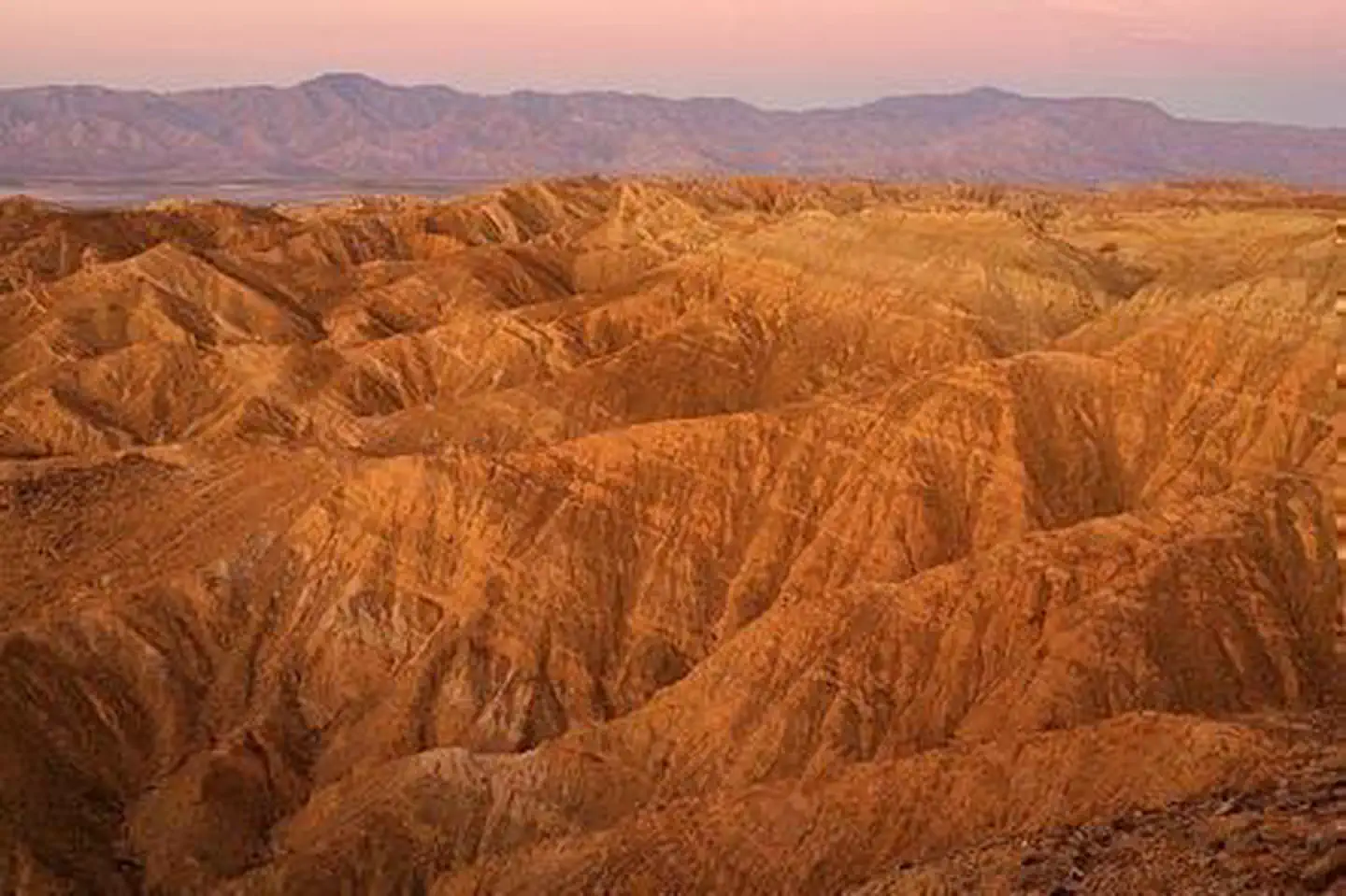
Orocopia Mountains Wilderness is managed by Bureau of Land Management and is located near Blythe, California. The western boundary of the Orocopia Mountains Wilderness is contiguous with the Mecca Hills Wilderness with the exception of the Meccacopia Jeep Trail, which bisects the two wilderness areas. The forces of nature have produced a striking landscape here where open valleys, ridges and highly colorful and dramatically eroded canyons are the result of the region's proximity to the San Andreas fault system. Deep canyons and washes cut across the entire area, exposing walls of color shaded from bright red to black. Bighorn sheep, burro deer, desert tortoise and many small upland game species live among the mountains. The spiny-leaved Orocopia sage, Alverson's foxtail cactus, Orcutt's woody aster and the Mecca aster grow unexpectedly in washes, on stony slopes and in gypsum soils. Orocopia Mountains Wilderness is administered by BLM's Palm Springs-South Coast Field Office.
Things to Do at Orocopia Mountains Wilderness
Recreation Activities
Popular activities at Orocopia Mountains Wilderness include:
Nearby Activities
- Camping
- Hiking
- Horseback Riding
- Hunting
- Photography
- Wilderness
- Wildlife Viewing
Plan Your Visit
Getting There
Riverside County; 20 miles southeast of Indio, California. Interstate 10 provides access to the wilderness from the north, State Highway 195 (Box Canyon Road) from the west and the Chiriaco Summit exit south along the Red Canyon four-wheel drive trail. The Bradshaw Trail provides access from the south.
GPS Coordinates: 33.59869500000000, -115.88986500000000
Contact & Resources
Phone: 760-833-7100
Additional Information: