Angeles Crest Scenic Byway (Route 2)
Overview
Angeles Crest Scenic Byway (Route 2) is managed by Department of Transportation.
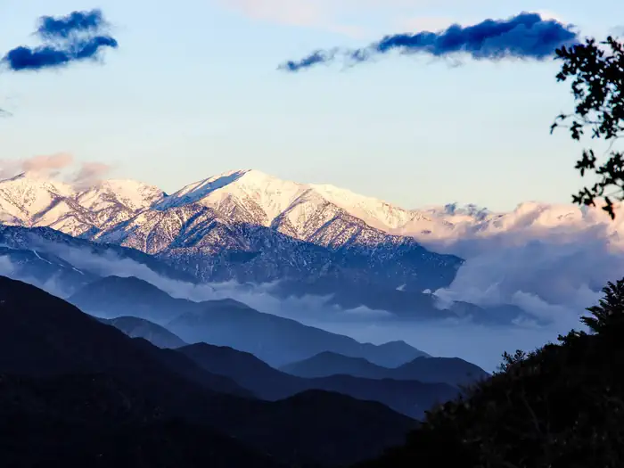
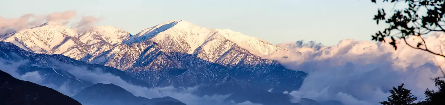
The Angeles Crest Highway offers a scenic, secluded getaway, the entrance of which is only minutes from the city of Los Angeles. The other end of the highway is less than 10 miles from interstate 15, offering a scenic alternative for navigating to the big city. The highway, as it winds along the San Gabriel Mountains, offers spectacular views of nearby mountains and valleys. Several vista points along the road offer the traveler expansive views of the Mojave Desert, the San Gabriel Mountains, and the San Gabriel and Pomona Valleys.
Escape from the Megalopolis
The highway climbs from around 1,500 feet at one end in La Canada, to 7,901 feet at its highest point at Dawson Saddle. Many travelers consider the drive the most scenic in Southern California. Mt. Wilson and the Mt. Wilson observatory are accessible from the byway, offering fantastic views of the Los Angeles Basin on those rare, clear days. The byway also provides access to many trails and camping areas in the forest. For the traveler who has yet to experience the many natural wonders around Los Angeles, the Angeles Crest Scenic Highway offers rewarding proof that wilderness and natural beauty are only minutes from the Los Angeles metropolis.
Things to Do at Angeles Crest Scenic Byway (Route 2)
Plan Your Visit
Getting There
Navigating the Byway:
The Angeles Crest Scenic Highway runs 55 miles across California Route 2, from La Canada, north of Los Angeles, to the San Bernadino County line, just west of the resort town of Wrightwood.
From La Canada:
- Enter Route 2 from Highway 210 in La Canada
- From La Canada, Route 2 heads north, up and into the San Gabriel Mountains
- About 15 miles later the byway passes the entrance to Red Box Road, access to Mt. Wilson and the Mt. Wilson Observatory
- The corridor continues to the northeast, eventually passing some ski areas, and crossing into San Bernadino county, the official end of the byway
- Route 2 continues on through the town of Wrightwood, to its intersection with Route 138
- Driving south on Route 138 provides access to Interstate 15
- Driving north on Route 138 eventually brings the traveler to Palmdale
Contact & Resources
Additional Information: