Florida Black Bear Scenic Byway
Overview
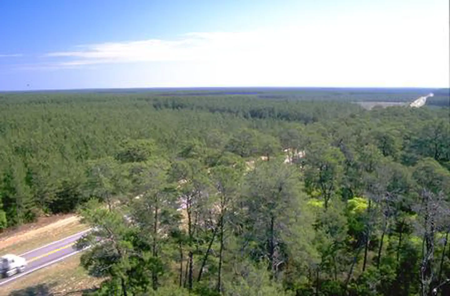
Florida Black Bear Scenic Byway is managed by Department of Transportation. Connecting Silver Springs with the city of Ormond Beach, the Florida Black Bear Scenic Byway is filled with long, undisturbed stretches of natural Florida and pine-scented air. See an array of wildlife in the Ocala National Forest, the centerpiece of the byway. Designated in 1908 by President Theodore Roosevelt, the forest is home to rare and endangered plants and animals found nowhere else. It is also home to huge springs that discharge incredible amounts of cool, crystalline water that feed clear streams lined with lush subtropical vegetation. Visitors often come to camp, swim, canoe, kayak, and even scuba dive. Located west of the Ocala National Forest is the Silver Springs Park, one of the largest spring systems in the world. It is famous for its signature glass bottom boats, where you can ferry across the springs and take a look at the life below. Catch a glimpse of the beautiful views given by the Ocklawaha, St. Johns, and Tomoka Rivers; motorcycle along with the cycling clubs that regularly use the byway for long distance rides; hike the Florida National Scenic Trail; or enjoy the 28 developed recreation sites in the Ocala National Forest.
Things to Do at Florida Black Bear Scenic Byway
Plan Your Visit
Getting There
Getting to the Byway:
Palatka, FL
* From the intersection of State Road 20 and State Road 19 in Palatka, head south on State Road 19 for seven miles to the intersection of State Road 19 and Buckman Lock Road.
* This is the northern terminus of the North State Road 19 Spur of the Florida Black Bear Scenic Byway.
Umatilla, FL
* From the intersection of Lake County Road 450 (Ocala St.) and State Highway 19 in Umatilla, proceed north on State Road 19 for 4.75 miles.
* You are now on the South State Road 19 Spur of the Florida Black Bear Scenic Byway.
* The location is marked with a Florida Scenic Highway sign.
Navigating the Byway:
The Florida Black Bear Scenic Byway consists of the byway itself, two spurs, and a loop.
To travel the SR 40 part of the byway (60.5 miles):
* Start the byway at the intersection of State Road (SR) 40 and SR 35 approximately one-half mile east of the city limits of the City of Ocala.
* From Ocala, travel east on State Road 40 into the Ocala National Forest.
* In the Ocala National Forest, State Road 40 turns into Fort Brooks Road.
* Leaving the Ocala National Forest, Fort Brooks Road turns back into SR 40.
* The byway ends near the intersection of SR 40 and Interstate 95 in the City of Ormond Beach.
To travel the northern spur of the byway (32.3 miles):
* Start at the intersection of SR 19 and SR 40 in Ocala National Forest.
* Travel north on SR 19 for 32.3 miles to the intersection of SR 19 and Buckman Lock Road, where the spur ends.
To travel the southern spur of the byway (2.5 miles):
* Instead of turning north on SR 19 at the intersection with SR 40, turn south.
* Follow SR 19 south through the Ocala National Forest.
* The terminus of the south SR 19 spur is located at the southern boundary of the Ocala National Forest.
To travel the Alexander Springs Loop of the byway (20.9 miles):
* Begin at the intersection of SR 40 and SR 19.
* Follow SR 19 south from SR 40 for 9.4 miles to the intersection with Lake County Road 445.
* Follow Lake County Road 445 east and north for 11 miles to the intersection with Lake County Road 445-A.
* Take Lake County Road 445-A northeast for 0.5 miles to the intersection with SR 40.
* The intersection of Lake County Road 445-A with SR 40 is located 4.8 miles east of the intersection of SR 40 and SR 19.
The 7.2 mile Fort Gates Ferry Spur is used to provide access to the historic ferry crossing on the St. Johns River. It is unpaved and consists of US Forest Service Road 43. The spur begins at the intersection of Forest Road 43 and the North State Road 10 Spur in Salt Springs, and runs north and east to the St. Johns River.
Contact & Resources
Additional Information: