Talladega Scenic Drive
Overview
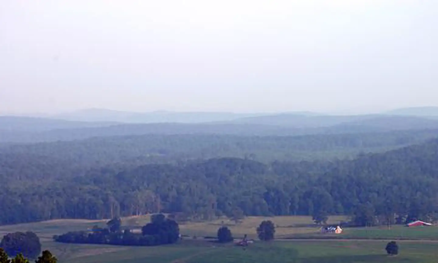
Talladega Scenic Drive is managed by Department of Transportation. Talladega Drive offers a bird's-eye view of scenic mountains, rock outcroppings, and small rural settlements within the Talladega National Forest. Heading towards Cheaha State Park and Alabama's highest peak, with an elevation of 2,407 feet, travel the backbone of Horseblock and Cheaha Mountains, the southernmost extension of the Appalachian Mountains.
Things to Do at Talladega Scenic Drive
Plan Your Visit
Getting There
Getting to the Byway:
Atlanta, GA
* Take I-20 west towards Birmingham.
* Take exit 199 and turn right onto SR 9.
* Turn left on SR 4/SR 78/SR 9.
* After about 3 miles turn right, then take your first right to the beginning of Talladega Scenic Drive.
Navigating the Byway:
* Begin at the intersection of US 78 and SR 281, just west of Heflin.
* Follow SR 281 through the Talladega National Forest and the Cheaha Wilderness area.
* End where the pavement ends when SR 281 meets Adams Gap Rd and Forest Rd 600.
Contact & Resources
Phone: 256-463-2272
Additional Information: