Castle Gardens Petroglyph Site
Overview
Castle Gardens Petroglyph Site is managed by Bureau of Land Management and is located near Riverton, Wyoming. The Castle Gardens Petroglyph Site is located in central Wyoming approximately 45 miles east of Riverton.
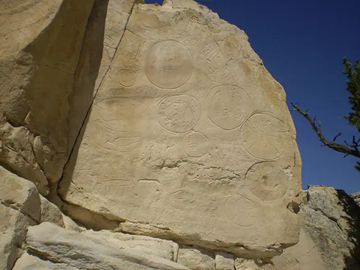
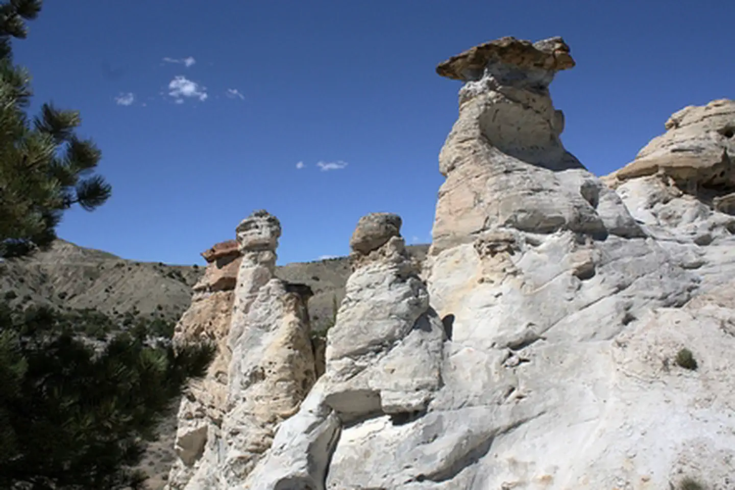
The name of the area comes from the outcropping of sandstone which the wind has eroded into fanciful shapes resembling the turrets and towers of castle. This unusual formation has been luring visitors for thousands of years, and many of them left their mark in the soft sandstone--the area holds a treasure of Native American rock art, or petroglyphs.
Improvements to the site have been made over the past several years to enhance the experience and to better protect the petroglyphs. A fine crushed gravel walking trail exist throughout the site, foot bridges to ease the crossing of deep drainages and a new parking area.
Future work at Castle Gardens will include new interpretive panels and benches for enjoying the view. All of these improvements are designed to reduce the amount of vandalism through increased understanding of the site and better visitor facilities.
The road is somewhat rough most of the year, especially the county road section of the Casper route, so high-clearance, four-wheel-drive vehicles are recommended.
Things to Do at Castle Gardens Petroglyph Site
Recreation Activities
Popular activities at Castle Gardens Petroglyph Site include:
Nearby Activities
- Hiking
- Historic & Cultural Site
- Photography
- Wildlife Viewing
Plan Your Visit
Getting There
From Casper, Castle Gardens can be accessed by taking U.S. Hwy. 20/26 78 miles west to Castle Garden Rd just before Moneta. Take a left at the Castle Gardens sign and drive approximately 15 miles south. You will reach another BLM sign that directs you east for another 6 miles to Castle Gardens. From Riverton, take Wyoming State Hwy. 136 east for approx. 38 miles, then turn north on to Castle Gardens Rd and head north for 6 miles. You will reach another BLM sign that directs you east 6 miles to Castle Gardens. The road is somewhat rough most of the year, especially the county road section of the Casper route, so high-clearance, four-wheel-drive vehicles are recommended.
GPS Coordinates: 42.92930000000000, -107.61369999999999
Contact & Resources
Phone: 307-382-8400
Additional Information:

