Condon Peak
Overview
Condon Peak is managed by Bureau of Land Management and is located near Coalinga, California.

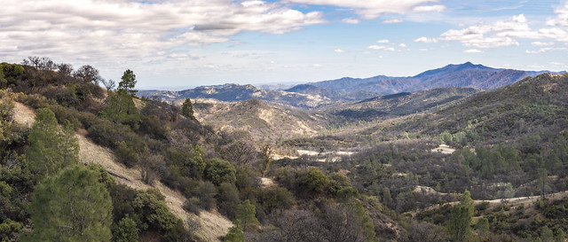
Located on the outskirts of the Clear Creek Management Area (CCMA), Condon Peak offers rolling grass-covered slopes with a few tall pines and shrubs, as well as steep slopes and rocky outcrops covered with pine and brush. With the opening of the summer deer-hunting season, Condon Peak experiences a surge in public use.
Things to Do at Condon Peak
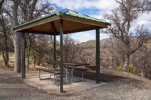
Recreation Activities
Popular activities at Condon Peak include:
Nearby Activities
- Auto Touring
- Biking
- Camping
- Hiking
- Horseback Riding
- Hunting
- Photography
- Wildlife Viewing
Plan Your Visit
Getting There
From Hollister go south on State Highway 25 and turn left at Coalinga Road heading east. Continue approximately 21 miles to the Access point on your left at the San Benito-Fresno County line.
GPS Coordinates: 36.29346300000000, -120.68231000000000
Contact & Resources
Phone: 831-582-2200
Additional Information: