Burr Point Overlook
Overview
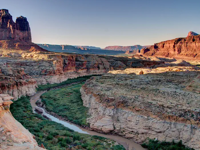
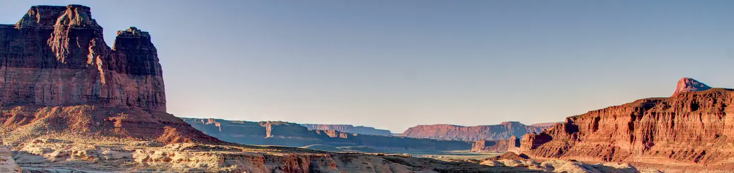
Burr Point Overlook is managed by Bureau of Land Management and is located near Hanksville, Utah. The dirt access route runs easterly across the Burr Desert flat lands ending at the cliff tops of the Dirty Devil River. Views across, up, and down the canyon are stunning and have as backdrops the Abajos, the La Sal, and the Henry Mountains. Burr Point Overlook is also occasionally used as a trailhead to access the Dirty Devil River. This access however has been described as challenging, techincal, and risky. There are no developed facilities at Burr Point Overlook.
Things to Do at Burr Point Overlook
Recreation Activities
Popular activities at Burr Point Overlook include:
Nearby Activities
- Auto Touring
- Hiking
- Photography
Plan Your Visit
Getting There
11 miles east of State Route 95 at milepost 17
GPS Coordinates: 38.17181100000000, -110.46207900000000
Contact & Resources
Phone: (435) 542-3461