Cedar Mesa Srma
Overview
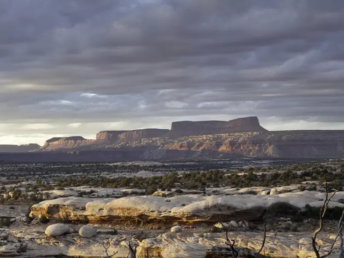
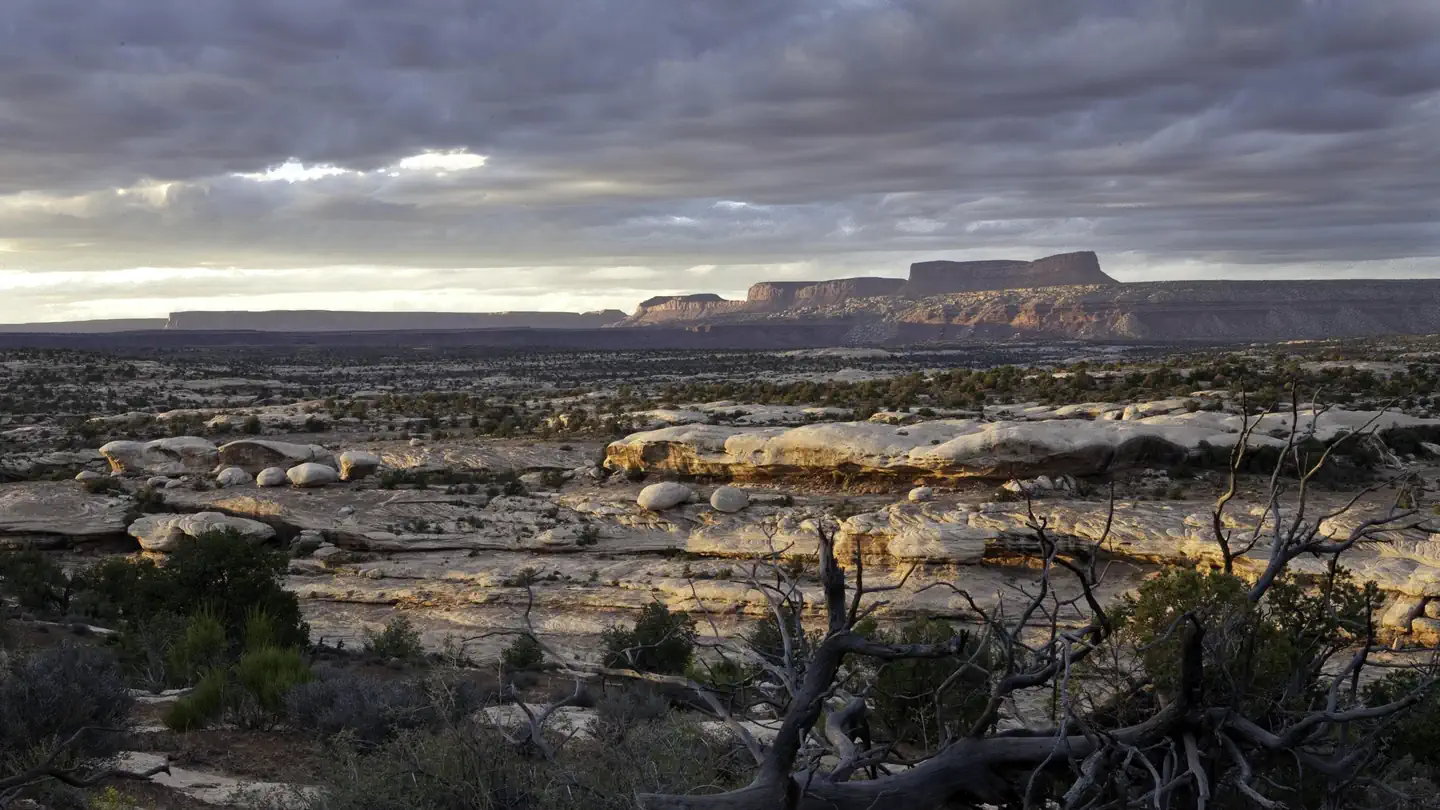
Cedar Mesa Srma is managed by Bureau of Land Management and is located near Blanding, Utah. Cedar Mesa is a popular area for hiking and backpacking to see Ancestral Puebloan cliff ruins and rock art in a natural setting. Many miles of spectacular canyons lined with cliffs cut across the mesa. Some ruins are amazingly inaccessible, perched high on ledges and under overhangs. On its eastern edge the mesa's caprock dips sharply downward toward Comb Wash. Many canyons cut through this area. Other attractions include the scenery and wildlife, as well as the solitude of desert canyons.
Things to Do at Cedar Mesa Srma
Recreation Activities
Popular activities at Cedar Mesa Srma include:
Nearby Activities
- Auto Touring
- Camping
- Diving
- Hiking
- Horseback Riding
- Photography
- Wildlife Viewing
Plan Your Visit
Getting There
Access to the area is from State Highway 95 (SR 95) between Blanding and Hite, or on SR 261 between SR 95 and Mexican Hat. The Kane Gulch Ranger Station is on SR 261 about four miles south of the junction with SR 95.
The trailhead is located adjacent to the Kane Gulch ranger station which has a paved parking lot and restroom. Dirt roads lead to many trailheads at the heads of canyons and at the mouths of some canyons draining off the east side of the mesa into Comb Wash. Many of these roads can be recommended only for high clearance vehicles. Detailed maps showing road access are available at the offices of the BLM or the U.S. Forest Service in Monticello, at the Blanding Visitor Center, the Monticello Multi-Agency Visitor Center or the Moab Information Center, and at the Canyonlands Natural History Association.GPS Coordinates: 37.52444600000000, -109.89577700000000
Contact & Resources
Phone: 435-587-1500