Delaney Creek
Overview
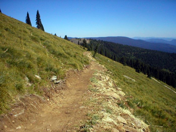
Delaney Creek is managed by Bureau of Land Management and is located near Clarkia, Idaho. The Delaney Creek National Recreation Trail is part of a 45 mile trail network that provides access through the Widow Mountain Wilderness Study Area. The trail is 4.25 miles one way with an elevation range of 4400-6400 feet. The area has an intermingled ownership and is jointly administered with the Forest Service. The trail descends steeply from a high open ridge through dense forest and intersects with the Marble Creek Trail. Historic features include remnants of logging camps and cabins.
Things to Do at Delaney Creek
Recreation Activities
Popular activities at Delaney Creek include:
Nearby Activities
- Hiking
Plan Your Visit
Getting There
26 miles east of Clarkia, ID. From Highway 3 at Clarkia take Forest Road 301 for 26 miles.
GPS Coordinates: 47.04474300000000, -115.94508000000000
Contact & Resources
Phone: 208-769-5000