Cathedral Hills Trail System
Overview
Cathedral Hills Trail System is managed by Bureau of Land Management and is located near Grants Pass, Oregon.
Remember your OUTDOOR ETHICS when enjoying your public lands. Please RECREATE RESPONSIBLY.
Overview
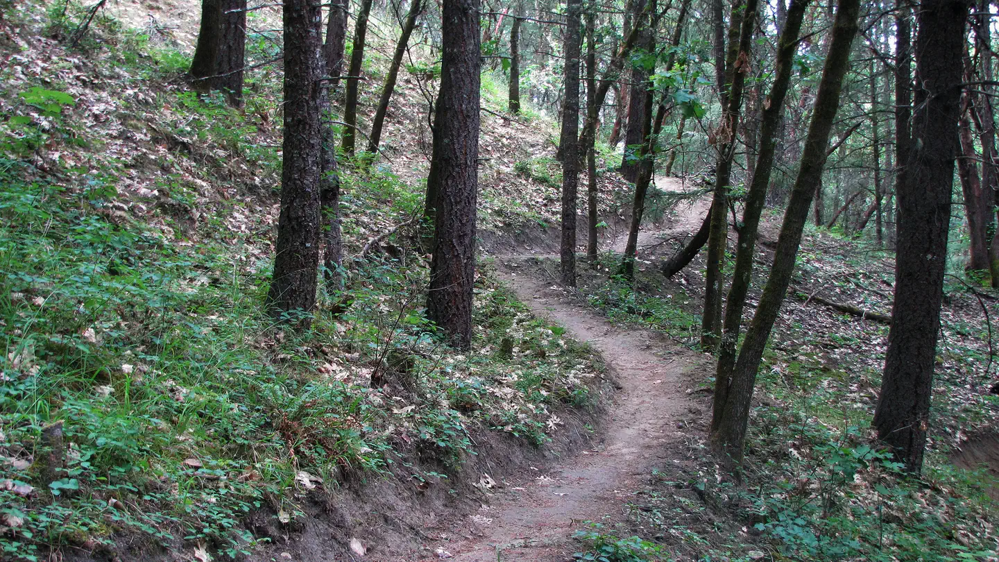
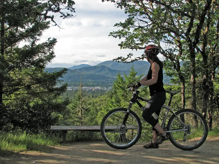
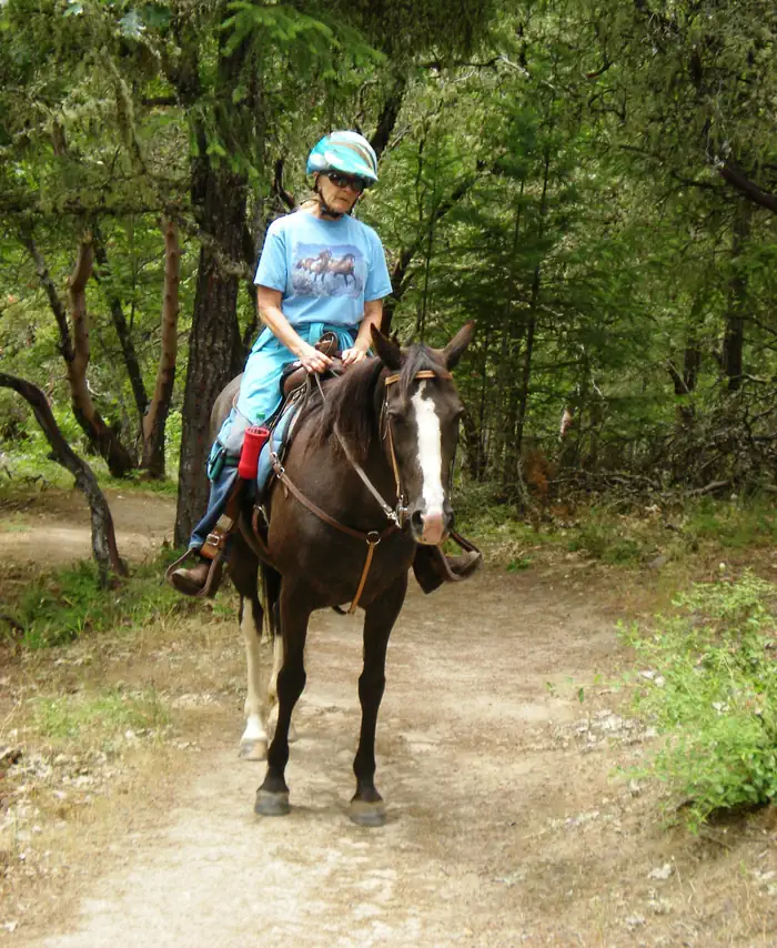
You never know who you might meet at Cathedral Hills! This 10-mile trail system is a haven for hikers, mountain bikers, horseback riders, and trail runners. Located minutes from downtown Grants Pass, the trails loop through 400 acres of Douglas-fir and ponderosa pine forests and provide views of the Rogue Valley and surrounding mountains. The system of connected trails allows you to tailor your experience to your fitness and skill levels—no matter what your mode of transportation may be. Abundant wildflowers and mild weather make spring a popular time to visit Cathedral Hills.
Know Before you Go:
- Open year-round.
- Day-use only.
- Three trailheads: Espey accommodates 10 vehicles plus 5 vehicles with horse trailers, Sky Crest accommodates 10 vehicles, and Walker accommodates 2 vehicles.
- Restrooms: Espey and Sky Crest trailheads.
- No drinking water.
- Please respect the private property boundaries surrounding the area.
- Watch for ticks, poison oak, rattlesnakes, and other trail users.
Point of Interest:
Cathedral Hills contains two trees on the Oregon Champion Tree Registry: a 25-foot-tall whiteleaf manzanita and a 117-foot-tall knobcone pine (also registered on Champion Trees Registry).
Helpful Links:
Things to Do at Cathedral Hills Trail System
Recreation Activities
Popular activities at Cathedral Hills Trail System include:
Nearby Activities
- Biking
- Hiking
- Horseback Riding
Plan Your Visit
Getting There
Espey Trailhead: From Highway 199, take Highway 238 south 2.8 miles. Left on Espey Road for 0.6 mile to trailhead.
Sky Crest Trailhead: From Highway 199, take Highway 238 south 0.2 mile. Left on Harbeck Road for 0.3 mile. Left on Grandview Avenue for 0.3 mile. Right on Sky Way; 0.7 mile to trailhead.
Walker Trailhead: From Highway 99, take Cloverlawn Drive south 2 miles. Right on Ponderosa Lane for 0.5 mile. Straight on Walker Road for 0.3 mile to trailhead.
GPS Coordinates: 42.39361000000000, -123.33359000000000
Contact & Resources
Phone: 541-471-6500
Additional Information: