Wertheim National Wildlife Refuge
Overview
Wertheim National Wildlife Refuge is managed by Fish and Wildlife Service and is located near Shirley, New York.
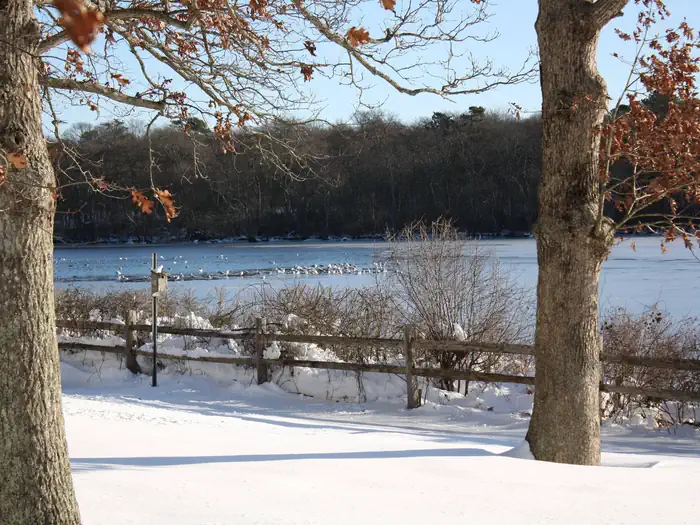
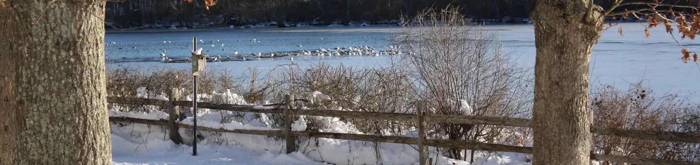
Established in 1947, Wertheim National Wildlife Refuge protects 2,550 acres on the south shore of Long Island. The refuge is bisected by the Carmans River, a New York state designated scenic river and one of the largest rivers on the island. Wertheim hosts a variety of habitats including oak-pine woodlands, grasslands and fresh, brackish and salt water wetlands. These habitats attract and support many types of wildlife including white-tailed deer, osprey, muskrat, fox, turtles, frogs and fish. The refuge also serves as a haven for waterfowl, shorebirds, raptors and songbirds. Wertheim is also home to the refuge complex headquarters and visitor center.
Things to Do at Wertheim National Wildlife Refuge
Recreation Activities
Popular activities at Wertheim National Wildlife Refuge include:
Nearby Activities
- Birding
- Boating
- Cross Country Skiing
- Educational Programs
- Fishing
- Hiking
- Historic & Cultural Site
- Hunting
- Interpretive Programs
- Non-Motorized Boating
- Photography
- Picnicking
- Snowshoeing
- Wildlife Viewing
Plan Your Visit
Getting There
- From the Long Island Expressway (I-495), take Exit 68S to William Floyd Parkway (CR 46S). Make a right onto Montauk Highway (CR 80W), followed by a left onto Smith Road. Follow Smith Road for approximately one-quarter mile (crossing over railroad tracks) – the Refuge entrance is on the right.
- From Sunrise Highway (NY 27E), take Exit 58S to William Floyd Parkway (CR 46S). Follow directions as above.
- The Long Island Rail Road’s Montauk Branch provides daily service from New York City to the Mastic-Shirley station approximately one mile east of the visitor center. From the station, walk south on Surrey Circle (across from the station entrance) to cross William Floyd Parkway at the pedestrian signal. Continue on Surrey Circle until it reconnects with Northern Boulevard and make a left. Turn left on Smith Road (where Northern Boulevard ends) and the refuge entrance will be 0.2 miles on your right. A limited number of bicycles are allowed on each train.
- Suffolk County Transit (SCT) provides bus service on Montauk Highway, located approximately one mile north of the Visitor Center. Riders on the 66 or 68 may walk one mile down Smith Road to the refuge. A limited number of bicycles are allowed on each bus.
GPS Coordinates: 40.79378530000000, -72.88085900000000
Contact & Resources
Phone: 631-286-0485
Additional Information: