Clarks Fork of The Yellowstone
Overview
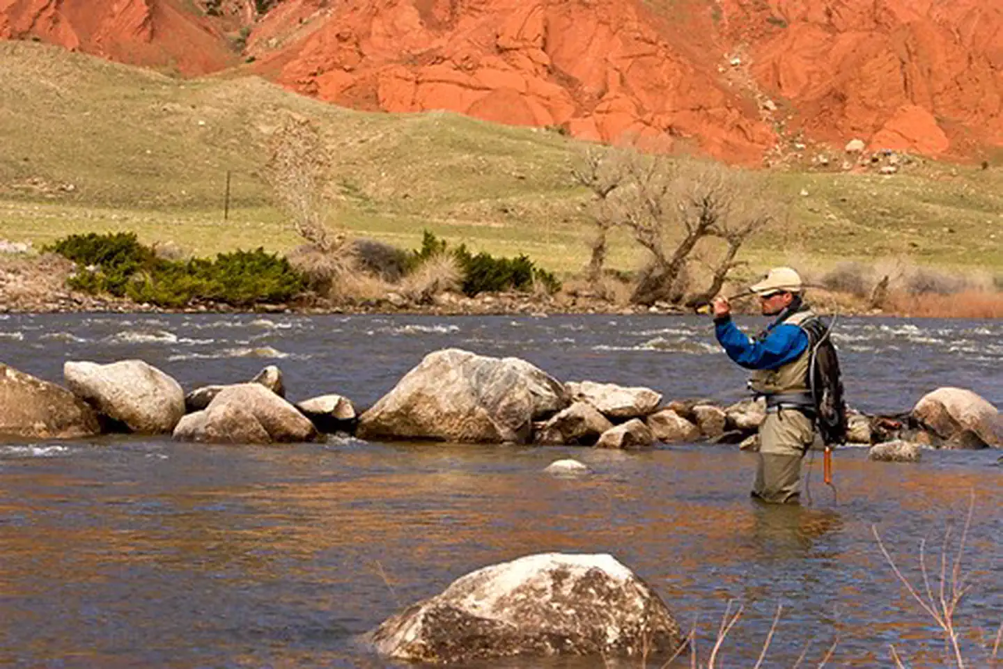
Clarks Fork of The Yellowstone is managed by Bureau of Land Management and is located near Cody, Wyoming. The Clarks Fork of the Yellowstone flows through the Shoshone National Forest through the awesome Clarks Fork Canyon into BLM-administered public lands, located just inside the mouth of the canyon.
The unparalleled landscape and recreational opportunities create an unforgettable experience. The area displays geology that is internationally studied, within the Nez Perce National Historic Trail, offers abundant fishing opportunities, and a popular access point to explore further into the Shoshone National Forest.
Things to Do at Clarks Fork of The Yellowstone
Recreation Activities
Popular activities at Clarks Fork of The Yellowstone include:
Nearby Activities
- Boating
- Environmental Education
- Fishing
- Hiking
- Horseback Riding
- Hunting
- Off Highway Vehicle
- Photography
- Wildlife Viewing
Plan Your Visit
Getting There
From Cody, Wyoming, drive north on the Belfry Highway (Wyoming State Highway 120) for approximately 29 miles and turn west on Clarks Fork Canyon Road (County Road 8VC). Head west on Clarks Fork Canyon Road for approximately 11 miles until you reach the mouth of the Canyon. There is adequate parking at the terminal of County Road 8VC, or you can drive down a very rugged two-track to gain closer access to the Clarks Fork River.
GPS Coordinates: 44.84880100000000, -109.30586300000000
Contact & Resources
Phone: (307) 578-5900
Additional Information: