N.F. Shoshone
Overview
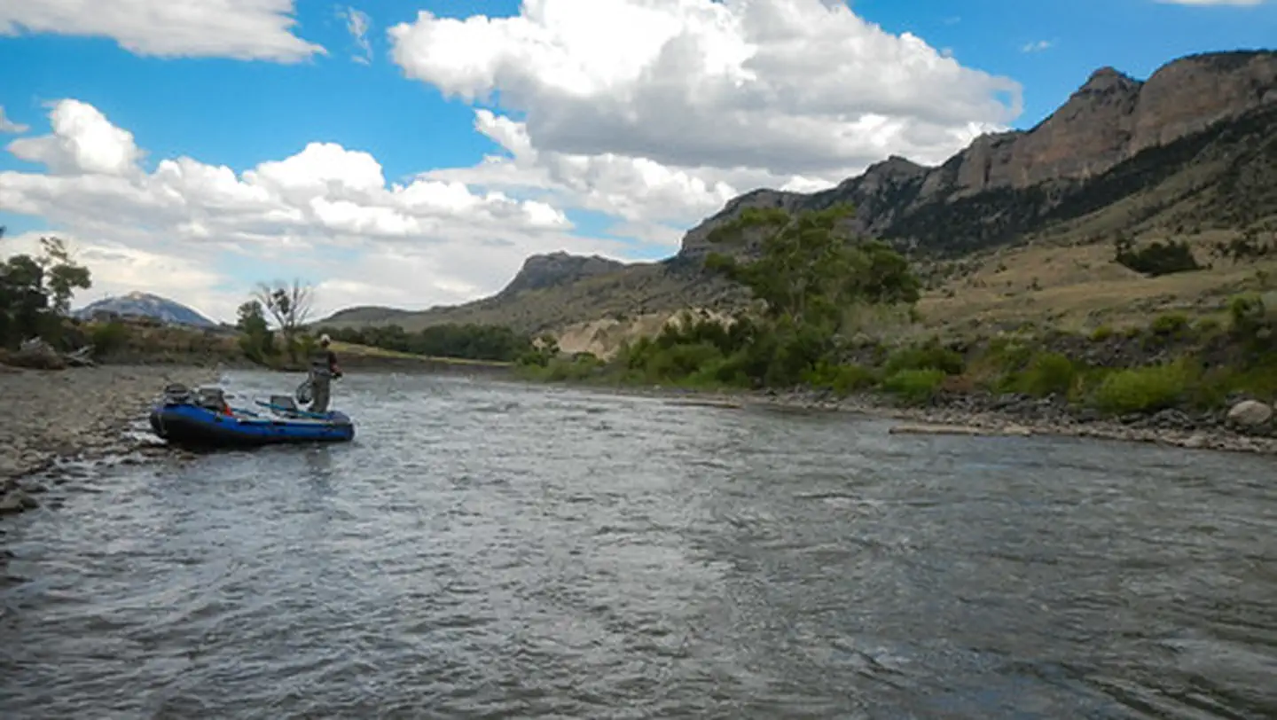
N.F. Shoshone is managed by Bureau of Land Management and is located near Cody, Wyoming. The North Fork Shoshone River begins its journey on the slopes of Stinkingwater Peak high in the Absaroka Mountains managed by the Shoshone National Forest and drains down the North Fork into Buffalo Bill Reservoir.
The North Fork Highway, the road to Yellowstone's East Gate, follows the North Fork from Buffalo Bill Dam Visitor Center all the way to Pahaska.
The BLM manages parcels of public accessible lands along the North Fork, which offers opportunities for fishing, boating, sightseeing, and hiking.
Things to Do at N.F. Shoshone
Recreation Activities
Popular activities at N.F. Shoshone include:
Nearby Activities
- Auto Touring
- Boating
- Fishing
- Wildlife Viewing
Plan Your Visit
Getting There
Head west on US Highway 14,16,20 out of Cody through the tunnels all the way to Pahaska.
GPS Coordinates: 44.50172000000000, -109.18440400000000
Contact & Resources
Phone: (307) 578-5900
Additional Information: