Santa Rosa Lake State Park
Overview
Santa Rosa Lake State Park is managed by New Mexico and is located near Santa Rosa, New Mexico. Santa Rosa, “the city of natural lakes," lies in the semiarid, upper Pecos River valley in Guadalupe County where numerous natural artesian-spring lakes abound. The U. S. Army Corps of Engineers, designers and builders of the dam, built an information center on the west side where exhibits describe the dam and various archaeological sites. The Santa Rosa dam was completed in 1979 and its main purpose is to conserve water from floods and for sedimentation control. The original name of the lake was “Los Esteros”, Spanish for “pond or estuary” but the name was changed in 1981 when it became a state park. This area was home for thousands of years to nomadic Native American tribes such as the Apache, Comanche, Kiowa, and Ute.
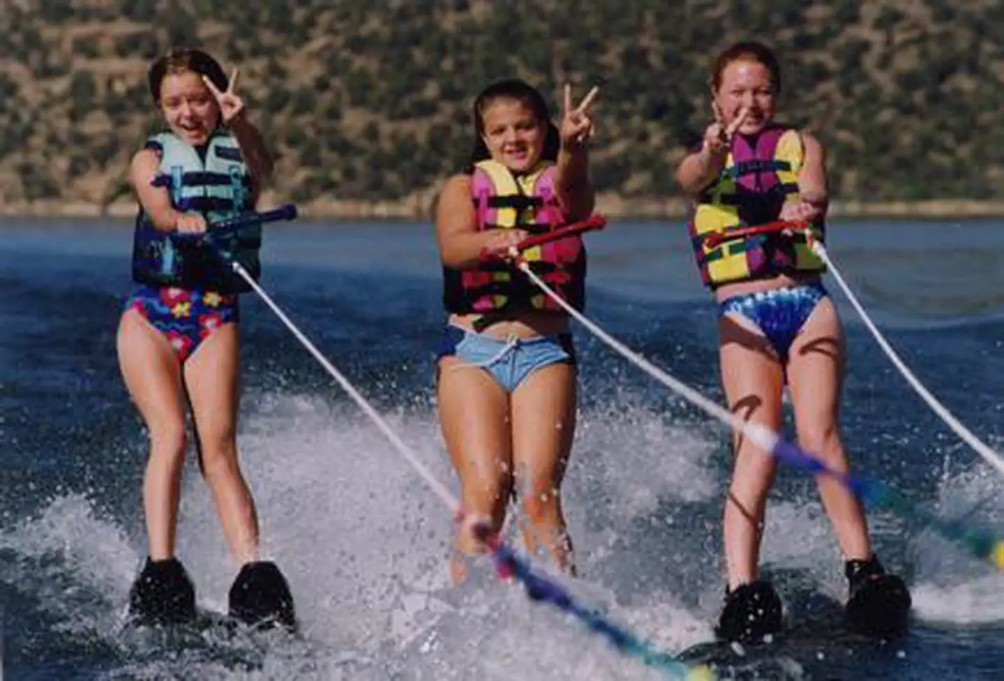
Santa Rosa State Park offers a visitor center, 75 developed campsites, 25 electric campsites, allows horseback riding, showers, group shelters, restrooms, dump stations, boating/boat ramps, fishing, playground, trails, and R.V. pull through sites. Santa Rosa Lake State Park also offers educational programs, please contact the park for detailed information.
Park Elevation is 4,751 ft.
Make a reservation on the New Mexico State Parks reservation website.
Things to Do at Santa Rosa Lake State Park
Plan Your Visit
Getting There
NM Highway 91
Santa Rosa, NM 88435
Make a reservation on the New Mexico State Parks reservation website.
GPS Coordinates: 35.03520000000000, -104.68510000000001
Contact & Resources
Phone: 575-472-3110
