Upper Klamath Wild and Scenic River
Overview
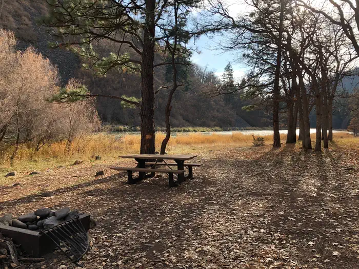
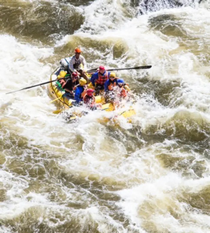
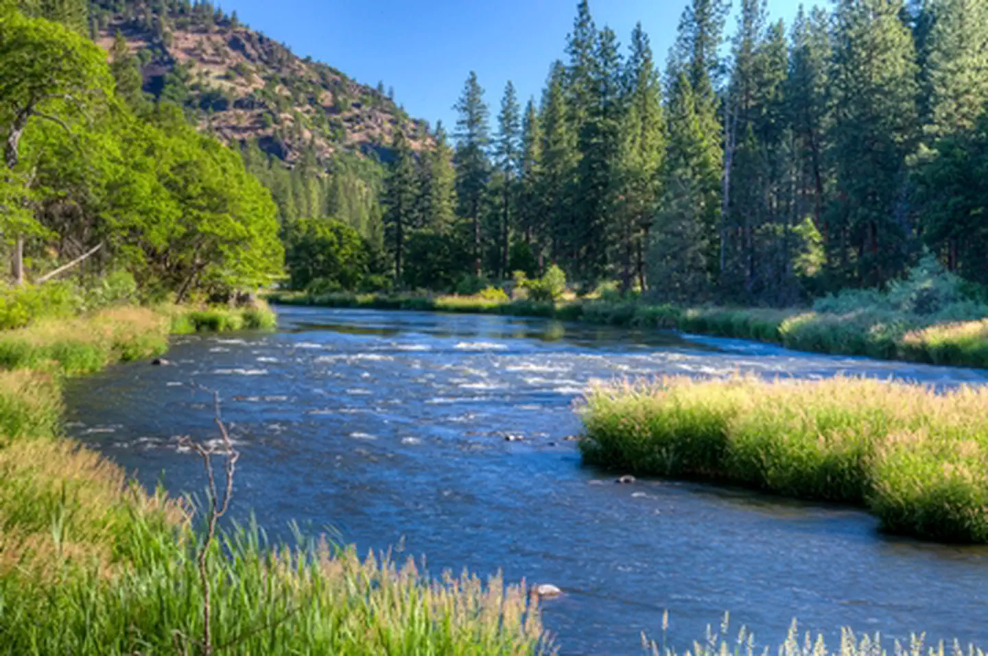
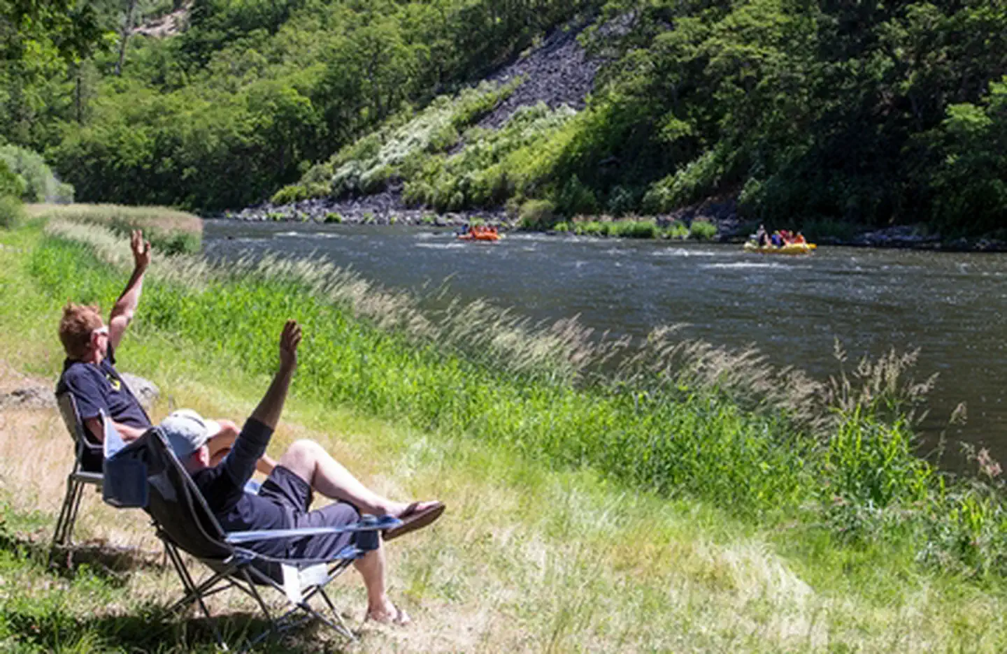
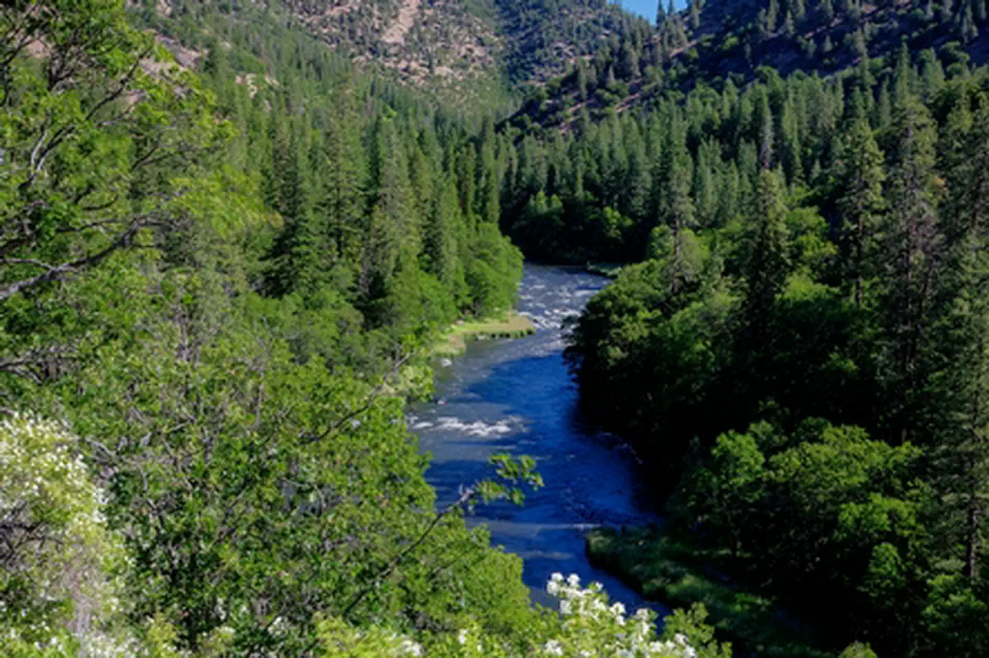
Upper Klamath Wild and Scenic River is managed by Bureau of Land Management and is located near Keno, Oregon. The Klamath River begins in Oregon's Klamath Basin, then cuts through the Cascades and the Klamath Mountains before entering the Pacific Ocean in northern California. The Upper Klamath River has a lengthy season of use thanks to the steady water releases from the J.C. Boyle Dam and Powerhouse operated by PacifiCorp. The Upper Klamath River is recognized as an outstanding whitewater boating river with warm water and many class III to IV+ rapids. These classes are considered advanced to expert on the rafting scale of one to six. If you are not a seasoned river rat, there are a number of guides and outfitters who offer safe, professionally guided trips ranging from one to three days. Other popular activities along the river include camping, fishing, hunting, and scenic touring. The BLM operates the following recreation sites on the Upper Klamath River: Spring Island Day Use Site, Klamath River Campground, Turtle Primitive Camp, and Stateline Campground.
Know Before You Go:
- There is access to the opposite side of the river off of the Topsy Road. Note that this road can be in very rough shape at times.
- Check for local fire restrictions before building any campfire.
- Pack it in; pack it out at primitive campsites; no developed facilities are available.
Point of Interest:
The Upper Klamath is one of only three rivers that bisect the Cascade Mountain Range. This creates a wide diversity of habitats supporting an abundance of fish and wildlife.Things to Do at Upper Klamath Wild and Scenic River
Recreation Activities
Popular activities at Upper Klamath Wild and Scenic River include:
Nearby Activities
- Boating
- Camping
- Fishing
- Hiking
- Historic & Cultural Site
- Water Sports
Plan Your Visit
Getting There
Spring Island Day-Use Site: From Ashland, Oregon, travel east on State Highway 66 for approximately 43 miles. Turn right onto J.C. Boyle Powerhouse Road (40-6E-1.2). Follow J.C. Boyle Powerhouse Road (40-6E-1.2) for approximately 4 miles to Spring Island Day Use Site. From Klamath Falls, Oregon travel west on State Highway 66 for approximately 30 miles. Turn left onto J.C. Boyle Powerhouse Road (40-6E-1.2). Follow J.C. Boyle Powerhouse Road (40-6E-1.2) for approximately 4 miles to Spring Island Day Use Site. Beyond Spring Island Day-Use Site: Upper Klamath Campground turnoff 3 miles. Turtle Campground turnoff 3.5 miles. Narrow and rough road.
GPS Coordinates: 42.08951000000000, -122.07277000000001
Contact & Resources
Phone: 541-883-6916
Additional Information: