Wallowa & Grande Ronde Wild and Scenic Rivers
Overview
Wallowa & Grande Ronde Wild and Scenic Rivers is managed by Bureau of Land Management and is located near Wallowa, Oregon.
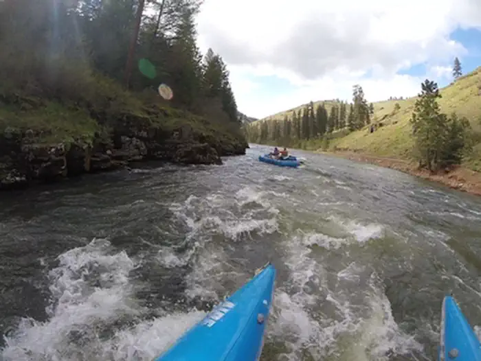
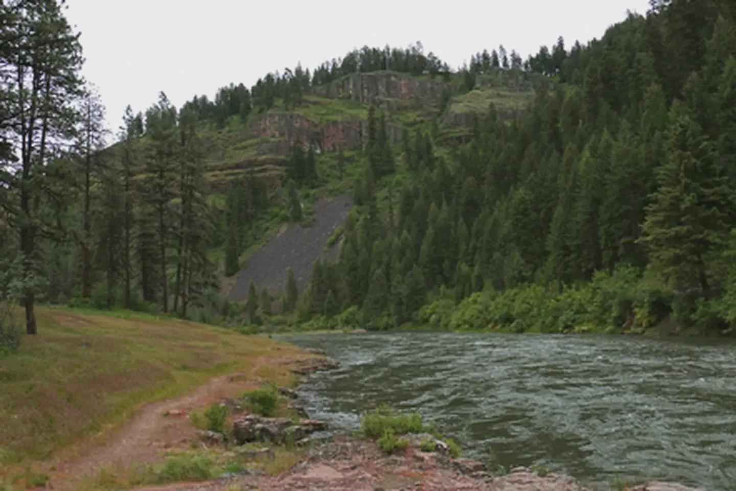
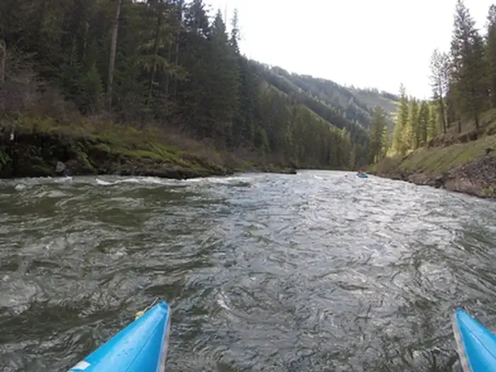
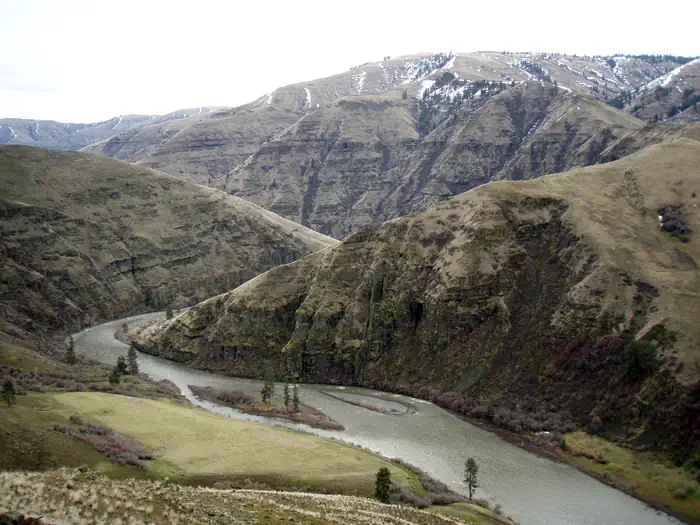
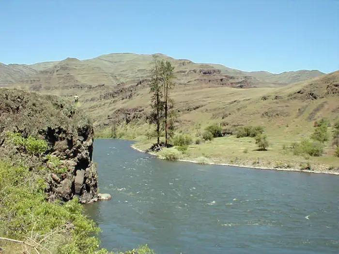
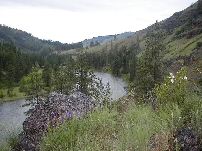
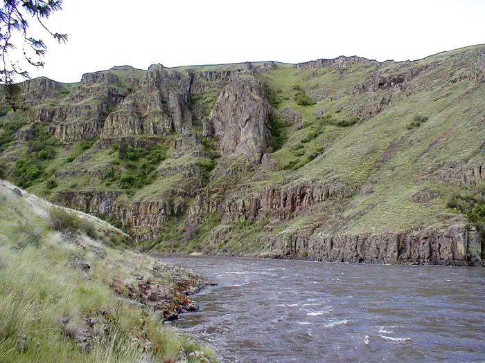
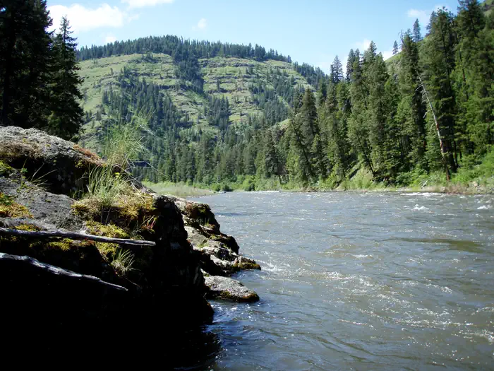
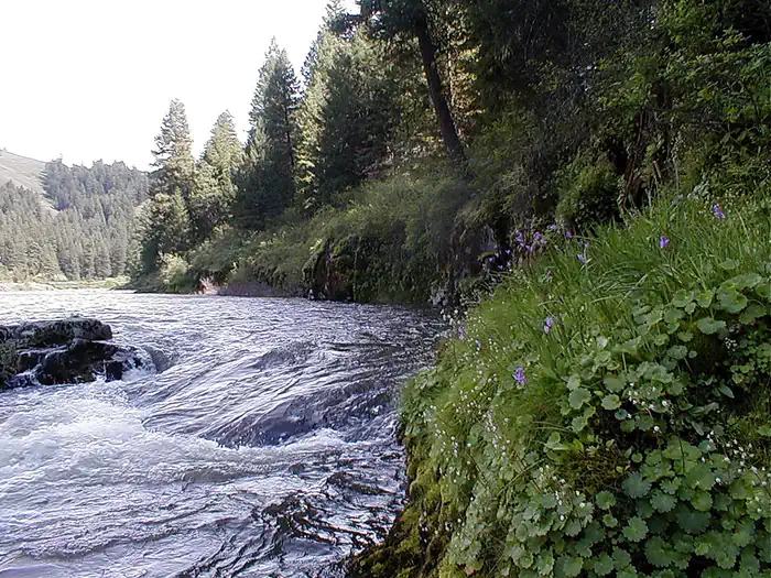
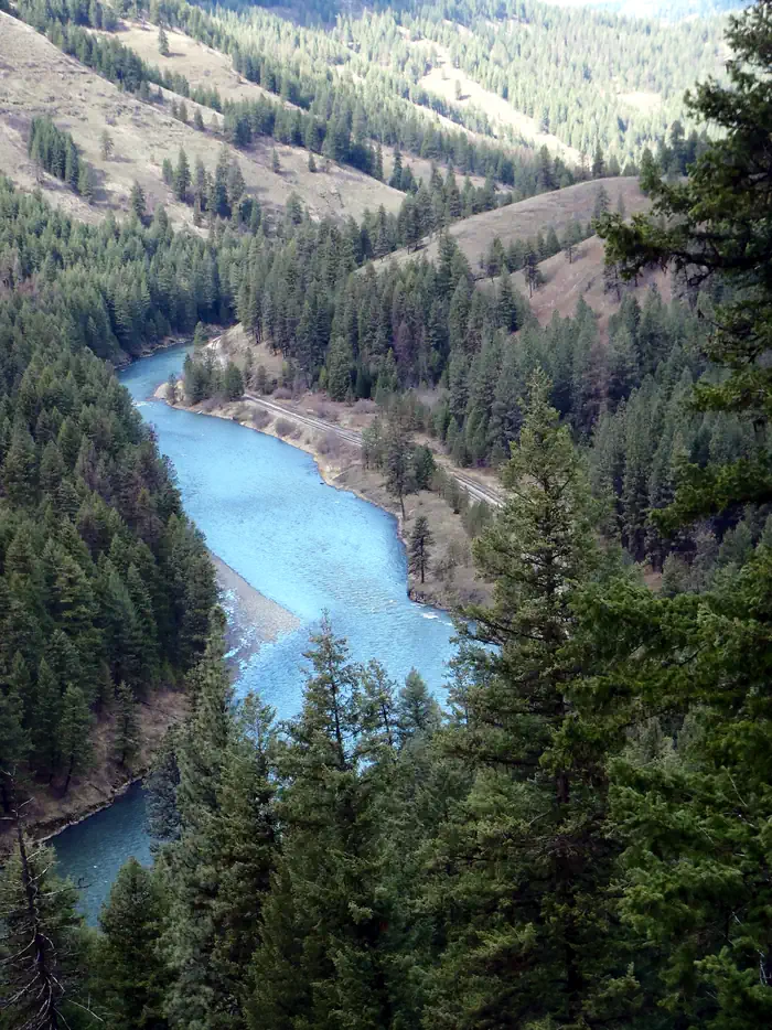
The Wallowa and Grande Ronde Rivers from Minam, Oregon to Heller Bar, Washington include 10 miles of the Wallowa River, and 80 miles of the Grande Ronde River. Due to topography, access and river character, these river segments are managed as one river corridor. The rivers between Minam and the Oregon-Washington state line are designated National Wild & Scenic Rivers and Oregon State Scenic Waterways and are cooperatively managed by the Bureau of Land Management, U.S. Forest Service, and Oregon Parks & Recreation Department.
Many boaters start their trip on the Wallowa River at Minam, Oregon, a tributary of the Grande Ronde river. Trips launched from here typically last 2 to 3 days, although shorter or longer trips are possible with proper planning. Other river access points include Wildcat (or Powwatka) Bridge, Mud Creek, Troy, Boggan’s Oasis, and Shumaker.
Because the rivers are free-flowing, water level and river character can change suddenly and dramatically depending on the time of year, weather, and snowpack. Typical river levels during the primary floating season range between 2,000 and 10,000 cf/s. (cubic feet per second). High, fast water conditions usually occur in the spring and early summer as warmer temperatures and rainfall melt mountain snow. Shallow, slower conditions typically occur by mid-July and remain through the fall and winter months, with less water and more exposed rocks being common. Boaters are strongly advised to obtain up-to-date river conditions and weather information when planning their trip. Visitors wishing to avoid crowds are advised to plan their trip to avoid weekends and holidays between mid-May and early July.
Vehicle shuttle routes often include rough roads and may require good map reading skills and/or GPS to follow. Some roads may be unmaintained or impassable inquire locally for current conditions. Gasoline, food, and other services are often not available in rural areas. Cell phone service is generally not available in the remote, rugged terrain of the river corridor. Drivers should be well prepared, and carry extra fuel, food, water, and a spare tire. For safety, always tell someone where you are going and when you expect to return.
Know Before You Go:
- Free, self-issued river permits are required for all boating on the Wallowa & Grande Ronde rivers in Oregon, and when using BLM lands above the high-water mark in Washington.
- Primitive, undeveloped river camping is available on a first-come, first-serve basis and campsite competition can be high during peak boating season. To maximize your feeling of privacy, avoid trips on holidays and busy weekends or take a trip during the off season.
- Visitors are required to follow low impact, “Leave No Trace” principles to minimize the traces of their stay and help preserve the natural resources. Mandatory fire pan and portable toilet use, as well as packing out all garbage and treading lightly on vegetation, helps keep the river corridor clean and healthy for present and future generations. Heavily impacted areas can often lead to further restrictions and may need to be temporarily closed until they can recover.
- No amenities or improvements exist in much of the river corridor. Natural and human-created hazards exist, including falling trees, rapids, wildlife, bridge abutments, inclement weather, primitive roads, and rugged terrain. Search and rescue assistance in the canyons is very difficult, dangerous, costly, and time-consuming. Plan ahead, use caution, and be prepared.
- For a developed camping experience, consider the Oregon State Parks campground at Minam State Recreation Area, two miles north of Minam, Oregon. Open seasonally.
Things to Do at Wallowa & Grande Ronde Wild and Scenic Rivers
Recreation Activities
Popular activities at Wallowa & Grande Ronde Wild and Scenic Rivers include:
Nearby Activities
- Accessible Swimming
- Camping
- Fishing
- Hiking
- Hunting
- Paddling
- Swimming
- Wildlife Viewing
Plan Your Visit
Getting There
From Enterprise, Oregon: Drive west 31 miles on State Highway 82. The highway crosses the Wallowa River at Minam, Oregon.
GPS Coordinates: 45.62114000000000, -117.72293999999999
Contact & Resources
Phone: 541-523-1256
Additional Information:
Additional Information
- Avenza Maps Wallowa and Grande Ronde River Boaters Guide
- Umatilla National Forest
- Wallowa-Whitman National Forest
- Boater Services
- GPS-Ready PDF Map of the Wallowa Wild and Scenic River
- Leave-No-Trace Principles
- Grande Ronde Wild and Scenic River at rivers.gov
- GPS-Ready PDF Map of the Grande Ronde Wild and Scenic River
- Photo Album: Grande Ronde River
- Photo Album: Wallowa River
- Interactive Video: 360° video along the Wallowa River
- Wallowa Wild and Scenic River at rivers.gov
- The Eagle Cap Excursion Train
- Things to Know Before Your River Trip
- Boating on the Wallowa and Grande Ronde Rivers
- Minam State Recreation Area