Lake Superior Estuarine Research Reserve
Overview
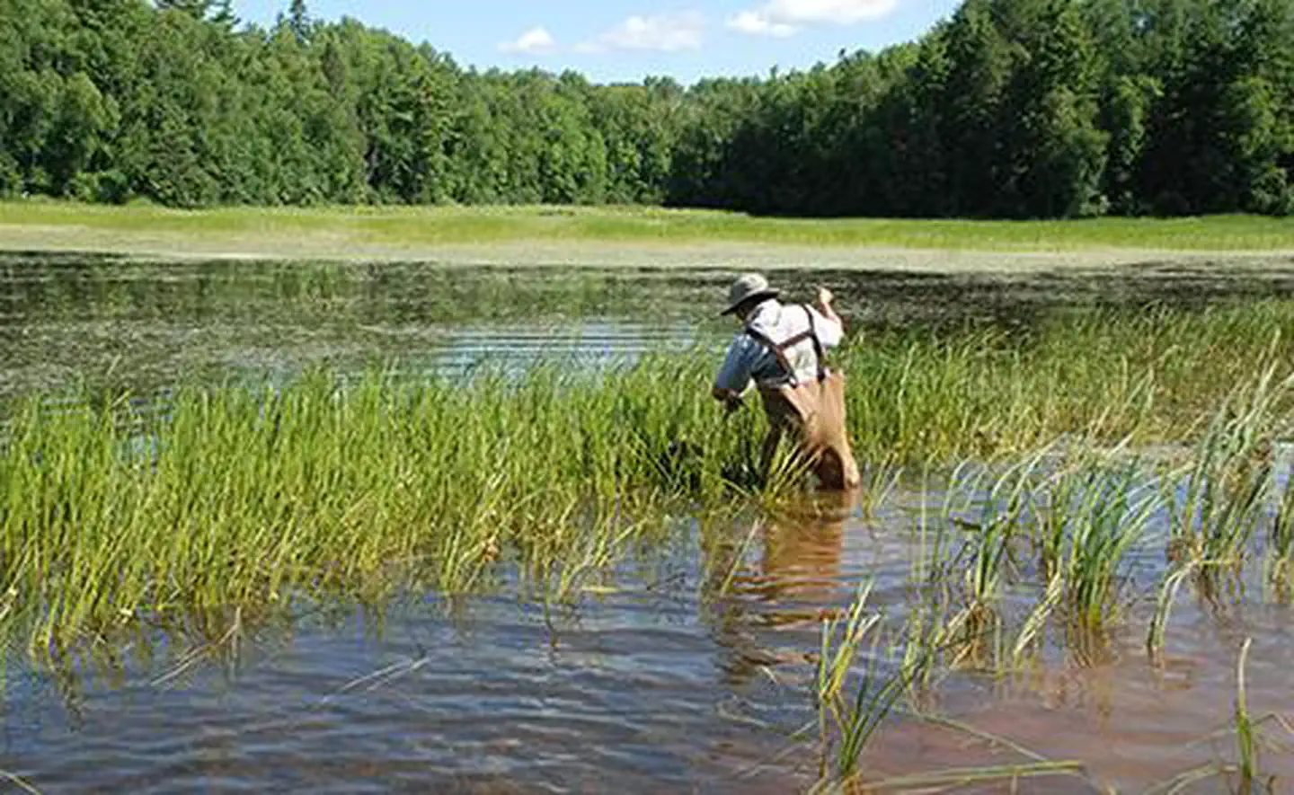
Lake Superior Estuarine Research Reserve is managed by National Oceanic and Atmospheric Administration and is located near Whiteface Reservoir, Minnesota. The 16,697-acre Lake Superior Reserve is a combination of four distinct land areas and portions of connecting waterways in Douglas County, in the northwest corner of Wisconsin where the St. Louis River flows into Lake Superior. Each area possesses its own combination of habitats. The Reserve includes uplands and submerged lands; riparian and riverine habitat; riverine islands; emergent freshwater marshes, interdunal wetlands and scrub swamp; aspen, dry and hardwood forests; and open sand beach and dunes. The four non-contiguous areas are located within 10 miles of each other. The site consists exclusively of public lands and waters owned by Wisconsin Department of Natural Resources, City of Superior, Douglas County and the University of Wisconsin. The Reserve will provide a wide range of estuarine research and public education opportunities.
Things to Do at Lake Superior Estuarine Research Reserve
Recreation Activities
Popular activities at Lake Superior Estuarine Research Reserve include:
Nearby Activities
- Paddling
- Photography
- Swimming
Plan Your Visit
Getting There
The site is located in Douglas County, in the northwestern corner of Wisconsin along the St. Louis River, bordering Minnesota and Lake Superior.
GPS Coordinates: 47.15000000000000, -92.28333000000001
Contact & Resources
Phone: 715-392-3141
Additional Information: