Page Springs Campground
- Price:
- $16 per night
- Rating:
- 5.0 stars (4 reviews)
Steens Mountain Cooperative Management & Protection Area is managed by Bureau of Land Management and is located near Diamond, Oregon.
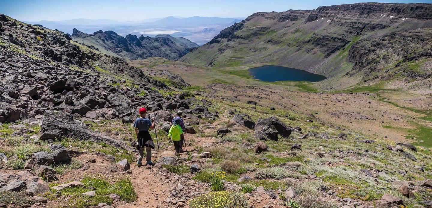
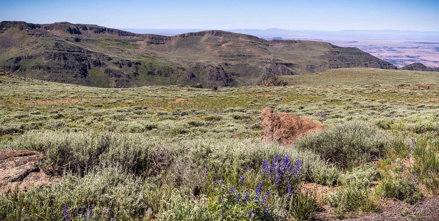
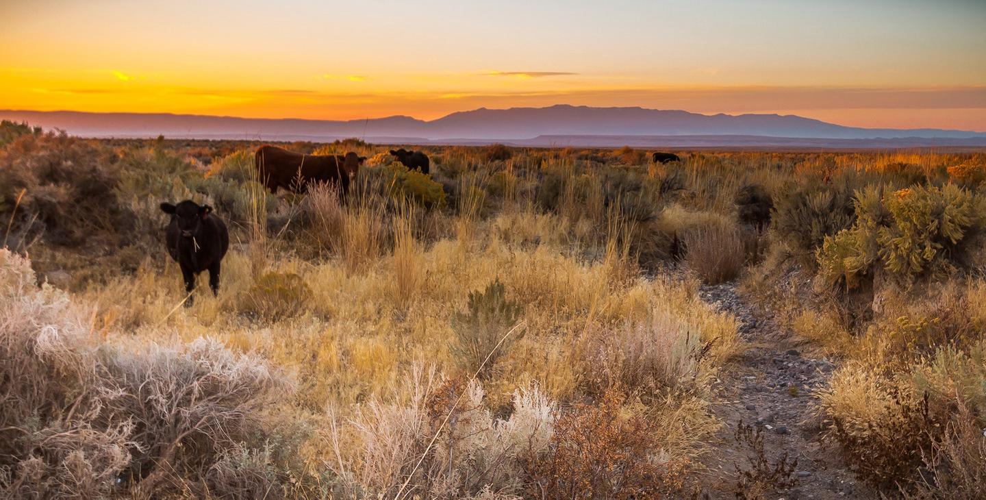
The Steens Mountain Cooperative Management and Protection Area (CMPA) is approximately 500,000 acres of private and public land offering diverse scenic and recreation experiences. The CMPA encompasses deep glacier-carved gorges, stunning scenery, wilderness, wild and scenic rivers, and a way of life for all who live there. The 52-mile Steens Mountain Backcountry Byway provides access to four campgrounds, numerous trails, the Riddle Brothers Ranch National Historic District, wild horse roaming areas, and opportunities for fishing and hunting. The views from Kiger Gorge, East Rim, Big Indian Gorge, Wildhorse, and Little Blitzen Gorge overlooks are not to miss!
The Steens Mountain CMPA is a mixture of public and private lands and specially designated areas where particular regulations may apply. Obey road closure signs and stay on designated open routes (which are those shown on current BLM maps) driving off road is prohibited. Respect land owners and always get permission to go onto private property.
Steens Mountain Cooperative Management & Protection Area Brochure
Steens Mountain Cooperative Management & Protection Area offers 1 campground with various amenities and settings. From developed campgrounds with full facilities to primitive backcountry sites, there are options for every camping style.
Popular activities at Steens Mountain Cooperative Management & Protection Area include:
Steens Mountain Cooperative Management & Protection Area is a popular destination. Campground reservations typically open several months in advance. For peak season visits, book as early as possible. Check individual facility pages for specific booking windows and availability.
From Burns, take State Highway 78 southeast for approximately 2 miles. Turn right onto State Highway 205 and travel south for 60 miles to Frenchglen. Just past Frenchglen, turn left onto the Steens Mountain Loop Road.
GPS Coordinates: 43.09296000000000, -118.77731000000000
Phone: 541-573-4400
Additional Information: