Muddy Mountain Environmental Education Area
Overview
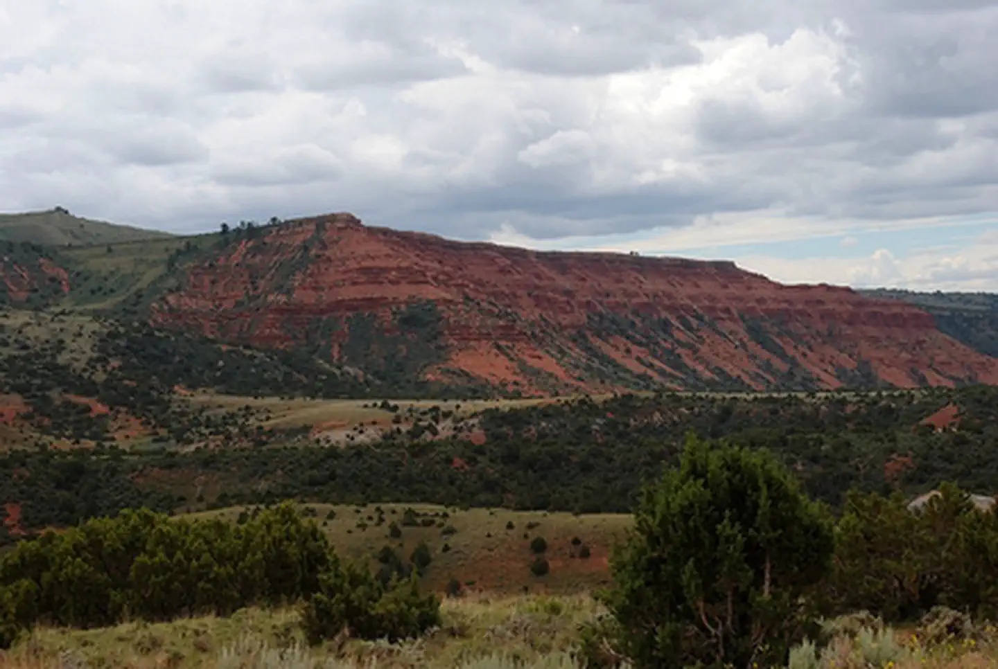
Muddy Mountain Environmental Education Area is managed by Bureau of Land Management and is located near Casper, Wyoming. The 1,260-acre Muddy Mountain Environmental Education Area (EEA) is a popular recreation area south of Casper. The two-mile Interpretive Nature Trail connects the Lodgepole and Rim campgrounds. It has 28 interpretive signs and is handicap accessible. Two overlooks located on the trail provide a unique view of the valley below. Travel along this trail is limited to hikers only.
Opportunities for watching wildlife are favorable as forest, sagebrush, and grasslands provide habitat for blue grouse and fox, as well as deer, antelope, and elk.
The 700-acre natural area is restricted to non-motorized recreational activities such as mountain biking, hiking, and primitive camping. The trail system inside the natural area accommodates hikers, mountain bikers, and horseback enthusiasts. A small parking area is located on the northwest corner of the boundary just east of Rim Campground. Two additional pedestrian gates are located along the western boundary.
The remainder of the EEA consists of multi-use trails and a general recreation area. The Corral Loop Road provides motorized access to most of this area. The multi-use trail can be used by snowmobiles in the winter and ATVs in the summer. Primitive, dispersed camping with no facilities is allowed in this area.
The 170-acre developed area meets ADA accessibility standards and includes the Rim and Lodgepole campgrounds which have a combined total of 23 campsites with picnic tables, fire rings, tent pads and trash receptacles. Potable water is available near the entrance to Lodgepole Campground. Vault toilets are located in each campground and at the trailhead to the Interpretive Nature Trail. Prices for camping: $7/night/site, $3/extra vehicle/night. Access Pass and Senior Pass holders receive half price. No charge for day use.
Access in the winter is limited to snowmachine/snowmobile via designated snowmobile trails by Wyoming State Trails. No full-size vehicular access is available in the winter/spring. Contact the Casper Field Office on status of road.
Things to Do at Muddy Mountain Environmental Education Area
Recreation Activities
Popular activities at Muddy Mountain Environmental Education Area include:
Nearby Activities
- Auto Touring
- Biking
- Camping
- Environmental Education
- Hiking
- Horseback Riding
- Hunting
- Off Highway Vehicle
- Photography
- Picnicking
- Recreational Vehicles
- Wildlife Viewing
- Winter Sports
Plan Your Visit
Getting There
From Casper, travel approximately 9 miles south on Wyoming Highway 251 to the top of Casper Mountain, where the state road ends but continues on as County Road 505. Continue for approximately 3 miles until the pavement ends, then continue an additional 2 miles to the intersection with Circle Drive (Natrona County Road 505). Continuing straight, follow the BLM gravel road for another 4.5 more miles to the EEA.
GPS Coordinates: 42.67990300000000, -106.26372499999999
Contact & Resources
Phone: 307-261-7600
Additional Information: